The Marin Trail
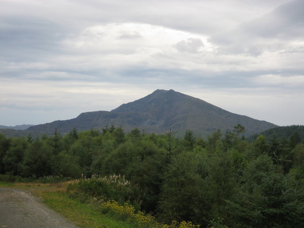
Snowdonia
Snowdonia National Park
A true old-school trail centre – fireroads on the way up, nothing but singletrack on the way down.
Mountain Biking Difficult
- Distance
- 23 km
- Ascent
- 767 m
- Descent
- 782 m
- Duration
- 2-3 hrs
- Low Point
- 77 m
- High Point
- 315 m
- Gradient
- 9˚

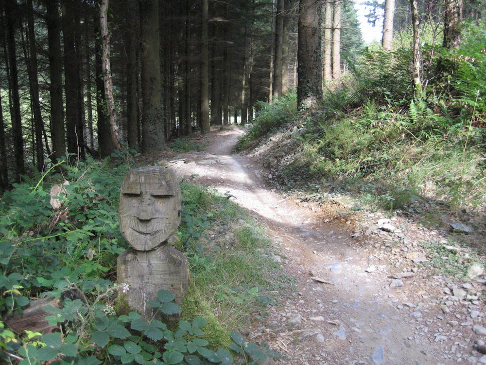
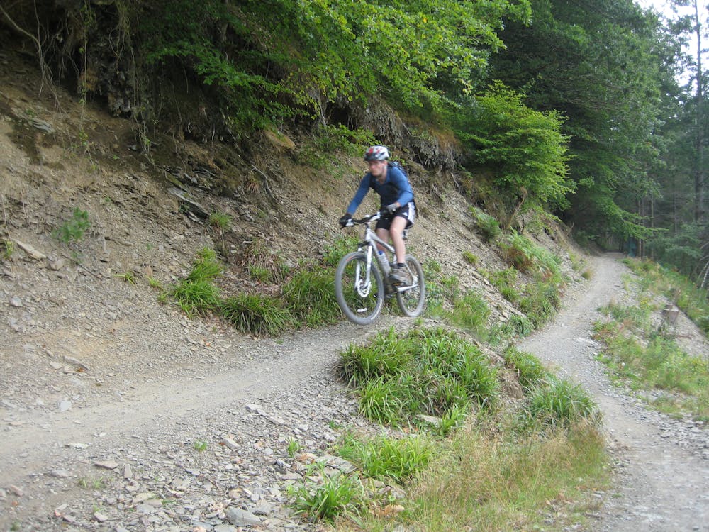
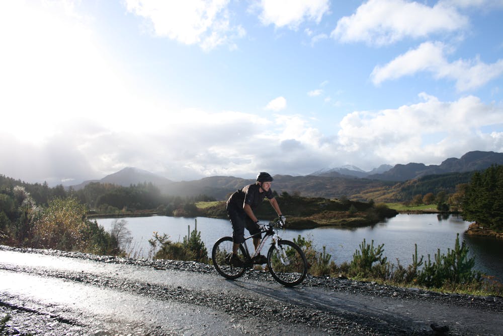
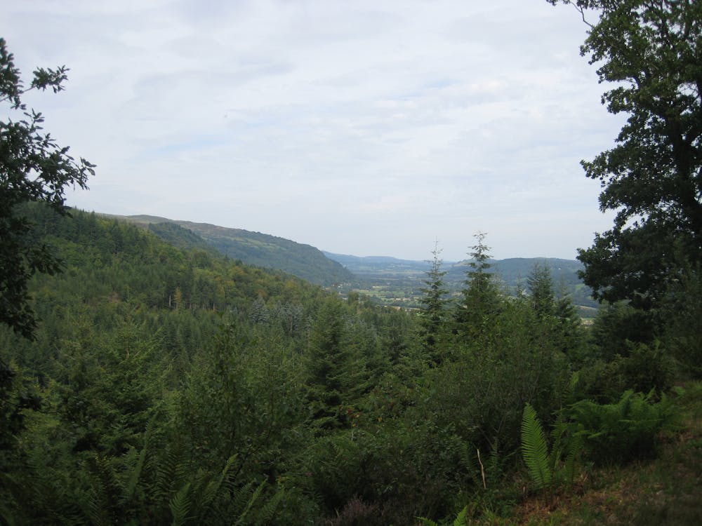
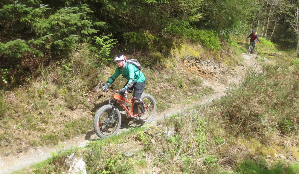
The Marin Trail was one of the first trail centres to be built in Wales. It shows too, built in the classic old-school style that marked trail centres back in the day, with a significant amount of the climbing taking place on fireroad, leaving the singletrack for the descents. Having said that, the route starts with a singletrack climb, a really pleasant one through some nice woodland that lifts you effortlessly up on to the hillside. The remainder of the climb is on fireroad, leading to the first descent – 'Pigs Might Fly'. Flowing and fast at the top, it drops you through some lovely tight corners. Another climb follows, getting you ready for 'Blue' – another cracking section that's a little twistier and more technical than the first. From there, the trail continues in a similar vein – cruisy climbs, fun descents. There's the toothy 'Dragon's Tail' – the rockiest part of the route, the fast and flowy 'Pixies' Paradise' and the boardwalks of 'Stumpdance'. The best comes last though . After the speedy fun of 'Croeso' comes a huge fireroad climb. Dig in, it's worth it, because the final two descents are stunning. Beginning with the aptly-named 'Ride Fast, Ride Free', they run together into the fastest, most flowing and most grin-inducing descent of the ride. Well-surfaced with flowing corners, it's easy to pick up speed, at which point it becomes impossible to resist popping off the numerous rollers and rises along the trail. It a final descent to rival any trail centre in the country.

- •
- •
- •
- •
- •
- •
- •
- •
Description
Route into – 25 kilometres of full-marked and carefully designed fun. With 450 metres of climbing, it'll take from 1.5 hours if you're flat out, and 3 or 4 if you're going at a more lesiurely pace. You can start the ride in Betws-y-Coed, although the 'official' start is a short drive out of town. It's probably better to start at the latter, as that way you end on a real high with the final descent.
Difficulty
Difficult
Mostly stable trail tread with some variability featuring larger and more unavoidable obstacles that may include, but not be limited to: bigger stones, roots, steps, and narrow curves. Compared to lower intermediate, technical difficulty is more advanced and grades of slopes are steeper. Ideal for upper intermediate riders.