Catstycam Red Tarn face
Lake District National Park
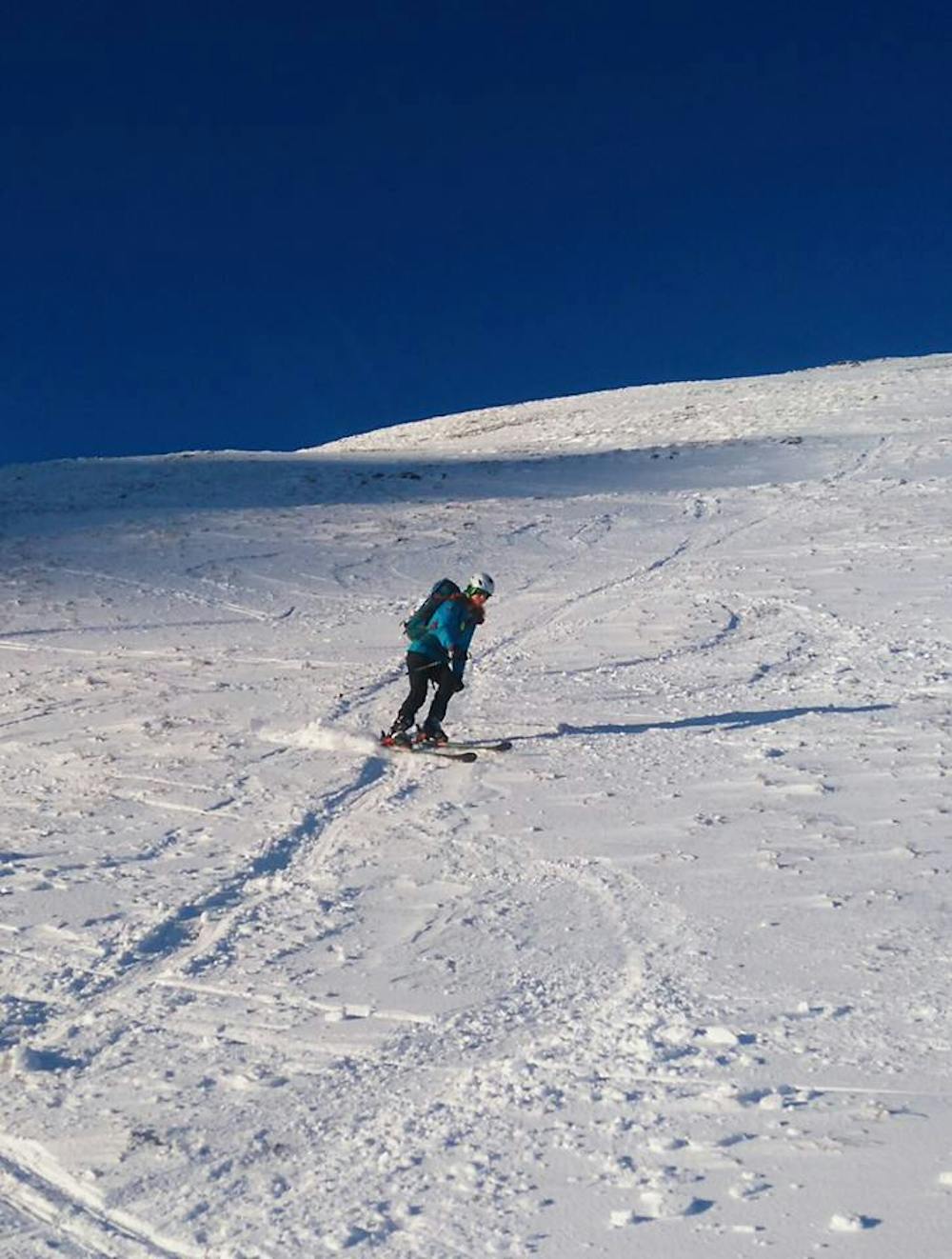
fun open face skiing above Red Tarn
Freeride Skiing Easy
- Distance
- 280 m
- Ascent
- 0 m
- Descent
- 132 m
- Low Point
- 748 m
- High Point
- 880 m
- Gradient
- 30˚

This is a popular freeride skiing route which is generally considered to be easy. It's remote, it features low exposure (e1) and is typically done between January and February. From a low point of 748 m to the maximum altitude of 880 m, the route covers 280 m, 0 vertical metres of ascent and 132 vertical metres of descent. It's graded 1.3 and Labande grade 2. You'll need skins to complete it safely.
Description
wide open face skiing down to Red Tarn
Difficulty
Easy
Wide gentle slopes at around 20 degrees or less.
Low Exposure (E1)

Exposure is limited to that of the slope itself. Getting hurt is still likely if the slope is steep and/or the snow is hard.
Remoteness

Away from help but easily accessed.
Best time to visit
Features
- Face
- Walk Required
Equipment required
- Skins