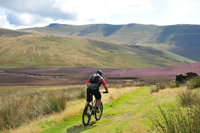
10 routes · Mountain Biking
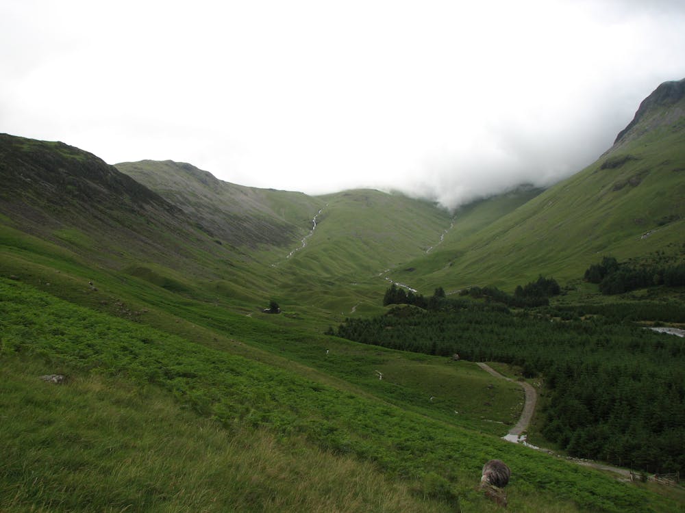
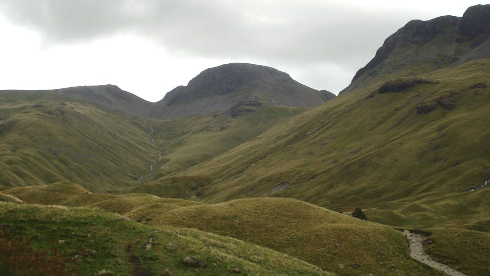
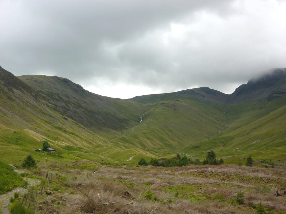
A pleasant easier ride that takes you into the heart of the Mountains and back on forest roads through the beautiful Ennerdale Valley.
Mountain Biking Easy

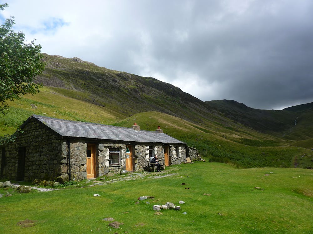
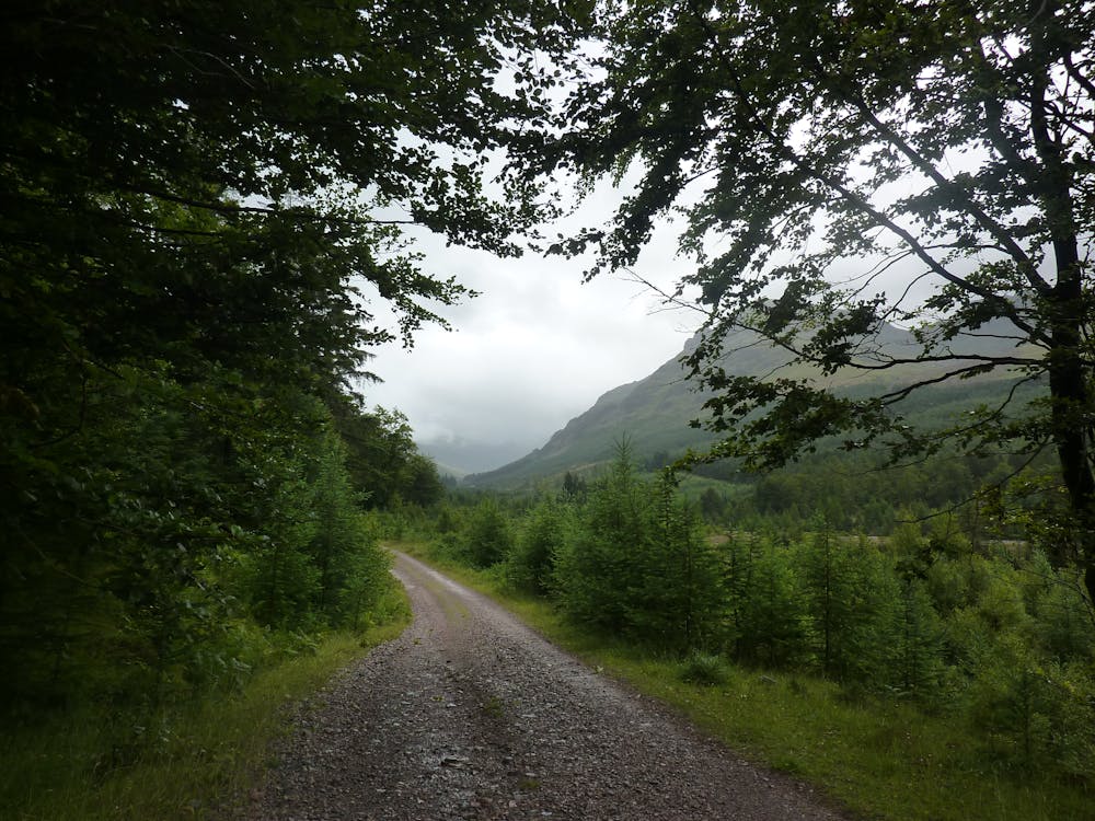
From the parking area at Bowness Knott, on the northern shores of Ennerdale Water, follow well-surfaced forest roads heading steadily up the valley. eventually reaching the remote Black Sail youth hostel and a perfect spot for a picnic whilst admiring the lofty peaks all around. Cross the bridge and return via undulating forest roads on the other side of the river, before rejoining the outward route to return. A great family ride.
Easy
Mostly smooth and non-technical singletrack with unavoidable obstacles 2in/5cm tall or less. Avoidable obstacles may be present. Ideal for beginner riders.
10 routes · Mountain Biking