10 routes · Mountain Biking
A quiet ride away from the busier parts of the Lakes, taking in the little-known track over Floutern Pass and gentle trails above the lovely Loweswater.
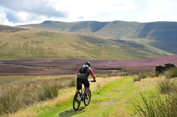
Mountain Biking Difficult

From the parking at Maggie's Bridge, follow the lonely valley of Mosedale up to a push past Floutern Tarn. Be aware that in anything but dry conditions this can be boggy! A great descent drops you down to Ennerdale, where hilly single-track lanes bring you back through Lamplugh to some fine high level riding above Holme Wood and Loweswater and a steep old mine track descent to finish.
Difficult
Mostly stable trail tread with some variability featuring larger and more unavoidable obstacles that may include, but not be limited to: bigger stones, roots, steps, and narrow curves. Compared to lower intermediate, technical difficulty is more advanced and grades of slopes are steeper. Ideal for upper intermediate riders.
10 routes · Mountain Biking