160 m away
Pennine Way Day 2 - Crowden to Standedge
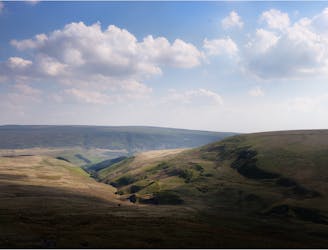
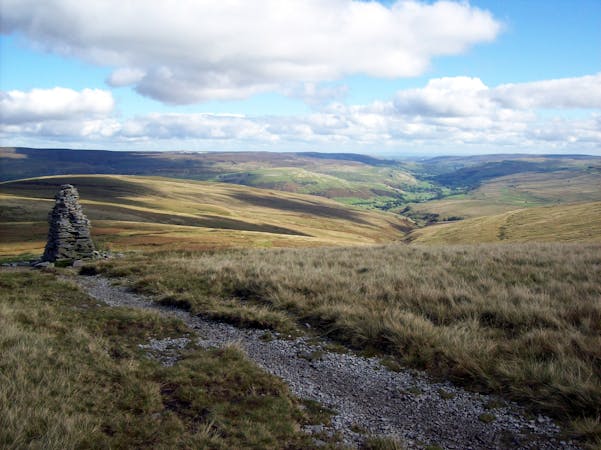
A picturesque journey across barren moorland
Difficult Hiking
- Distance
- 18 km
- Ascent
- 689 m
- Descent
- 521 m
Crowden - Westend Moss - White Low - Black Hill - Crowden Great Brook - Laddow Rocks - Crowden
Hiking Easy

This is a popular hiking route which is generally considered to be easy. It's remote, it features medium exposure and is typically done all year round. From a low point of 210 m to the maximum altitude of 580 m, the route covers 14 km, 470 vertical metres of ascent and 470 vertical metres of descent.
Crowden - Westend Moss - White Low - Black Hill - Crowden Great Brook - Laddow Rocks - Crowden
Easy
Walking along a well-kept trail that’s mostly flat. No obstacles are present.

The trail contains some obstacles such as outcroppings and rock which could cause injury.
Away from help but easily accessed.
160 m away
A picturesque journey across barren moorland
Difficult Hiking
15 routes · Hiking