7.5 km away
Pennine Way Day 1 - Edale to Crowden
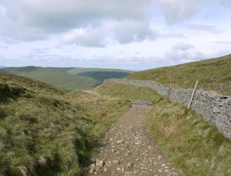
A tough (but scenic) start to a long journey!
Difficult Hiking
- Distance
- 27 km
- Ascent
- 767 m
- Descent
- 811 m
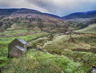
Relive The Mass Trespass that opened up public walks for all!
Hiking Easy

This is a popular hiking route which is generally considered to be easy. It's not remote, it features low exposure and is typically done all year round. From a low point of 216 m to the maximum altitude of 633 m, the route covers 14 km, 640 vertical metres of ascent and 644 vertical metres of descent.
A lovely day out to an iconic landmark
Easy
Walking along a well-kept trail that’s mostly flat. No obstacles are present.

The path is on completely flat land and potential injury is limited to falling over.
Close to help in case of emergency.
7.5 km away
A tough (but scenic) start to a long journey!
Difficult Hiking
7.6 km away
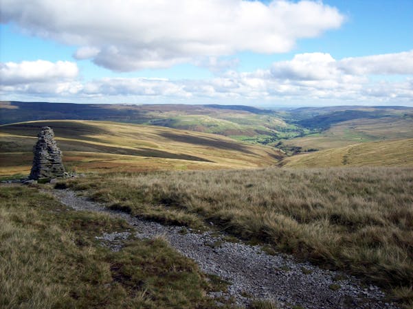
Walking in the footsteps of legends, taking in an iconic plateau and walking part of the Pennine Way.
Moderate Hiking
15 routes · Hiking