Two Moors Way
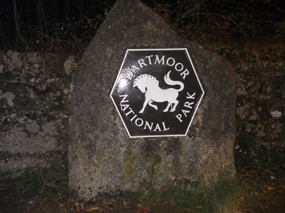
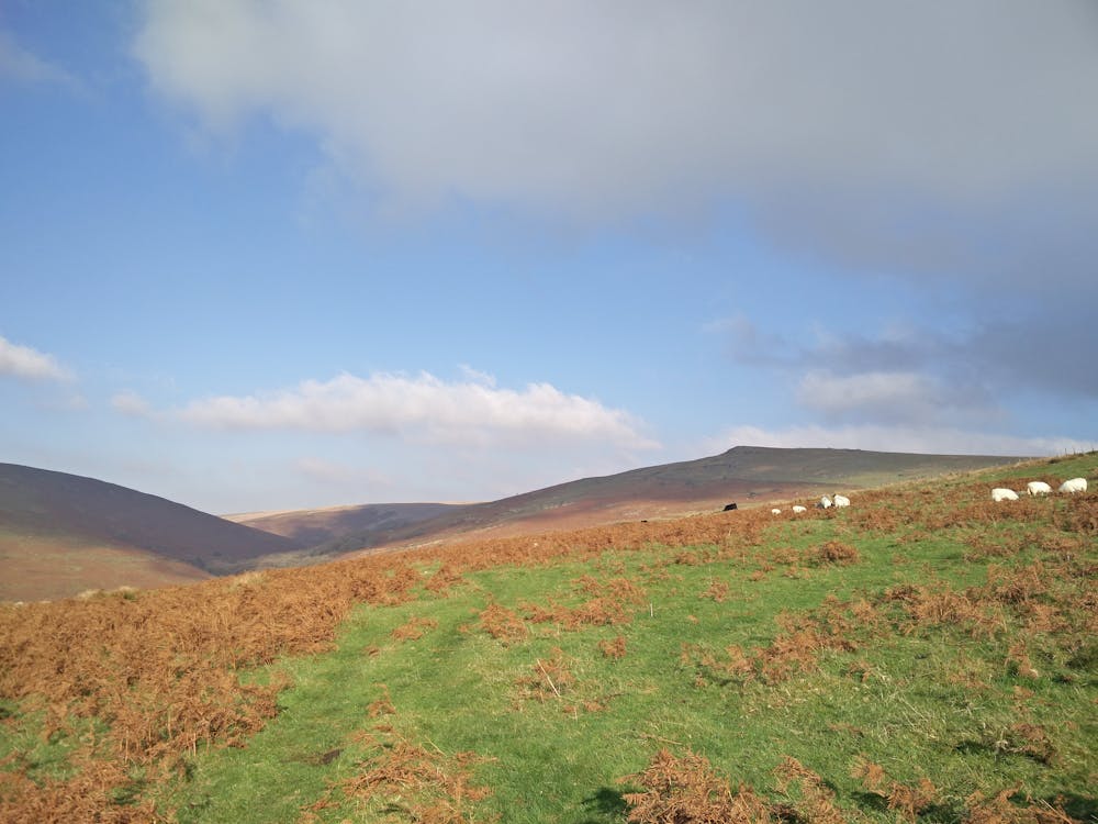
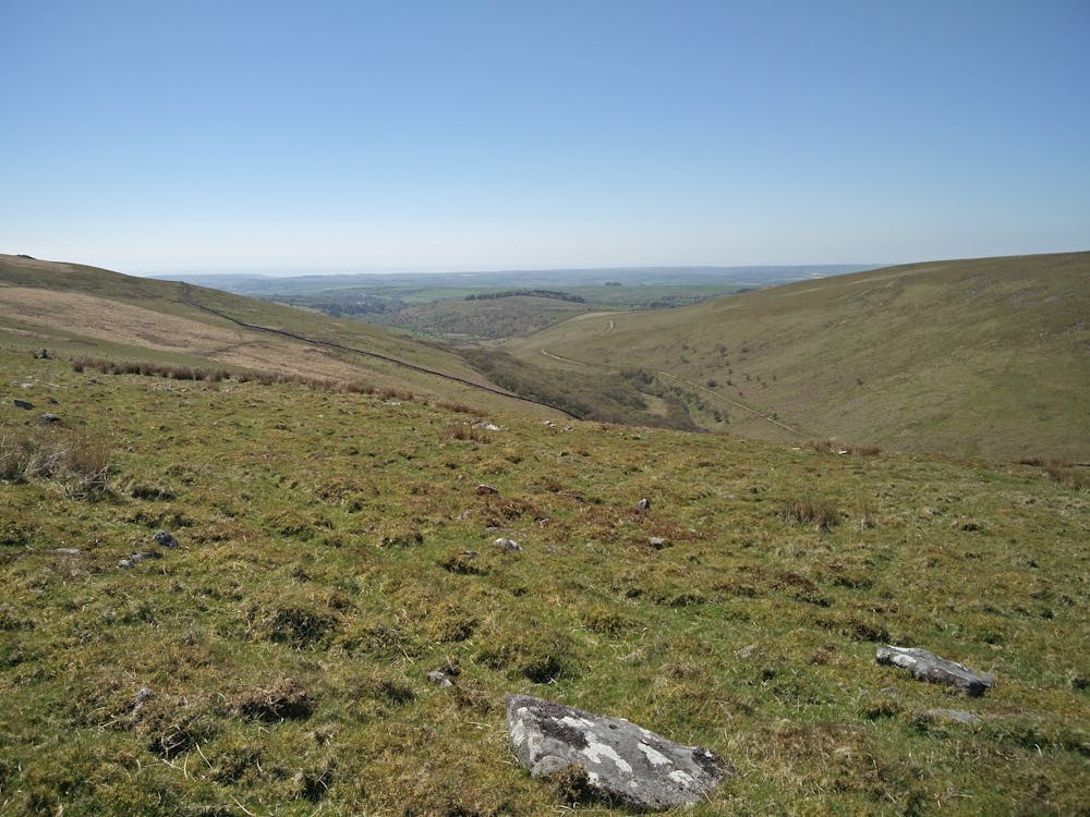
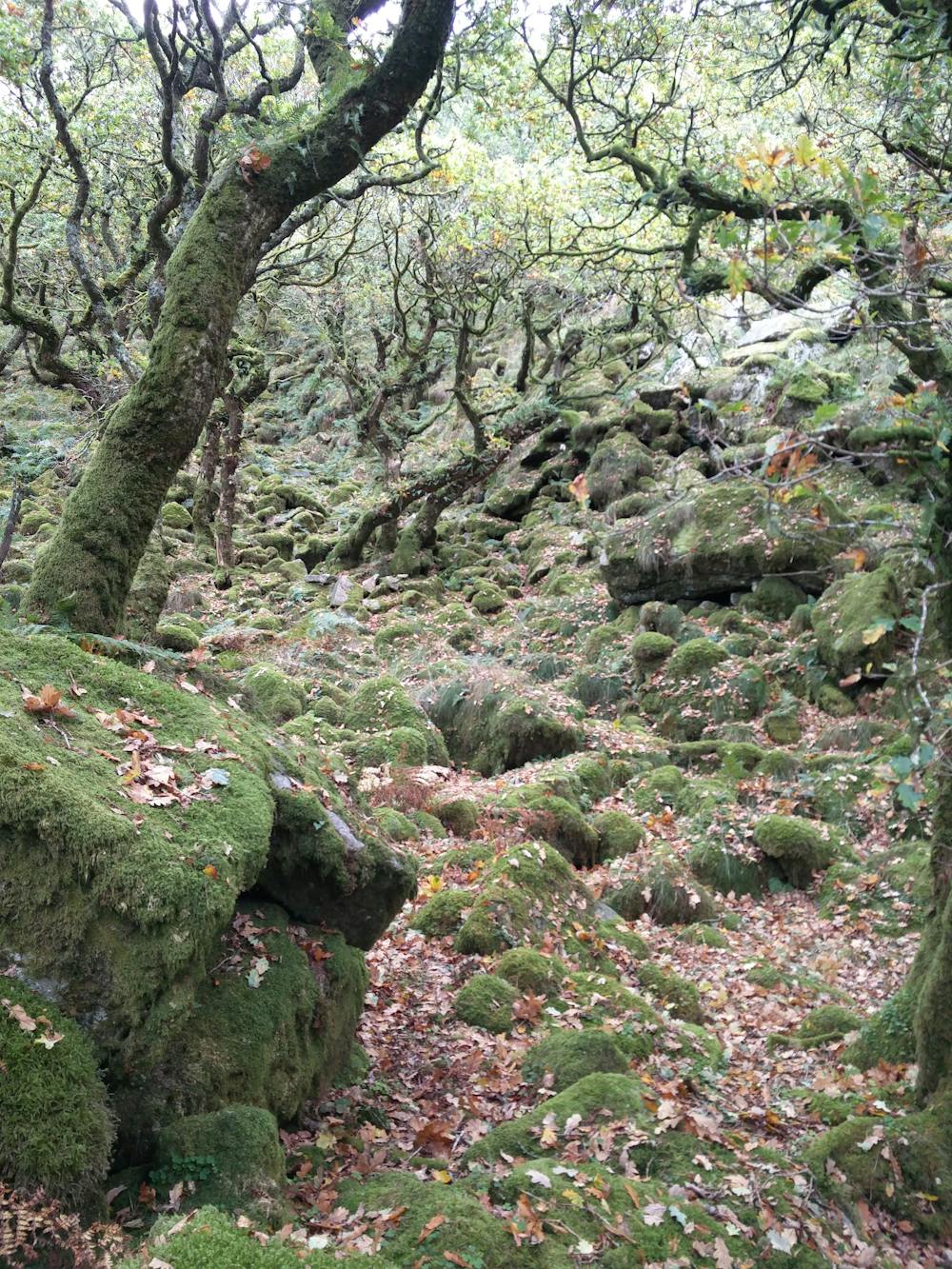
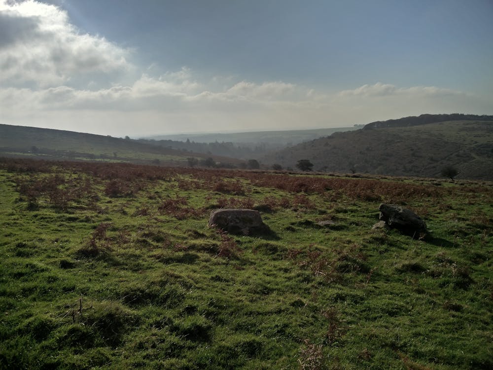
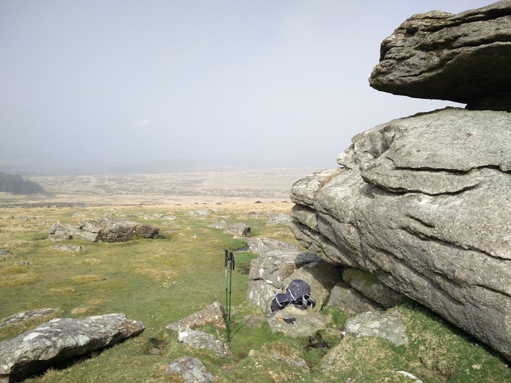
Dartmoor National Park
Exmoor National Park
Trekking from South Dartmoor all the way to North Exmoor. Coast to Coast possible.
Also in Somerset, United Kingdom
Hiking Moderate
- Distance
- 1402 km
- Ascent
- 13 km
- Descent
- 13 km
- Duration
- 1 day +
- Low Point
- 61 m
- High Point
- 521 m
- Gradient
- 2˚

The original Two Moors Way spans 102 miles from Ivybridge on the southern boundary of Dartmoor National Park to Lynmouth on the North Devon Coast in Exmoor National Park. If you wish to complete a Coast to Coast walk you can start at Wembury on the South Devon coast and follow the Erme-Plym trail to Ivybridge, adding around 15 miles. See the route charts for a detailed overview of the route. https://twomoorsway.org/tips-faqs/
- •
- •
- •
- •
- •
- •
- •
- •
- •
Difficulty
Moderate
Hiking along trails with some uneven terrain and small hills. Small rocks and roots may be present.
Medium Exposure

The trail contains some obstacles such as outcroppings and rock which could cause injury.
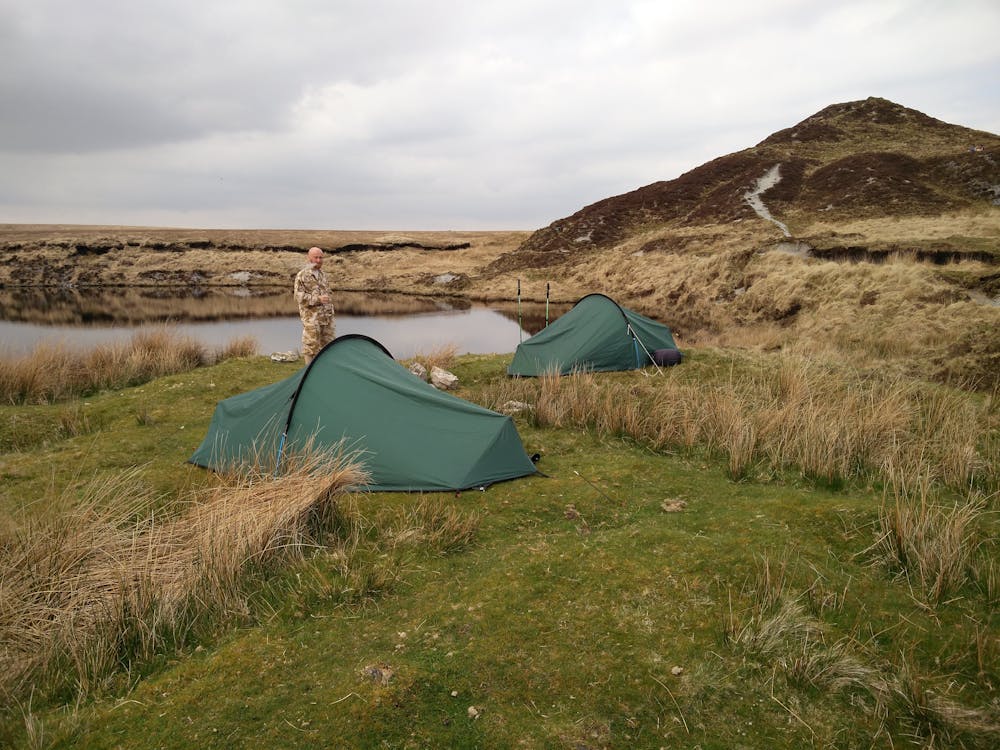
Remoteness
Away from help but easily accessed.
Best time to visit
Features
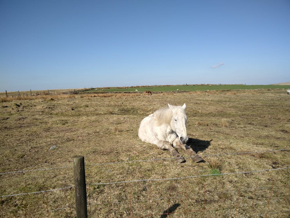
- Wildlife
- Picturesque
- Wild flowers
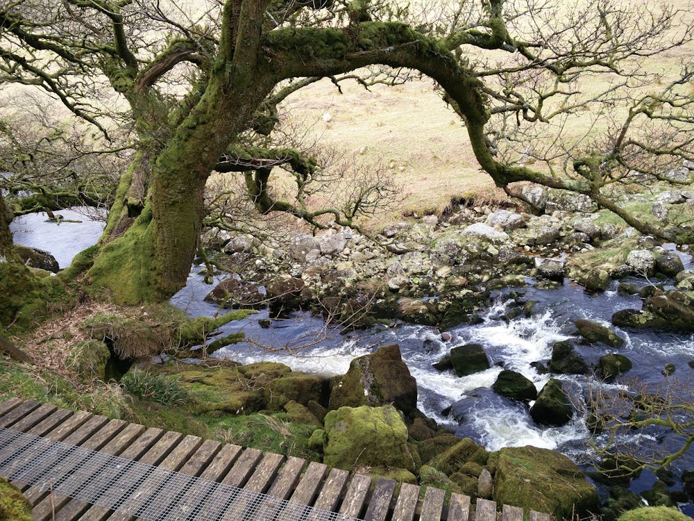
- Water features
- Forestry or heavy vegetation