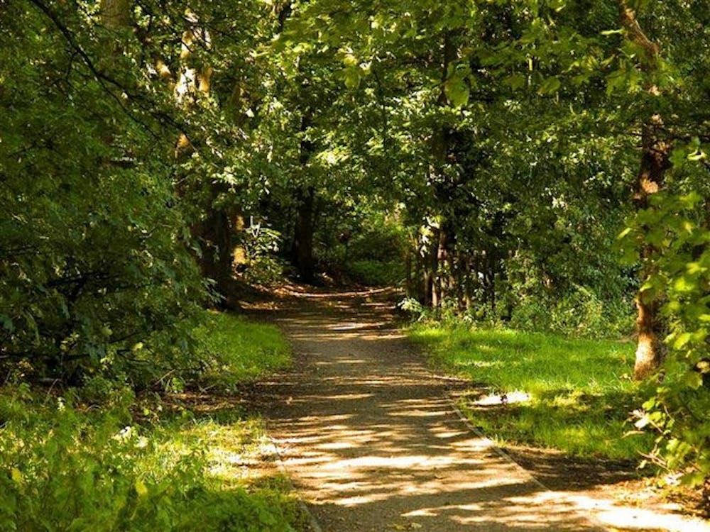
Epping Forest
This circular route starts at Epping tube station and takes you through the quiet roads in and around Epping Forest.
Road Biking Moderate
- Distance
- 29 km
- Ascent
- 355 m
- Descent
- 356 m
- Duration
- 1-2 hrs
- Low Point
- 19 m
- High Point
- 128 m
- Gradient
- 3˚

This is a popular road biking route which is generally considered to be moderate. It's an unknown remoteness, it features unknown exposure and is typically done in an unknown time of year. From a low point of 19 m to the maximum altitude of 128 m, the route covers 29 km, 355 vertical metres of ascent and 356 vertical metres of descent.
Description
The route is on road so will suit all types of bike but if you're on an MTB or Hybrid it's well worth exploring the signed off road paths and tracks in the forest.
Difficulty
Moderate