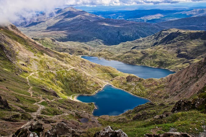
4.6 km away
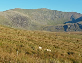
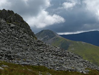
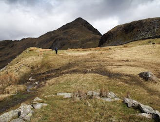
Nantlle Ridge
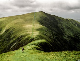
A grassy stride along elegant curved arêtes, the traverse of the main ridge linking all the summits in the range is a classic Welsh walk, with a rare sense of peace and spacious seaward views.
Severe Hiking
- Distance
- 8.3 km
- Ascent
- 632 m
- Descent
- 606 m