
7.6 km away
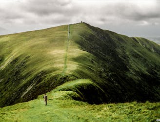
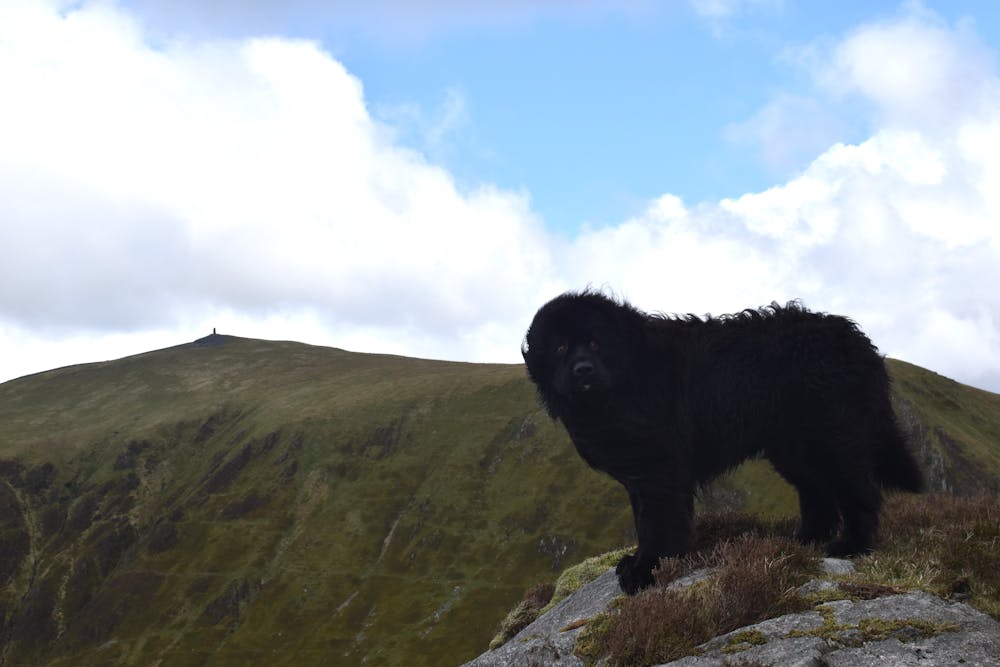
Snowdon's Quiet Side - Cwm Clogwyn Round
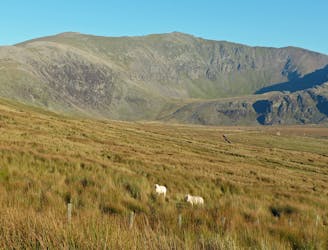
Snowdon isn’t short of great walking routes to its crowded summit, but if you think they are all infested with other folk you can think again.
Difficult Hiking
- Distance
- 15 km
- Ascent
- 952 m
- Descent
- 955 m