2.2 km away
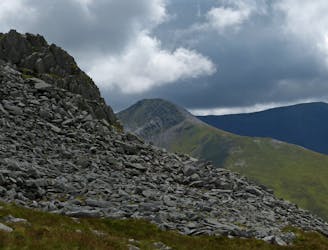
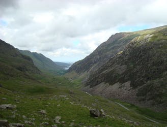
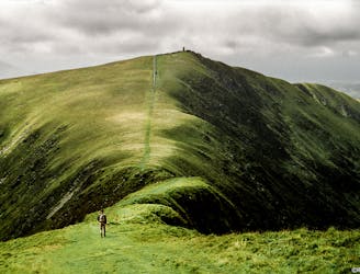
Cnicht - The Welsh Matterhorn
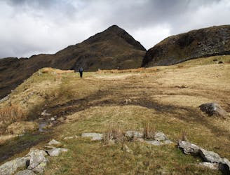
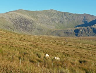
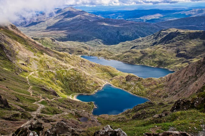
This walk around Cnicht and it aqueous environs is one of the most enjoyable in Snowdonia offering some of the finest views in the national park, a smidgeon of optional scrambling and a tour of the most enchanting llynau imaginable.
Difficult Hiking
- Distance
- 10 km
- Ascent
- 683 m
- Descent
- 681 m