FATMAP by Strava

Yr Aran

Snowdonia

Snowdonia National Park

One of Snowdon’s much quieter and less-visited neighbours

Hiking Moderate

Distance
10 km
Ascent
565 m
Descent
565 m
Duration
3-4 hrs
Low Point
189 m
High Point
740 m
Gradient
15˚
Yr Aran Map

Yr Aran is one of Snowdon’s much quieter and less-visited neighbours. The mountain stands at the head of Cwm Llan, and reaches some 747 metres (2,451ft) in height.

Description

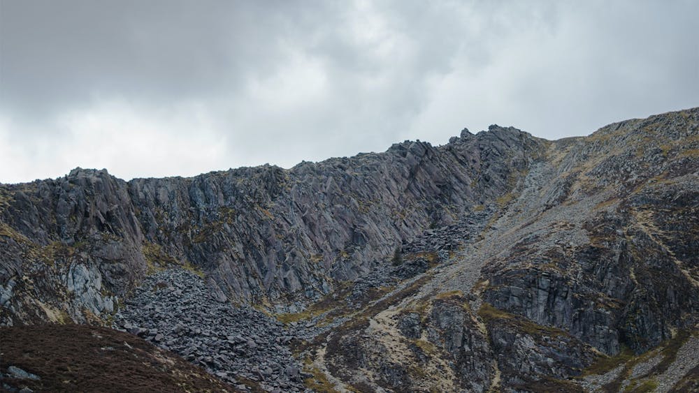
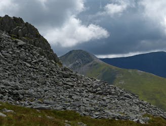
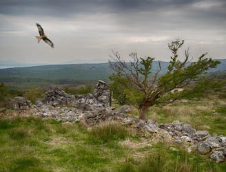
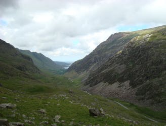
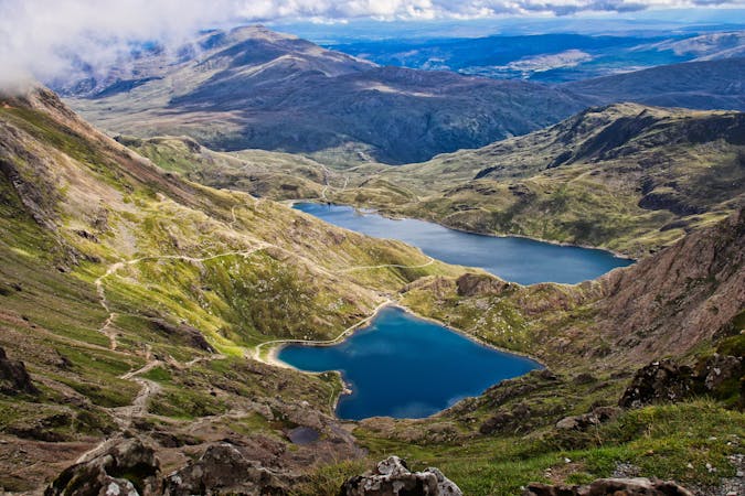
It offers up amazing views of Y Lliwedd and Yr Wyddfa’s South Ridge but feels far from the madding crowds that throng the summit of Snowdon itself. Looking west the view is equally spectacular, with panoramas of Beddgelert Forest and the snaking Nantlle Ridge behind, as craggy Moel Hebog rises to the south west.

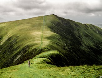
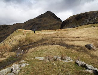
Yr Aran can either be climbed from Nantgwynant via the Watkin Path or Rhyd Ddu. From the car park at Rhyd Ddu, cross the Welsh Highland Railway and take the Rhyd Ddu path. Ignore a gate marked for Snowdon and continue along the path heading for Bwlch Cwm Llan. On reaching the bwlch, follow the drystone wall heading off right, virtually all the way up to the summit.

As featured here: https://mpora.com/hiking-and-trail-running/alternative-summits-to-snowdon/

Difficulty

Moderate

Hiking along trails with some uneven terrain and small hills. Small rocks and roots may be present.

Low Exposure

1 out of 4

The path is on completely flat land and potential injury is limited to falling over.

Remoteness

1 out of 4

Close to help in case of emergency.

Best time to visit

between May and September

Features

  • Picturesque
  • Summit Hike
  • Wild flowers

Similar routes nearby

Guidebooks in this area