Bethesda Round
Snowdonia
Mountainous loop around some of the Carneddau peaks that surround Bethesda.
Trail Running Moderate
- Distance
- 31 km
- Ascent
- 1.5 km
- Descent
- 1.5 km
- Duration
- 6-7 hrs
- Low Point
- 165 m
- High Point
- 1.1 km
- Gradient
- 15˚

Great care should be exercised when identifying a parking place, as spaces are limited in the residential area of Bethesda. Car sharing eases the impact greatly.

- •
- •
- •
- •
- •
- •
- •
Description
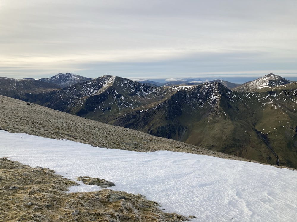
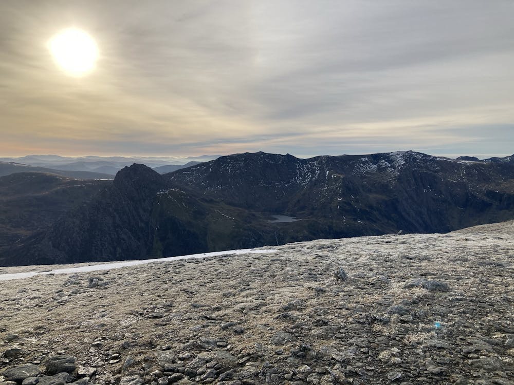
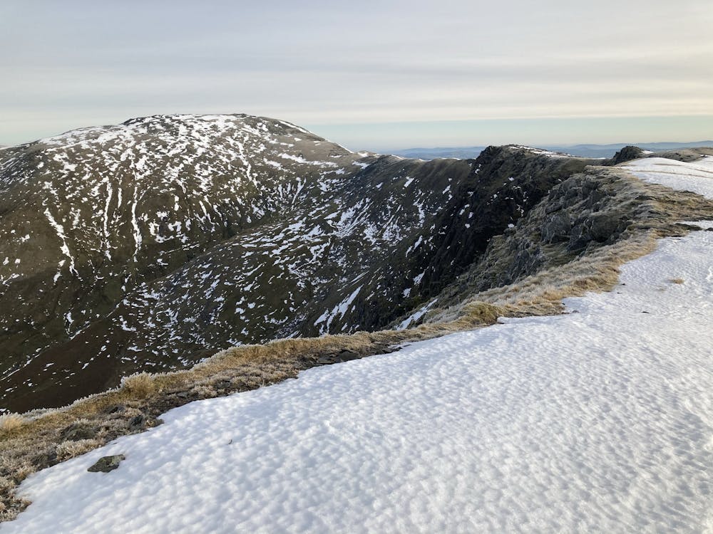
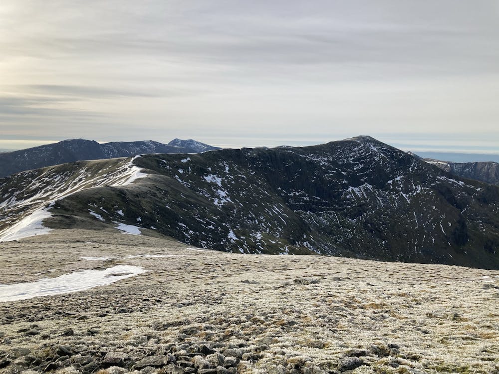
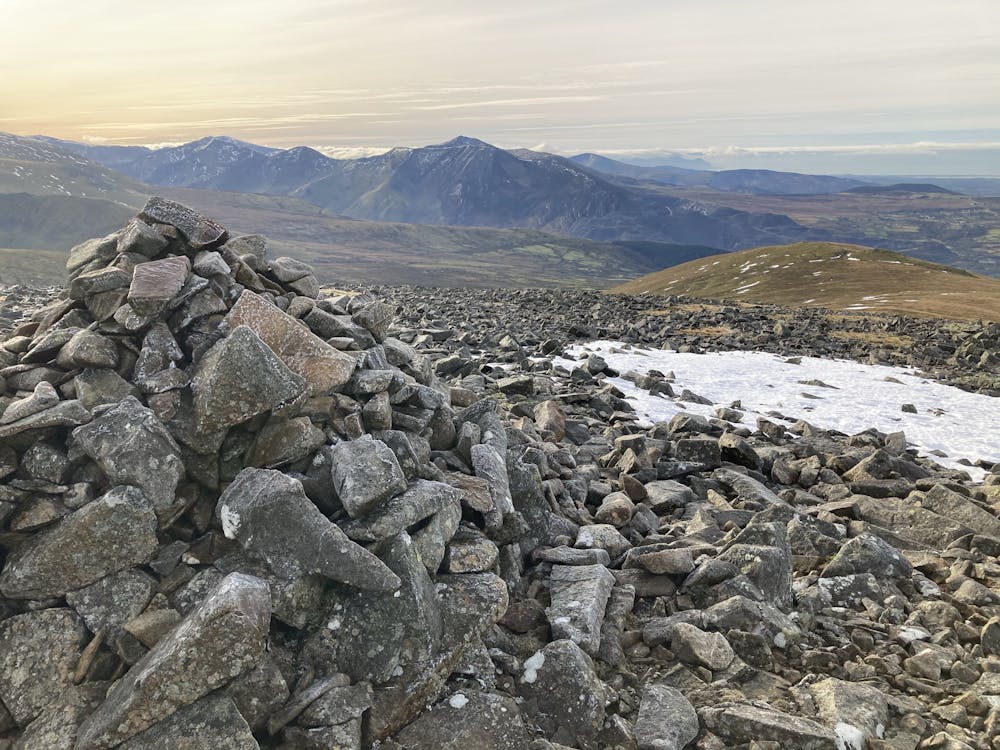
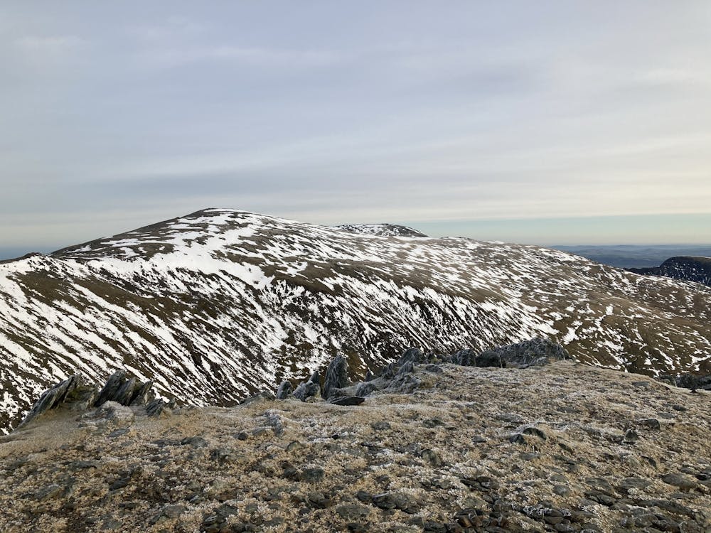
When the weather is clear there are stunning views of Northern and Central Snowdonia, Lleyn Peninsula, Ysys Mon (Anglesey), The Ormes, Northern Coastline, and Dyffryn Conwy. Also unique perspectives of Yr Wyddfa (Snowdon), Tryfan, and the Glyderau. If very clear the Wicklows in Ireland and the Isle of Man can be visible. There are atmospheric views down into Cwm Lloer, Llugwy, Caseg, Eigau, and the Ysgolion Duon (the Black Ladders). Bumping in to Carneddau Ponies and Ravens is common. The area is rich in archaeology.
Difficulty
Moderate
Medium Exposure

The trail contains some obstacles such as outcroppings and rock which could cause injury.
Remoteness
Away from help but easily accessed.