Cadair Idris Double Top
Snowdonia National Park
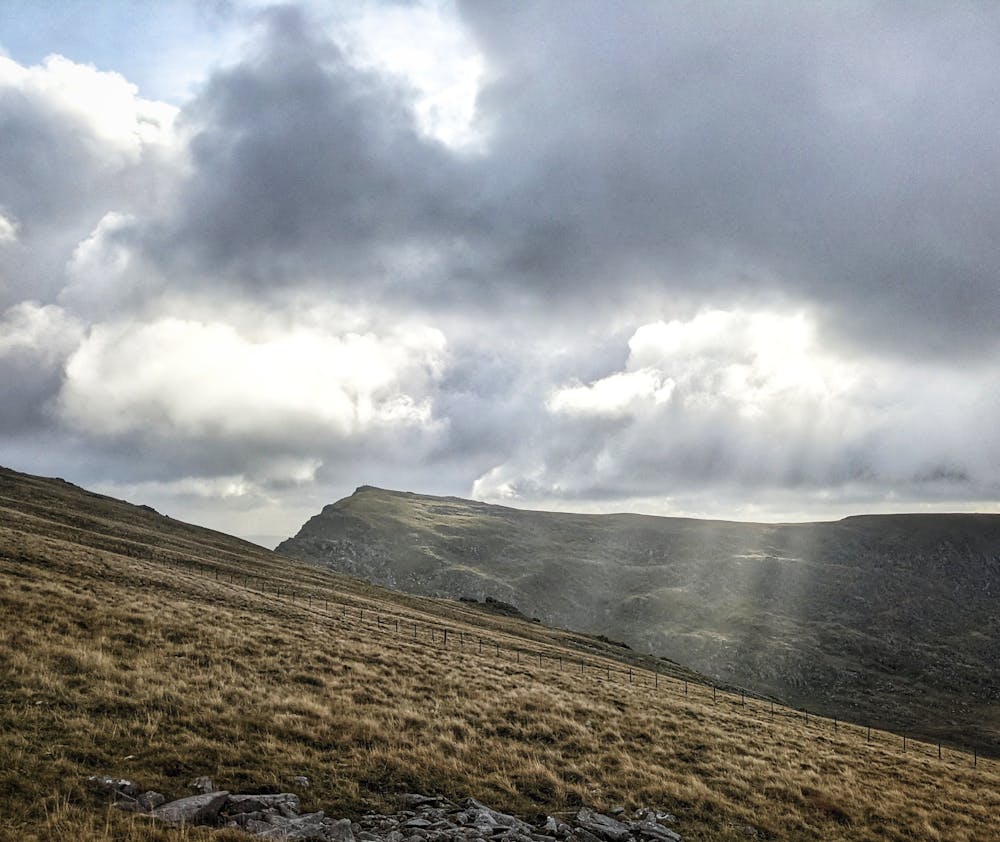
From Dolgellau, up the Pony Path, down to the Slate Bridge and back up Minfordd to Mynydd Moel
Trail Running Difficult
- Distance
- 25 km
- Ascent
- 1.6 km
- Descent
- 1.6 km
- Duration
- 4-5 hrs
- Low Point
- 9 m
- High Point
- 884 m
- Gradient
- 19˚

This is a popular trail running route which is generally considered to be difficult. It's remote, it features low exposure and is typically done all year round. From a low point of 9 m to the maximum altitude of 884 m, the route covers 25 km, 1627 vertical metres of ascent and 1625 vertical metres of descent.
Description
Cadair Idris, Double Top
Difficulty
Difficult
Low Exposure

The path is on completely flat land and potential injury is limited to falling over.
Remoteness

Away from help but easily accessed.