Dyfi ULTRA
Snowdonia National Park
A 50 MILE/80KM Ultra Marathon, with a total height gain of 3000m, along coast, trail, mountain, river and forest in south Snowdonia taking in a total of 20 peaks including the whole of the iconic ridge-line & summit of Cadair Idris. This is a challenging, stunning route, and is at times remote. Search "Dyfi Ultra" to sign up for the event.
Trail Running Severe
- Distance
- 82 km
- Ascent
- 3.3 km
- Descent
- 3.3 km
- Duration
- 1 day +
- Low Point
- 0 m
- High Point
- 877 m
- Gradient
- 13˚

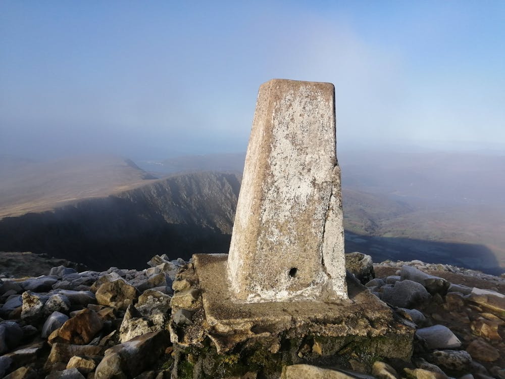
The whole of the Cadair Idris massif and ridge line, from sea to summit. Breath-taking views over the Mawwddach estuary, the Dyfi estuary & the Dysynni Valley. 20 peaks that are far from the crowds. The Welsh Coastal Path, Dyfi Forest, and the Dyfi Biosphere. The beautiful, historic fishing village of Aberdyfi and mining town of Corris. The route reaches parts of Snowdonia that few have journeyed through.
Description
Search "Dyfi Ultra" to sign up to the event.
Difficulty
Severe
Medium Exposure

The trail contains some obstacles such as outcroppings and rock which could cause injury.
Remoteness
Away from help but easily accessed.