Glasgwm
Snowdonia National Park
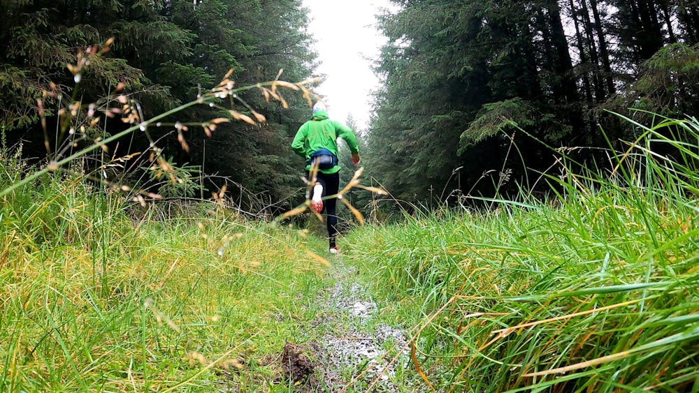
An out and back run to one of the highest lakes in Wales
Trail Running Moderate
- Distance
- 9.5 km
- Ascent
- 567 m
- Descent
- 571 m
- Duration
- 1-2 hrs
- Low Point
- 203 m
- High Point
- 773 m
- Gradient
- 15˚

This is a popular trail running route which is generally considered to be moderate. It's remote, it features low exposure and is typically done all year round. From a low point of 203 m to the maximum altitude of 773 m, the route covers 9.5 km, 567 vertical metres of ascent and 571 vertical metres of descent.
Description
A simple out and back route, with a steep finish to one of the highest lakes in Wales. Giving a different perspective on the Cadair massif
Difficulty
Moderate
Low Exposure

The path is on completely flat land and potential injury is limited to falling over.
Remoteness

Away from help but easily accessed.