Paddy Buckley Leg 3 (Snowdon)
Snowdonia
Snowdonia National Park
Snowdon leg of the Paddy Buckley Round
Trail Running Difficult
- Distance
- 20 km
- Ascent
- 1.8 km
- Descent
- 1.9 km
- Duration
- 4-5 hrs
- Low Point
- 107 m
- High Point
- 1.1 km
- Gradient
- 15˚

This is a popular trail running route which is generally considered to be difficult. It's remote, it features medium exposure and is typically done between May and September. From a low point of 107 m to the maximum altitude of 1.1 km, the route covers 20 km, 1776 vertical metres of ascent and 1861 vertical metres of descent.
- •
- •
Description
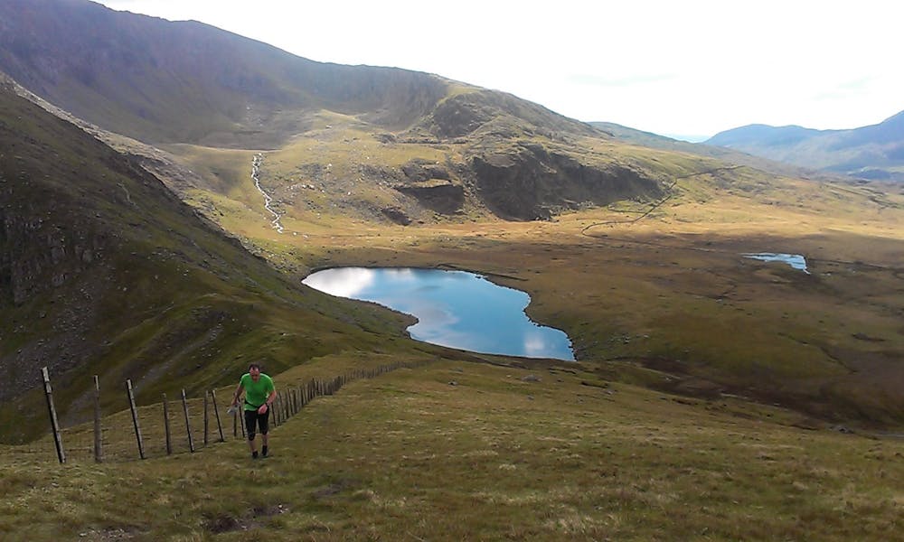
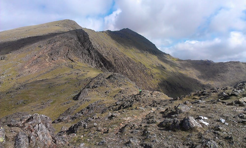
This leg climbs from Pont Cae Gors via Yr Aran to the summit of Yr Wyddfa (Snowdon). It then heads north to Carnedd Ugain then NW taking in the lesser visited summits of Moel Cynghorion, Foel Goch, Foel Gron and Moel Eilio before descending into Llanberis.
Difficulty
Difficult
Medium Exposure

The trail contains some obstacles such as outcroppings and rock which could cause injury.
Remoteness
Away from help but easily accessed.