

2.8 km away
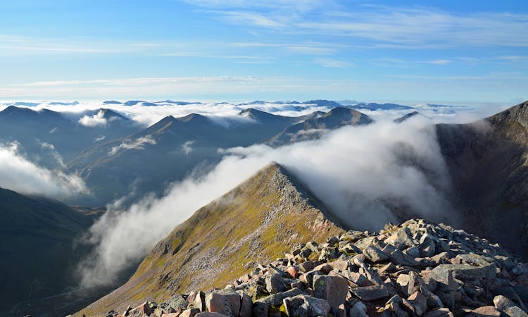
Aonach Eagach: Extended Version
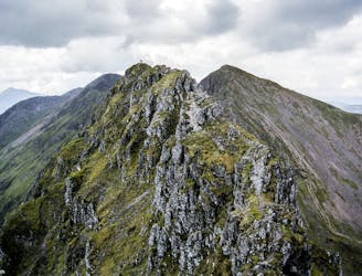
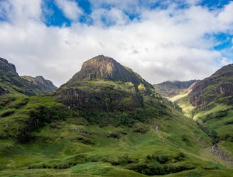
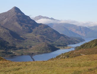
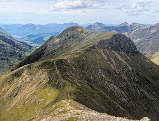
Following the spectacular serrated north wall of Glen Coe, this classic Lochaber scramble has a reputation as the gnarliest ridge traverse on the Mainland.
Extreme Hiking
- Distance
- 14 km
- Ascent
- 1.5 km
- Descent
- 1.2 km