1.6 km away
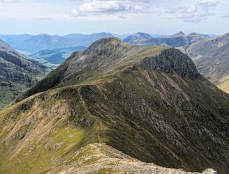
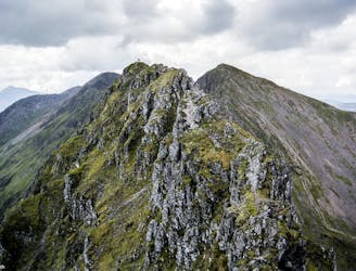
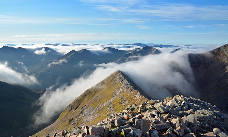
Bidean nam Bian's Three Peaks
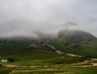
Glen Coe's highest peak, Bidean nam Bian, forms the apex of a complex and majestic massif of several sharp summits, with chiselled crests and deep-gouged corries walled by an impressive array of crags.
Extreme Hiking
- Distance
- 14 km
- Ascent
- 1.3 km
- Descent
- 1.3 km