24 m away
Beinn Alligin Traverse

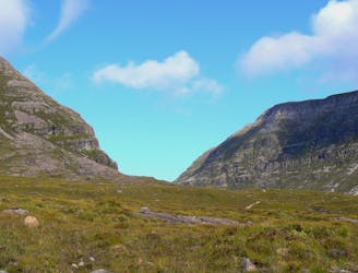
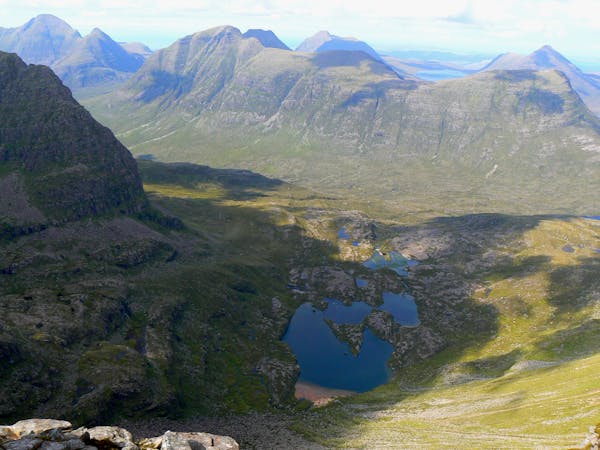
One of the true jewels of the north west, Beinn Alligin gives a stunning scrambly horseshoe that takes in two Munros and some exciting ground on the famous Horns of Na Rathanan.
Difficult Hiking
- Distance
- 10 km
- Ascent
- 1.2 km
- Descent
- 1.2 km