554 m away
Liathach
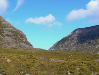
Torridon is the archetypal west coast range, and if you like your scenery on an epic scale it's unequalled.
Extreme Hiking
- Distance
- 15 km
- Ascent
- 1.3 km
- Descent
- 1.3 km
goes up 6 nice munros
Hiking Severe

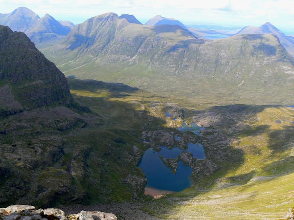
This is a popular hiking route which is generally considered to be severe. It's remote, it features high exposure and is typically done between April and October. From a low point of 0 m to the maximum altitude of 1 km, the route covers 47 km, 3657 vertical metres of ascent and 3658 vertical metres of descent.
goes up lots of pretty hills
Severe
Hiking challenging trails where simple scrambling, with the occasional use of the hands, is a distinct possibility. The trails are often filled with all manner of obstacles both small and large, and the hills are very steep. Obstacles and challenges are often unexpected and can be unpredictable.

Some trail sections have exposed ledges or steep ascents/descents where falling could cause serious injury.

Away from help but easily accessed.
554 m away
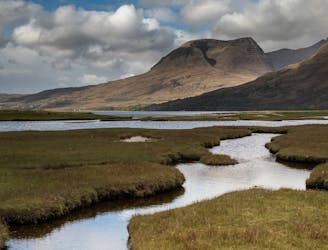
Torridon is the archetypal west coast range, and if you like your scenery on an epic scale it's unequalled.
Extreme Hiking
9 km away
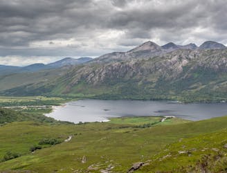
One of the true jewels of the north west, Beinn Alligin gives a stunning scrambly horseshoe that takes in two Munros and some exciting ground on the famous Horns of Na Rathanan.
Difficult Hiking
9.8 km away
Rising from the forested shores of Loch Maree, arguably Scotland's best loch, this interesting and accessible Corbett offers stunning views of the nearby Torridon and Fisherfield hills.
Moderate Hiking

9 routes · Hiking
5 routes · Mountain Biking · Hiking