Scotland Winter - Kintail - Ciste Dhubh
Scotland Winter - Kintail - Ciste Dhubh
Hiking Difficult
- Distance
- 13 km
- Ascent
- 753 m
- Descent
- 752 m
- Duration
- 3-4 hrs
- Low Point
- 217 m
- High Point
- 960 m
- Gradient
- 16˚

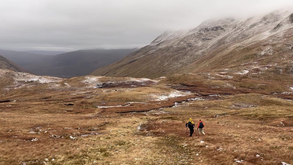
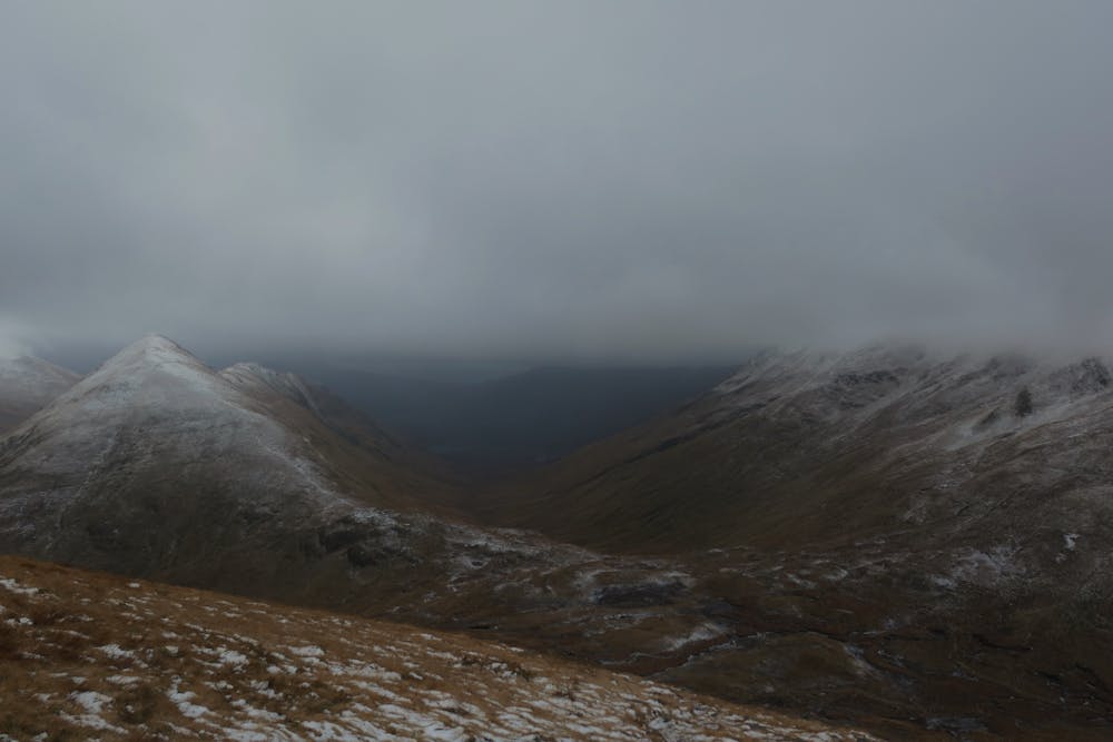
This is a popular hiking route which is generally considered to be difficult. It's remote, it features high exposure and is typically done all year round. From a low point of 217 m to the maximum altitude of 960 m, the route covers 13 km, 753 vertical metres of ascent and 752 vertical metres of descent.
- •
- •
- •
- •
- •
- •
- •
- •
- •
Description
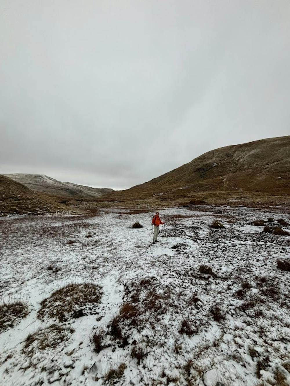
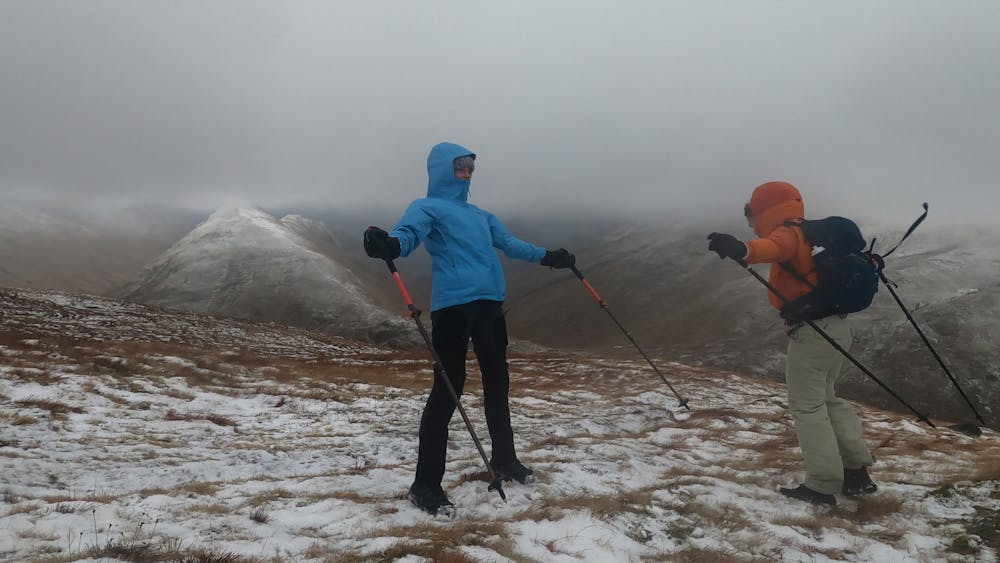
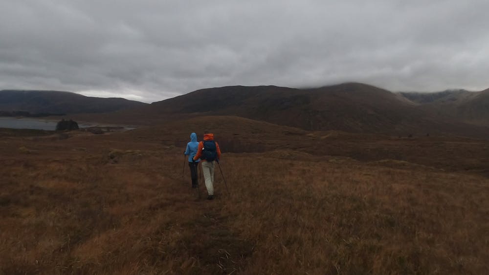
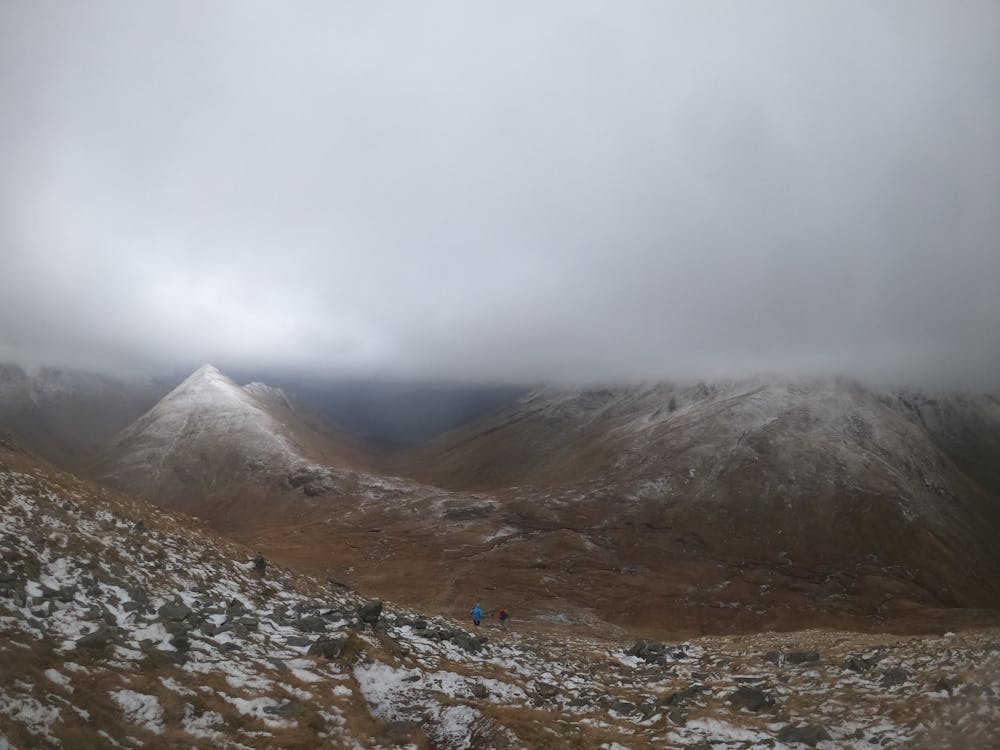
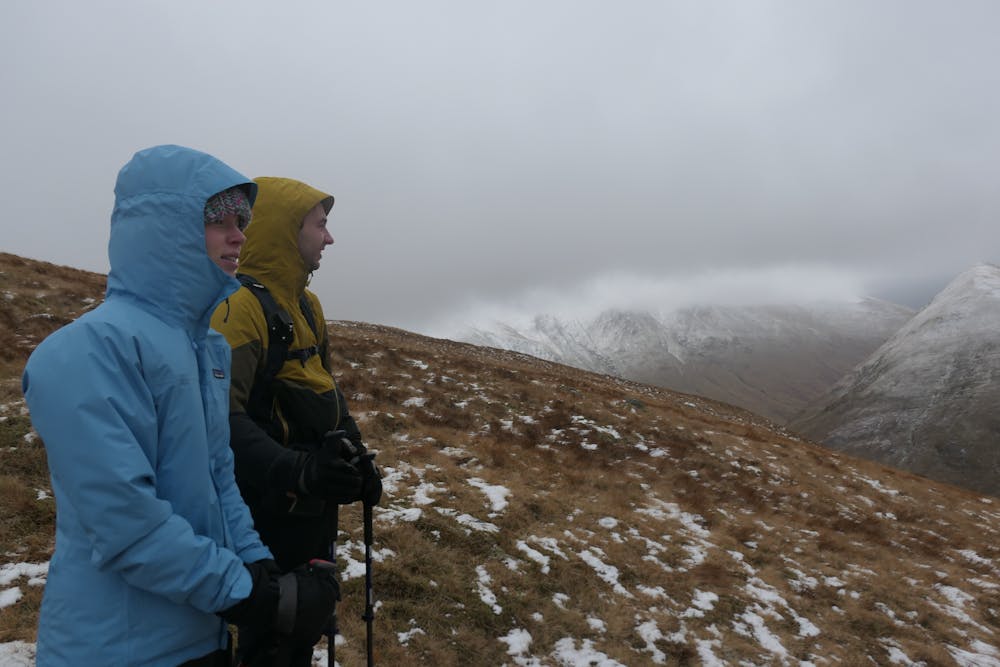
Dayhike that leads you to one peak (munro): Ciste Dhubh.
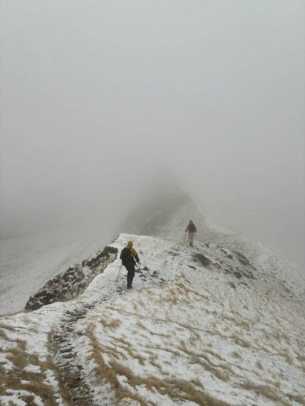
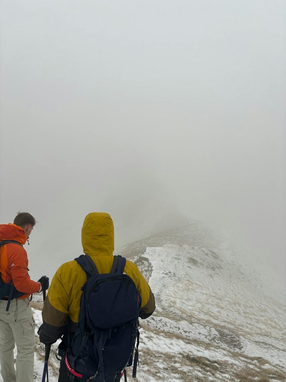
We did this in winter conditions: check weather, bring crampons and GPS! For us, this day contained strong winds (100 km/h).
Difficulty
Difficult
Hiking trails where obstacles such as rocks or roots are prevalent. Some obstacles can require care to step over or around. At times, the trail can be worn and eroded. The grade of the trail is generally quite steep, and can often lead to strenuous hiking.
High Exposure

Some trail sections have exposed ledges or steep ascents/descents where falling could cause serious injury.
Remoteness

Away from help but easily accessed.
Best time to visit
Features
- Picturesque
- Summit Hike