FATMAP by Strava

Scottish 4000ers: Cairngorms (Part 3 / 3)

Cairngorms National Park

A committing loop taking in all five Munros located in the Cairngorms National park

Hiking Difficult

Distance
35 km
Ascent
2.5 km
Descent
2.4 km
Duration
1 day +
Low Point
474 m
High Point
1.3 km
Gradient
23˚
Scottish 4000ers: Cairngorms (Part 3 / 3) Map

A committing loop of all the 4000ft+ munros in the Cairngorms including the UK’s second, third and fourth highest. Starting off from the sugabowl car park, traverse across the beautiful tundra plateau with spectacular views over Loch Morlich (which incidentally boasts the UK’s highest beach).

Description

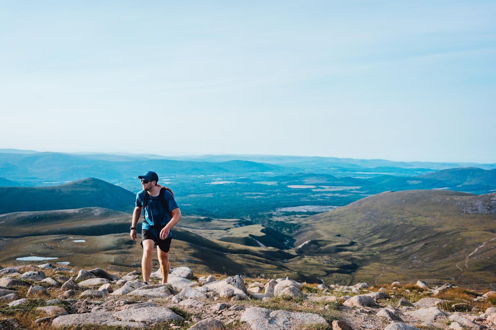
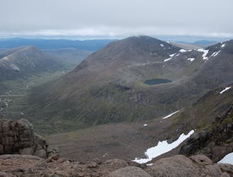
The well-maintained path gradually meanders deeper into the national park before more technical ground through Chalamain Gap and crossing the Larrig Ghru. You’ll get a bonus munro en route to Braeriach (1296m) which when reaching the summit reveals your entire route.

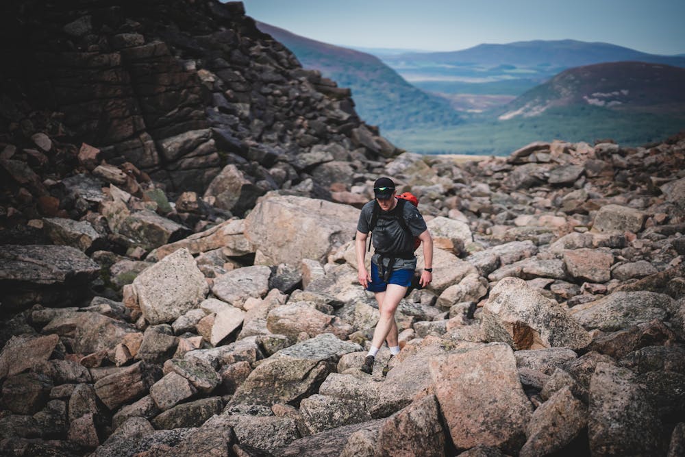
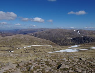
The terrain becomes intermittently challenging with large boulders and care should be taken in navigation in poor weather conditions. Now you’ll bag a few munros in quick succession and have the option to visit Devil’s point (would highly recommend) without much of a detour, before descending and going past Corour bothy. This could make for a great spot for an overnight for those looking for a more relaxed experience.

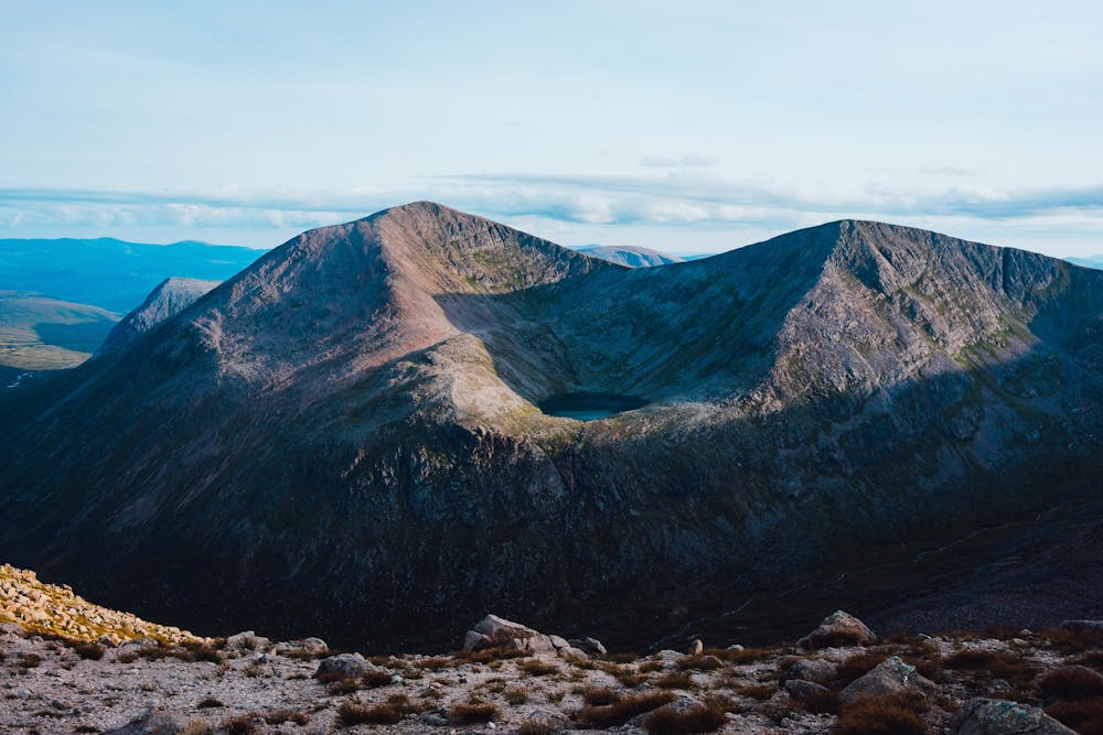
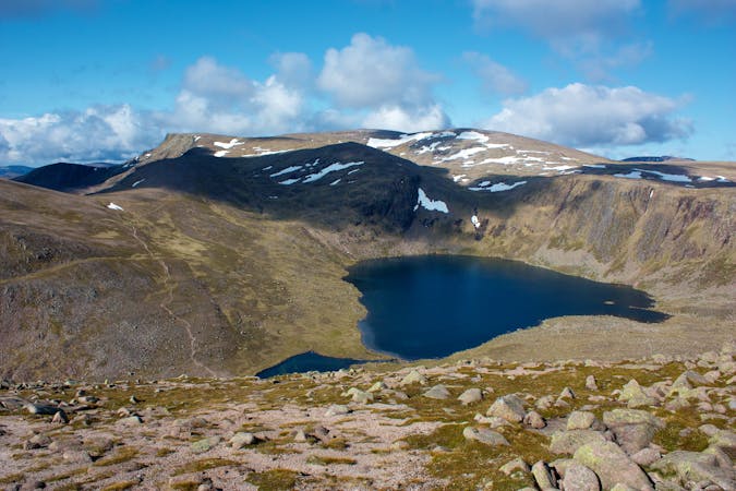
From here you’re facing a steep arduous descent up the giant, Ben Macdui (1309m) before a more relaxed hike to your ninth and final 4000er, Cairngorm (1244m). From here follow the easy descent route to the top of the funicular lift you can follow the vehicle track to the ski centre car park.

Difficulty

Difficult

Hiking trails where obstacles such as rocks or roots are prevalent. Some obstacles can require care to step over or around. At times, the trail can be worn and eroded. The grade of the trail is generally quite steep, and can often lead to strenuous hiking.

Medium Exposure

2 out of 4

The trail contains some obstacles such as outcroppings and rock which could cause injury.

Remoteness

3 out of 4

Little chance of being seen or helped in case of an accident.

Best time to visit

between April and October

Features

  • Wildlife
  • Picturesque
  • Summit Hike
  • Wild flowers

Similar routes nearby

Guidebooks in this area