1 km away
Glen Brittle Memorial Hut to the Inaccessible Pinnacle
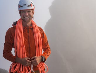
Scramble along the West Ridge of Sgùrr Dearg to visit the hardest Munro - the Inaccessible Pinnacle
Difficult Hiking
- Distance
- 7.7 km
- Ascent
- 948 m
- Descent
- 948 m
Sgurr Mhic Choinnich from Glen Brittle via Coire Lagan
Hiking Difficult

This is a popular hiking route which is generally considered to be difficult. It's remote, it features extreme exposure and is typically done between May and August. From a low point of 4 m to the maximum altitude of 911 m, the route covers 11 km, 1041 vertical metres of ascent and 1041 vertical metres of descent.
Difficult due to scree scramble out of Coire Lagan and the steep scramble at end to gain the summit, from which it is simplest to down climb afterwards. Some will choose to abseil down to avoid this down climb.
11km/950m
Difficult
Hiking trails where obstacles such as rocks or roots are prevalent. Some obstacles can require care to step over or around. At times, the trail can be worn and eroded. The grade of the trail is generally quite steep, and can often lead to strenuous hiking.

Some trail sections are extremely exposed where falling will almost certainly result in serious injury or death.

Away from help but easily accessed.
1 km away
Scramble along the West Ridge of Sgùrr Dearg to visit the hardest Munro - the Inaccessible Pinnacle
Difficult Hiking
5.4 km away
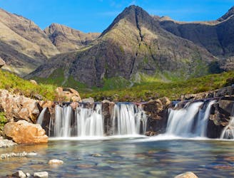
A stunning journey through some of the finest scenery in Scotland
Moderate Hiking