1.7 km away
Burma Road
Classic wild country MTB ride out of Aviemore
Moderate Mountain Biking
- Distance
- 43 km
- Ascent
- 861 m
- Descent
- 861 m
A wet, technical loop in the valley near Aviemore that runs up and down the banks of the River Feshie.
Mountain Biking Severe

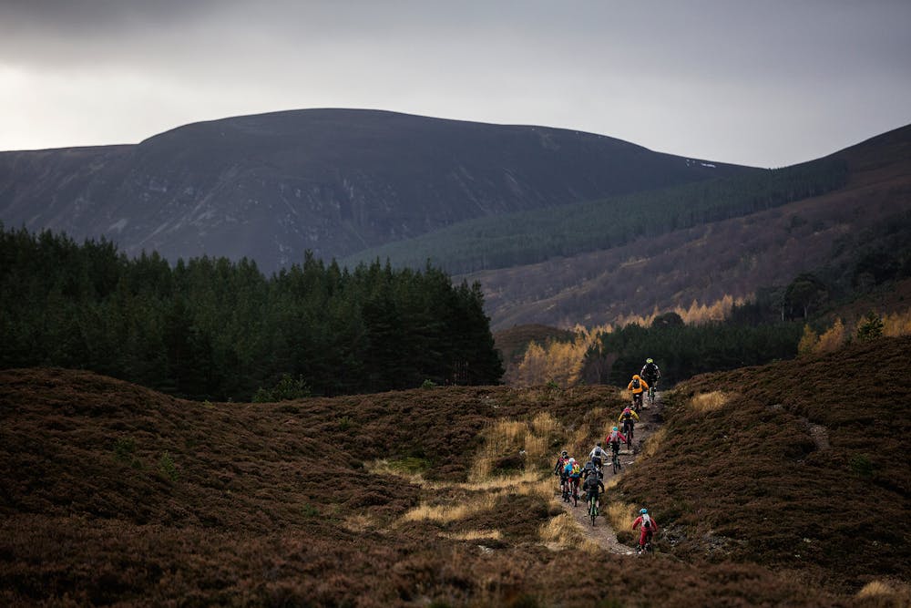
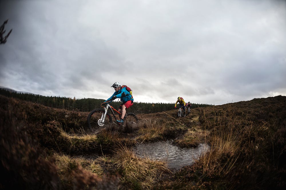
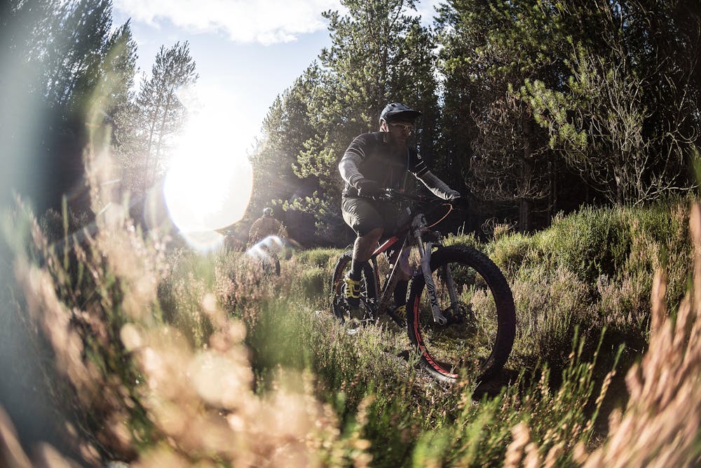
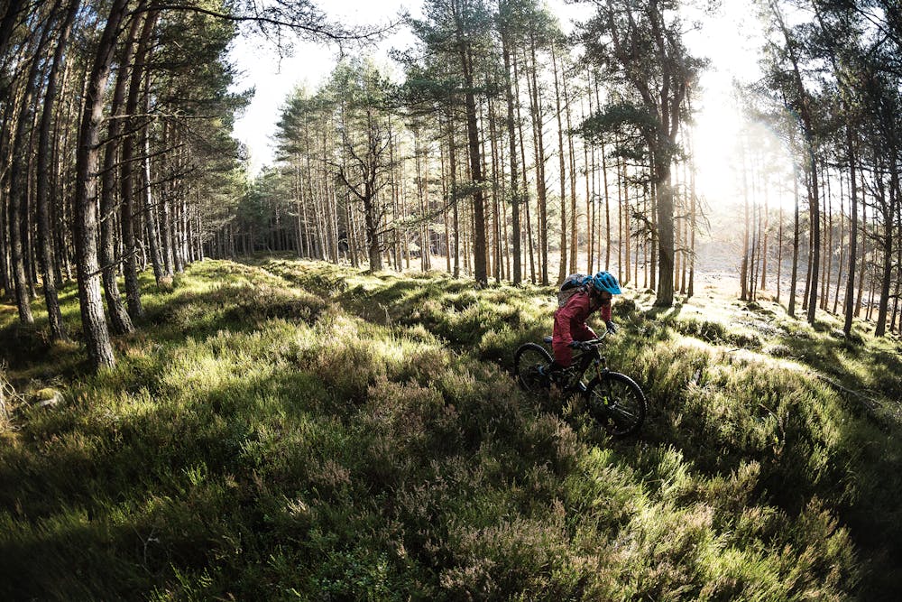
A network of old school singletrack trails spreads out in a spider web around the town of Aviemore, heading deep into the remote reaches of the Cairngorms National Park. Where some trails climb up ridiculously steep mountains, the loop mapped here stays in the valley, roughly following the River Feshie.
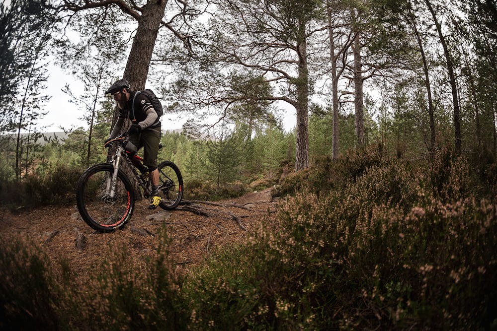
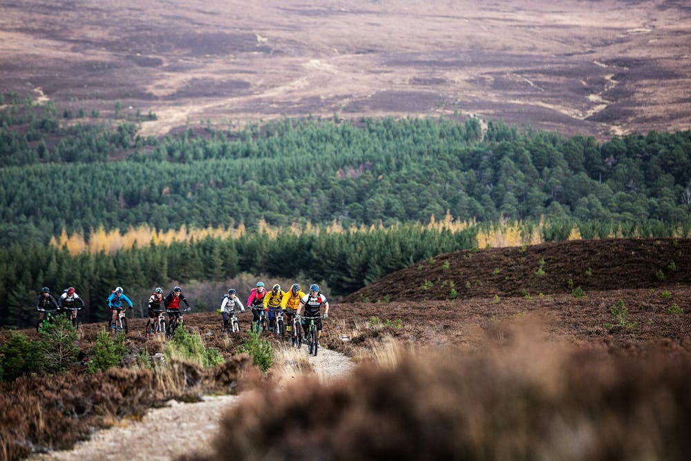
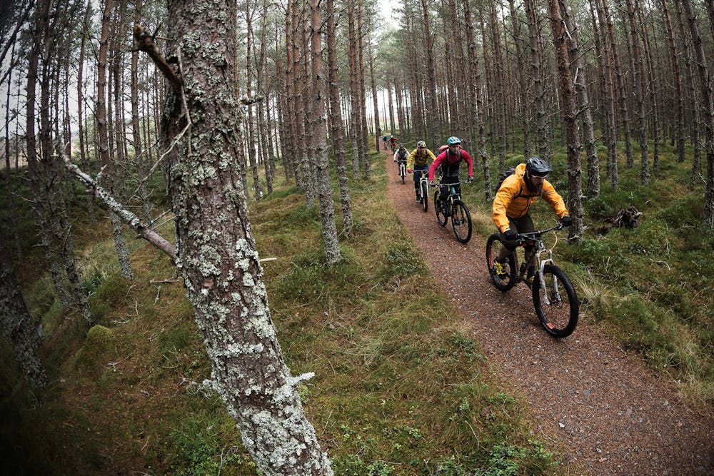
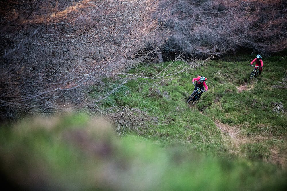
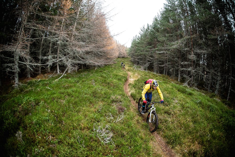
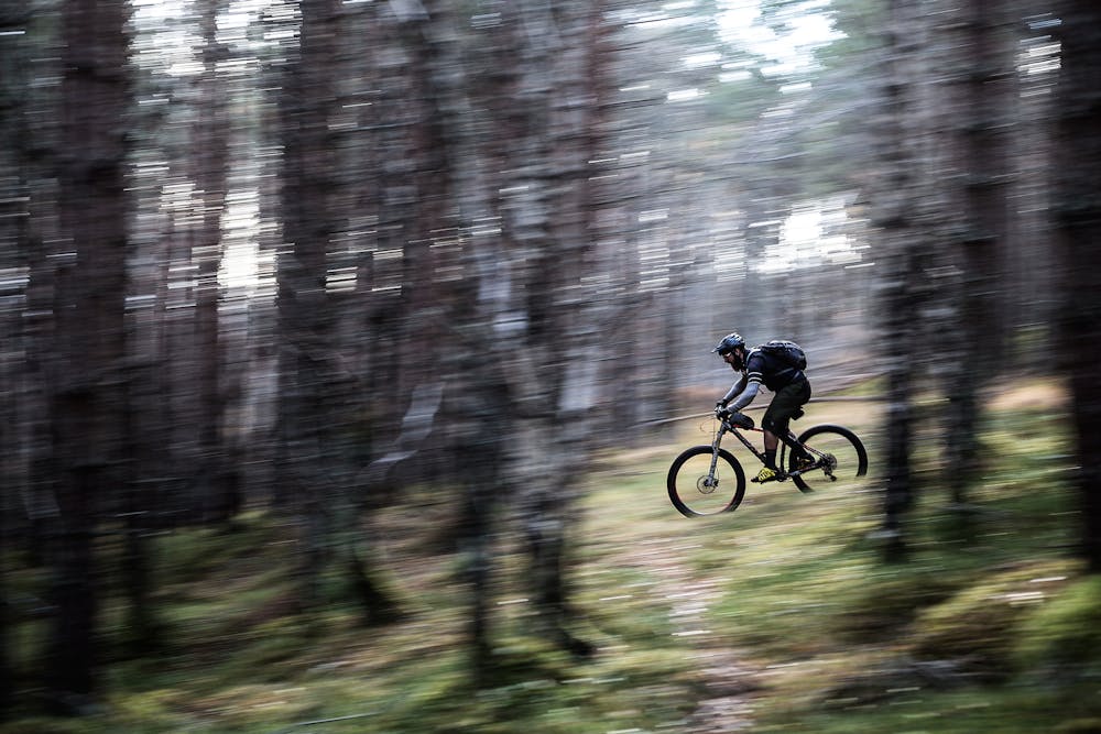
Despite staying in "flatter" terrain, this route is anything but flat. Short, steep climbs alternate with descents, the total elevation gain racking up quickly for such a "flat" ride.
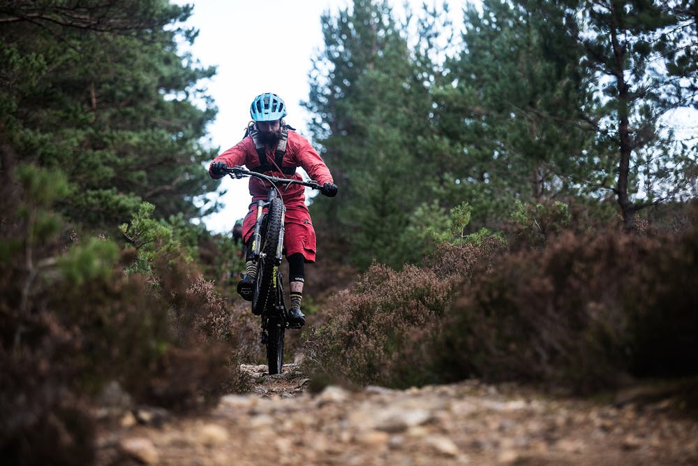
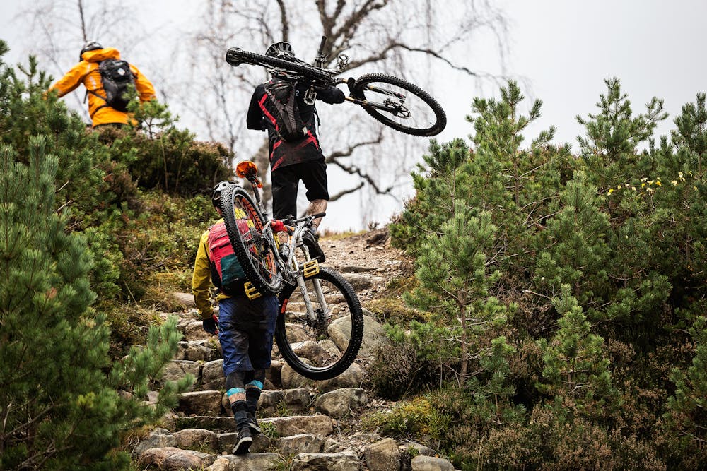
Also despite being quite flat, this route is still quite technical. A never-ending onslaught of rocks and mud-slicked roots requires riders to focus lest they wind up on the ground in a deep mud puddle.
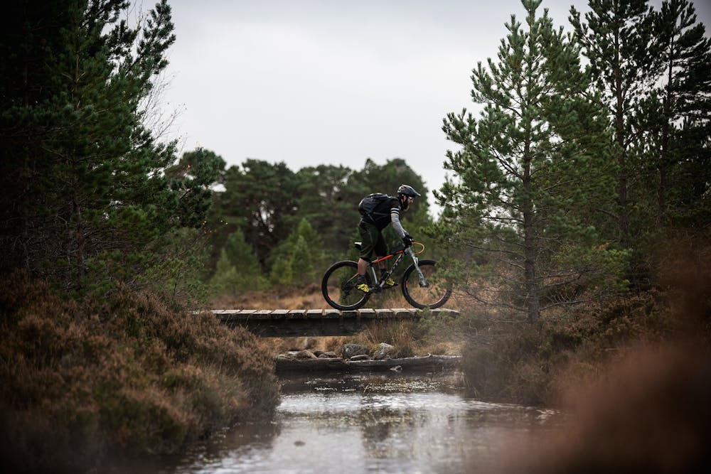
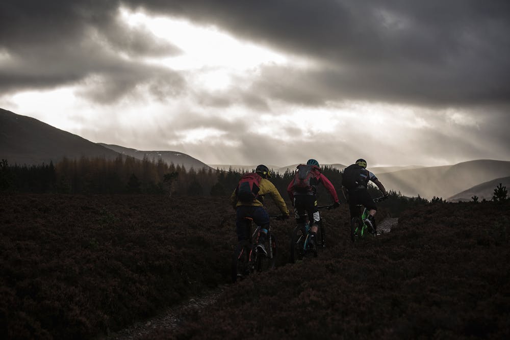
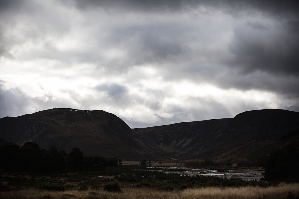
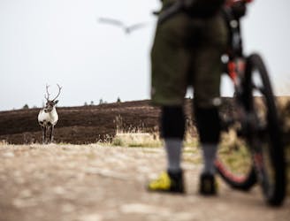
Along the way, this trail offers up incredible views of lakes such as Loch an Eilein, the River Feshie itself, and the corbetts that form a ring around the valley.
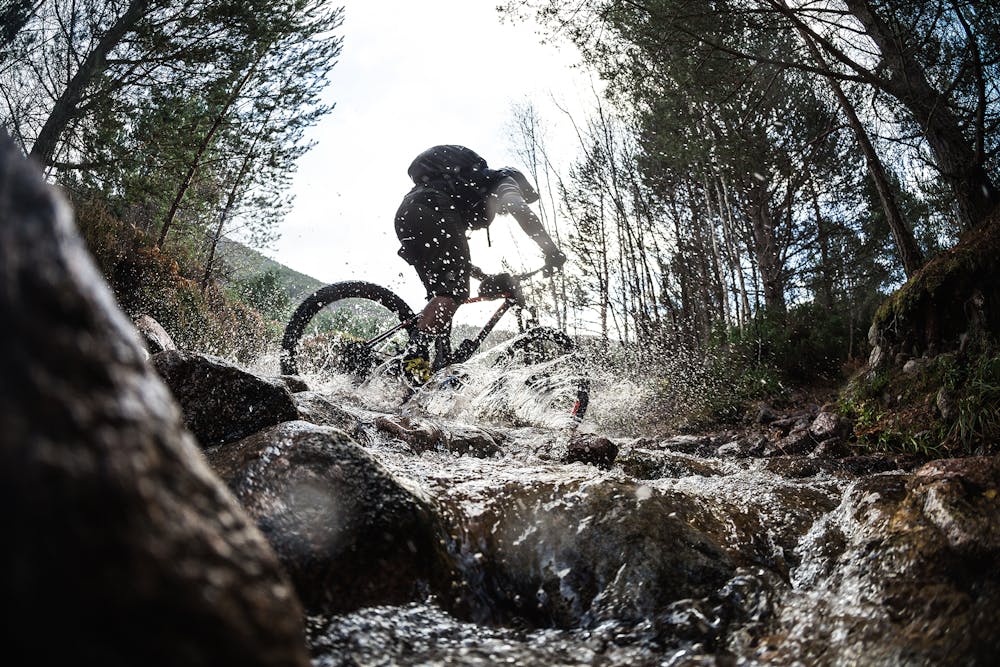
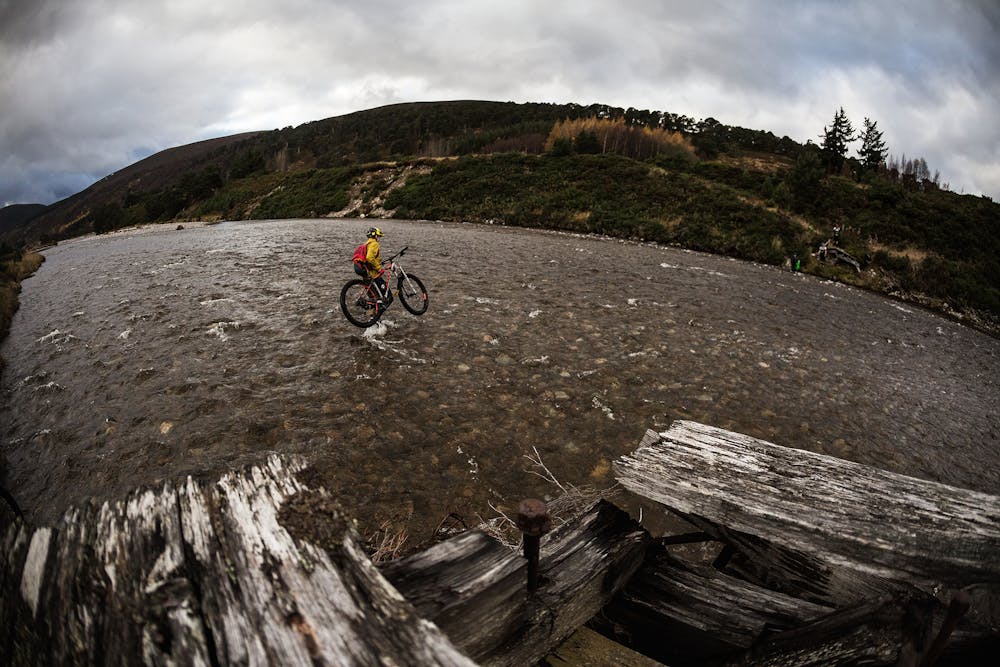
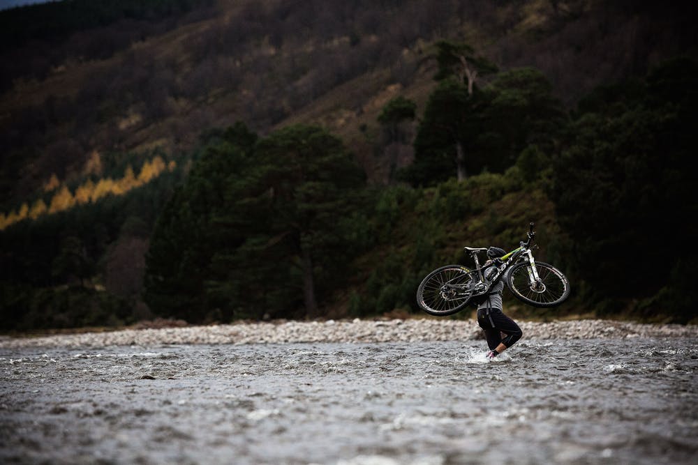
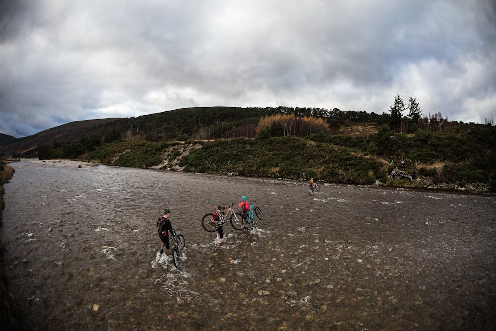
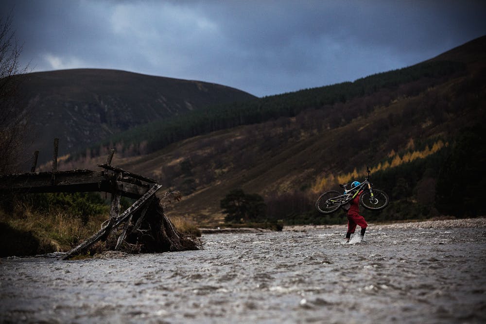
At the furthest reaches of this loop, the route has to cross the river itself. Unfortunately for you, poor rider, there are no bridges: you must wade through the frigid waters of the Feshie in order to reach the other side. Don't worry: a stiff climb will warm you right back up.
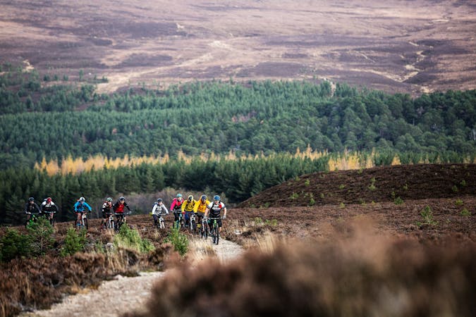
Working your way over to the opposite side of the river is well-worth the effort, as the most delectable descents are found here. Steep, fall line trails filled with mud bogs, boulder fields, and little catch berms beg you to see how far you can push the envelope despite the eternally wet conditions.
Severe
Widely variable, narrow trail tread with steeper grades and unavoidable obstacles of 15in/38cm tall or less. Obstacles may include unavoidable bridges 24in/61cm wide or less, large rocks, gravel, difficult root sections, and more. Ideal for advanced-level riders.

The trail contains some obstacles such as outcroppings and rock which could cause injury.

Little chance of being seen or helped in case of an accident.
1.7 km away
Classic wild country MTB ride out of Aviemore
Moderate Mountain Biking
7.5 km away
Climb one of Scotland's famous corbetts and rip a technical singletrack back down to town.
Severe Mountain Biking
4 routes · Mountain Biking