6 routes · Ski Touring
Summit to loch in the remote Northwest Highlands
Ski Touring Severe
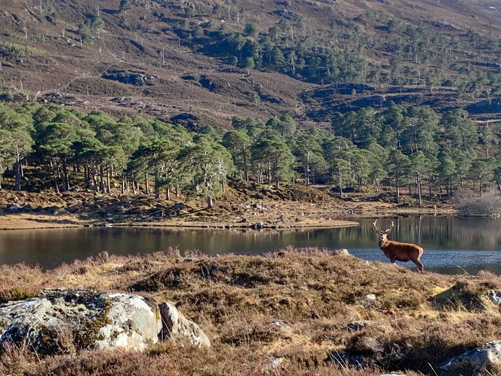
Situated on the northside of Loch Mullardoch in the remote Northwest Highlands, the steep and rocky summit of Sgurr na Lapaich can hold snow snow late into spring.

Whether you choose to access Sgurr Na Lapaich from Glen Strathfarrar to the North or via Glen Cannich/Loch Mullardoch to the south, this is an extremely remote mountain that is likely to involve several hours of walking/carrying to reach the snow line.
With no mobile phone coverage and no guarantees that there will even be skiable lines until you arrive on the summit ridge itself, a ski adventure to Sgurr Na Lapaich is only for the most committed and experienced of skiers.
If you're prepared to take all the risks that skiing in a remote place like this truly involve then you may just strike gold.
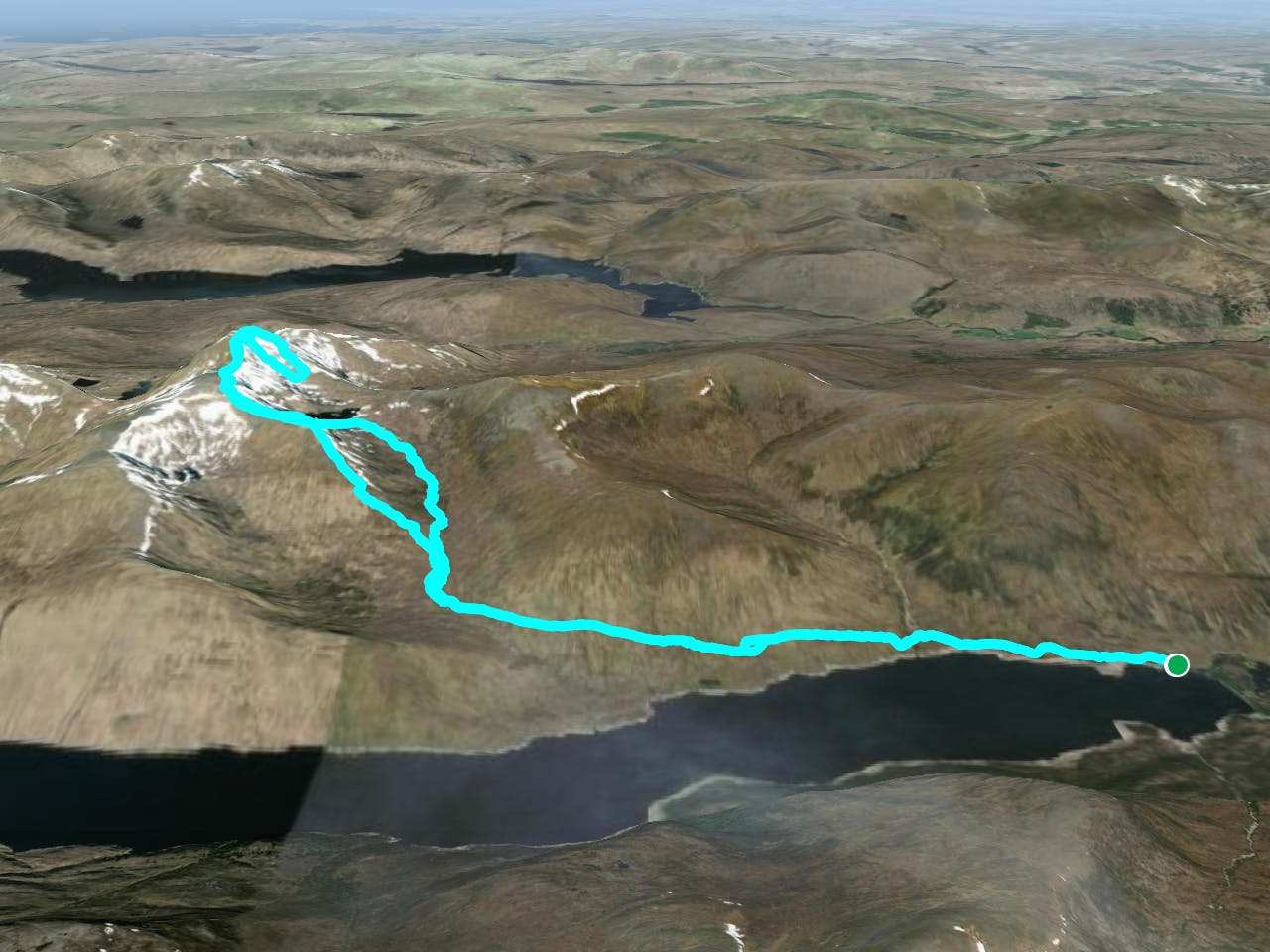
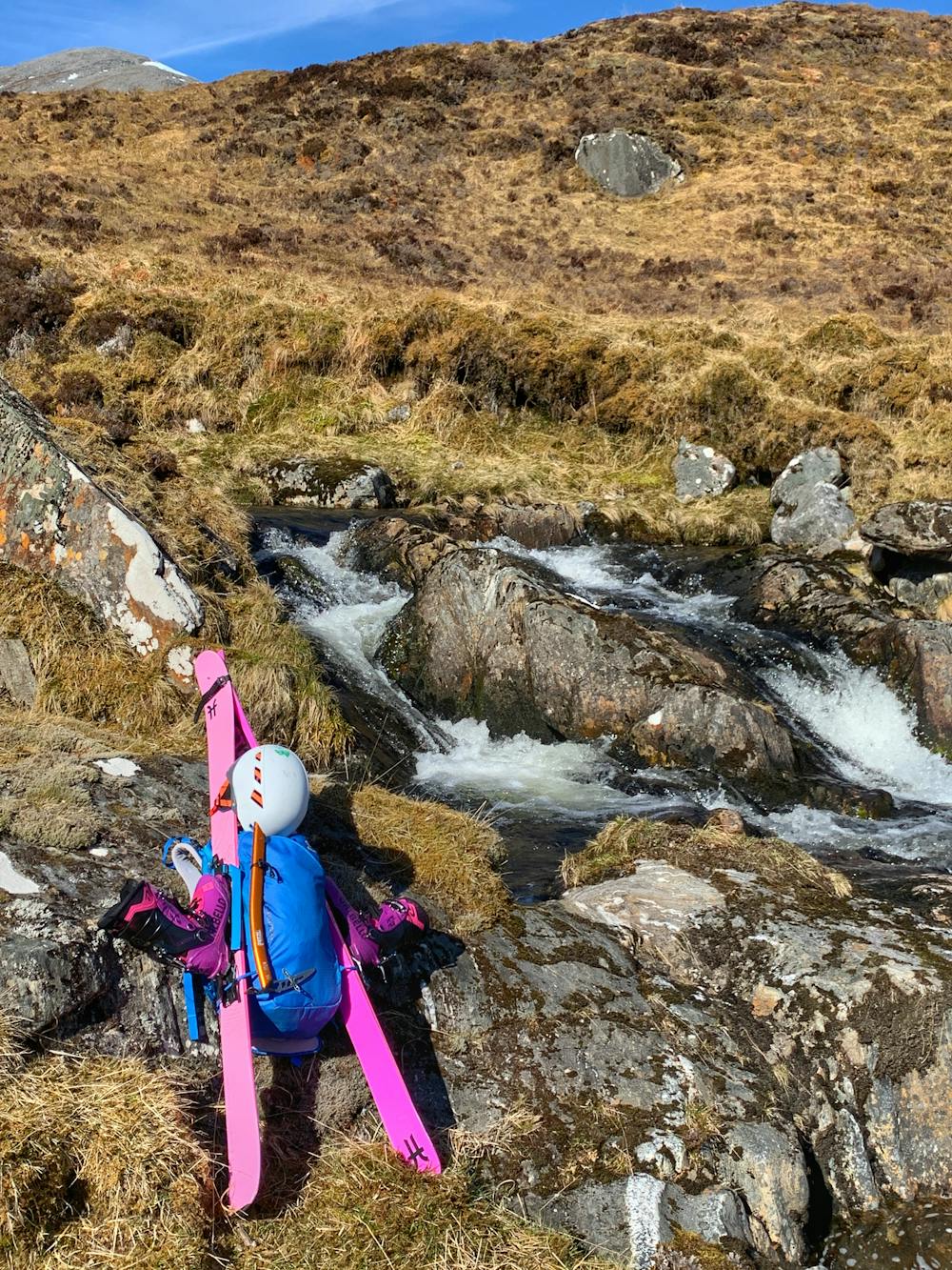
Leave your car in the signed parking area before the Loch Mullardoch dam and follow the path on the north side of the loch. After 1.5km the path splits with a track heading northwards to access Carn nan Gobhar/Creag Dubh. Ignore this path and proceed by crossing the river and continue along the muddy, wet faint path next to the loch. Be sure to bring spare socks!
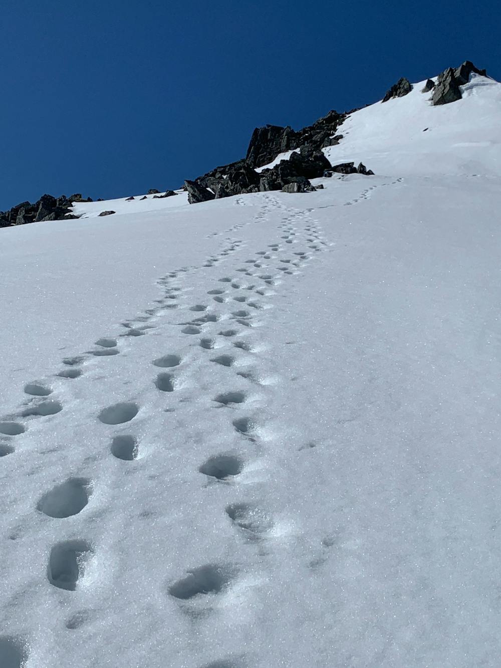
After about 2.5km the path will begin to work its way northwards into Glas Toll. Cross the bridge at the foot of the glen onto the west side of Allt Taige then make your way northwards over steepening, pathless terrain to the obvious summit of Creag a'Chaorainn at 950 meters.
At this point you will have been walking for around 3-4 hours and only now will the potential of your ski day become apparent! If you can handle that walk/ski ratio and gamble then it may well pay off big style....
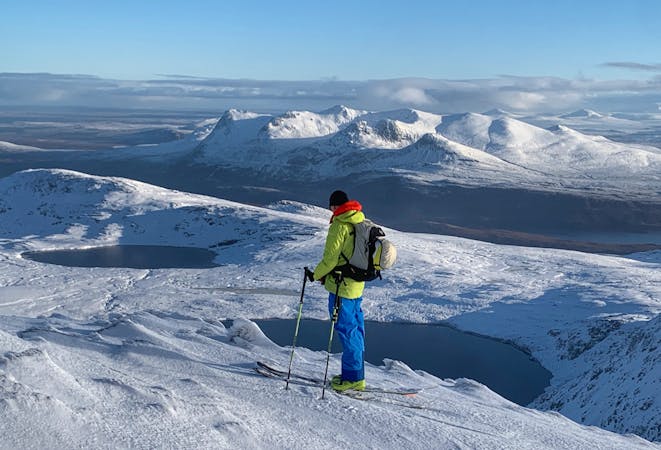
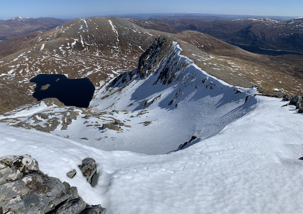
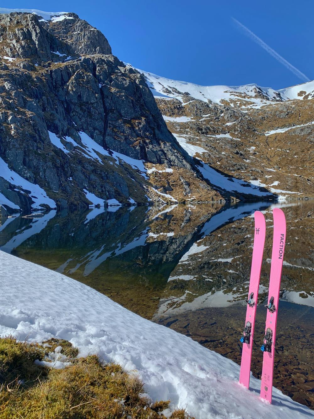
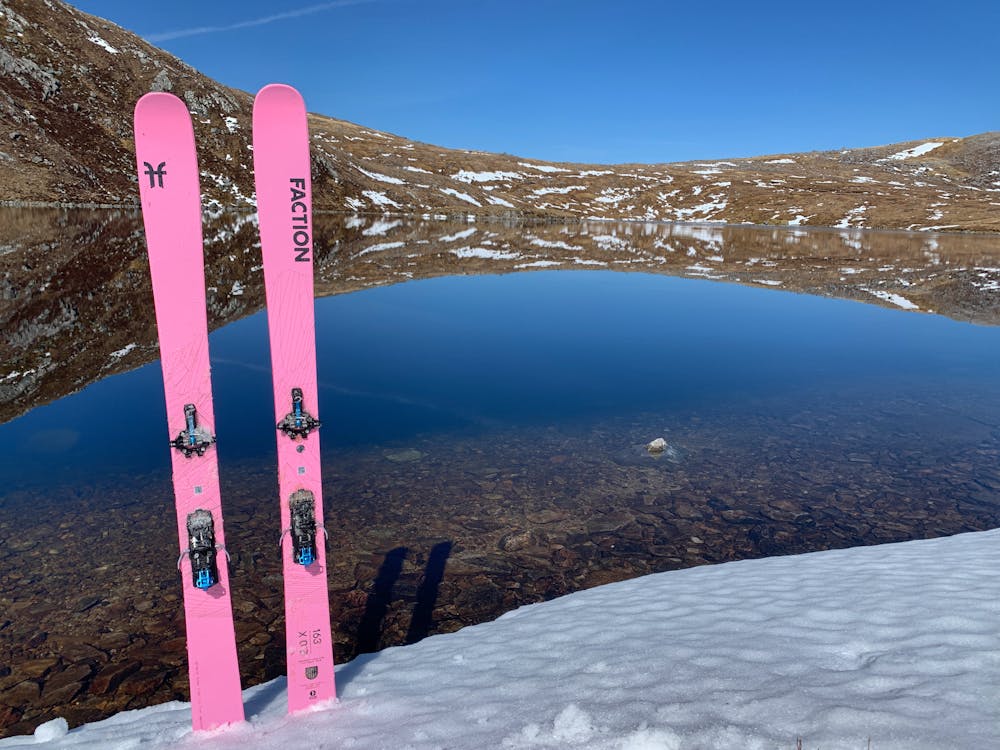
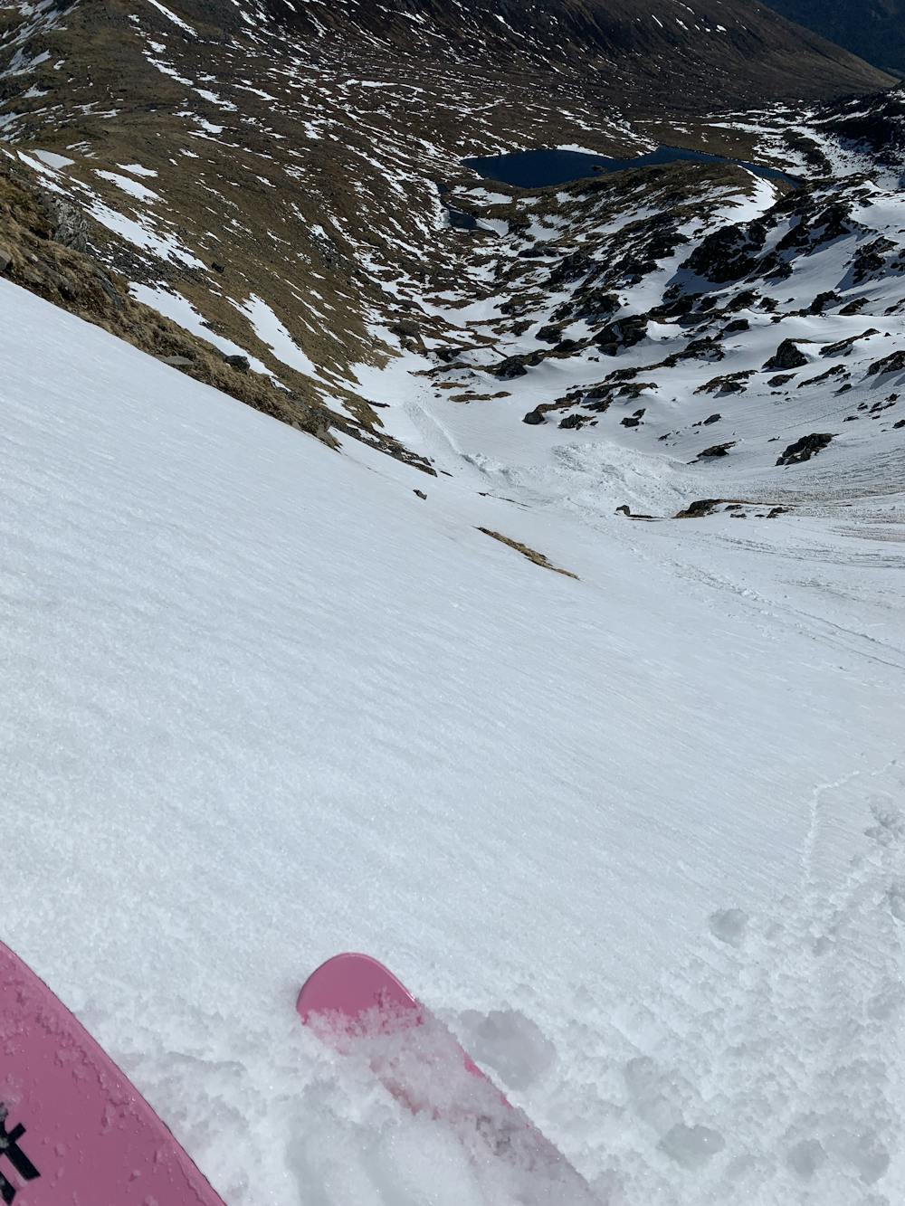
Be sure to check out the potential lines down to the loch as you make your way round the steep ridge to the summit of Sgurr Na Lapaich itself at 1150m.
The N/NE facing slopes can be pretty hard first thing so it really is a game of timing, aspect and patience.
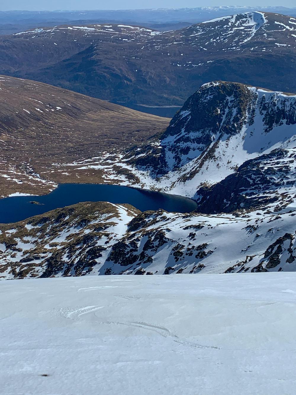
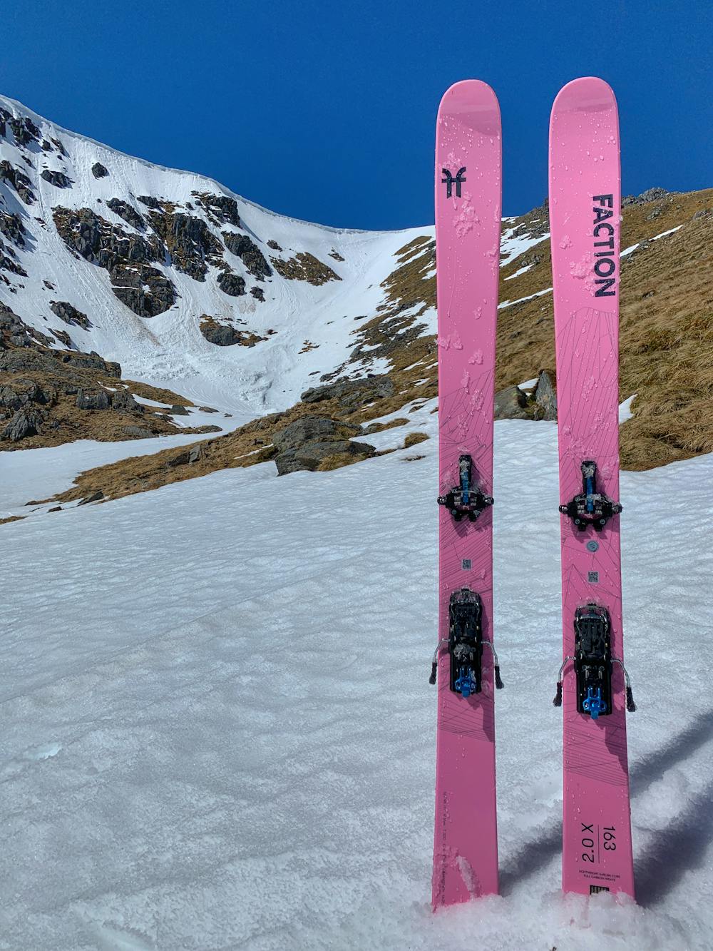
The most obvious line takes you south from the summit itself in a steep gully that leads to the NE point of Loch Tuill Bhearnach. Point of entry will be cornice dependent and may be more safely and easily accessed from skier's left off the summit.
The advantage of skiing this line first is that the S/SE facing slopes are likely to have softened in the morning sun.
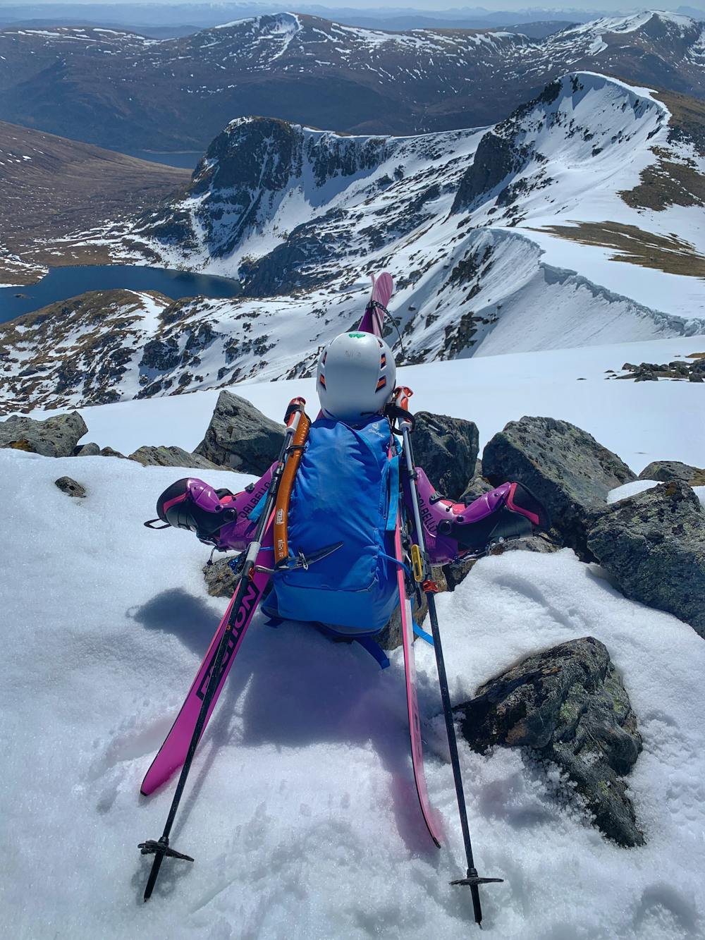
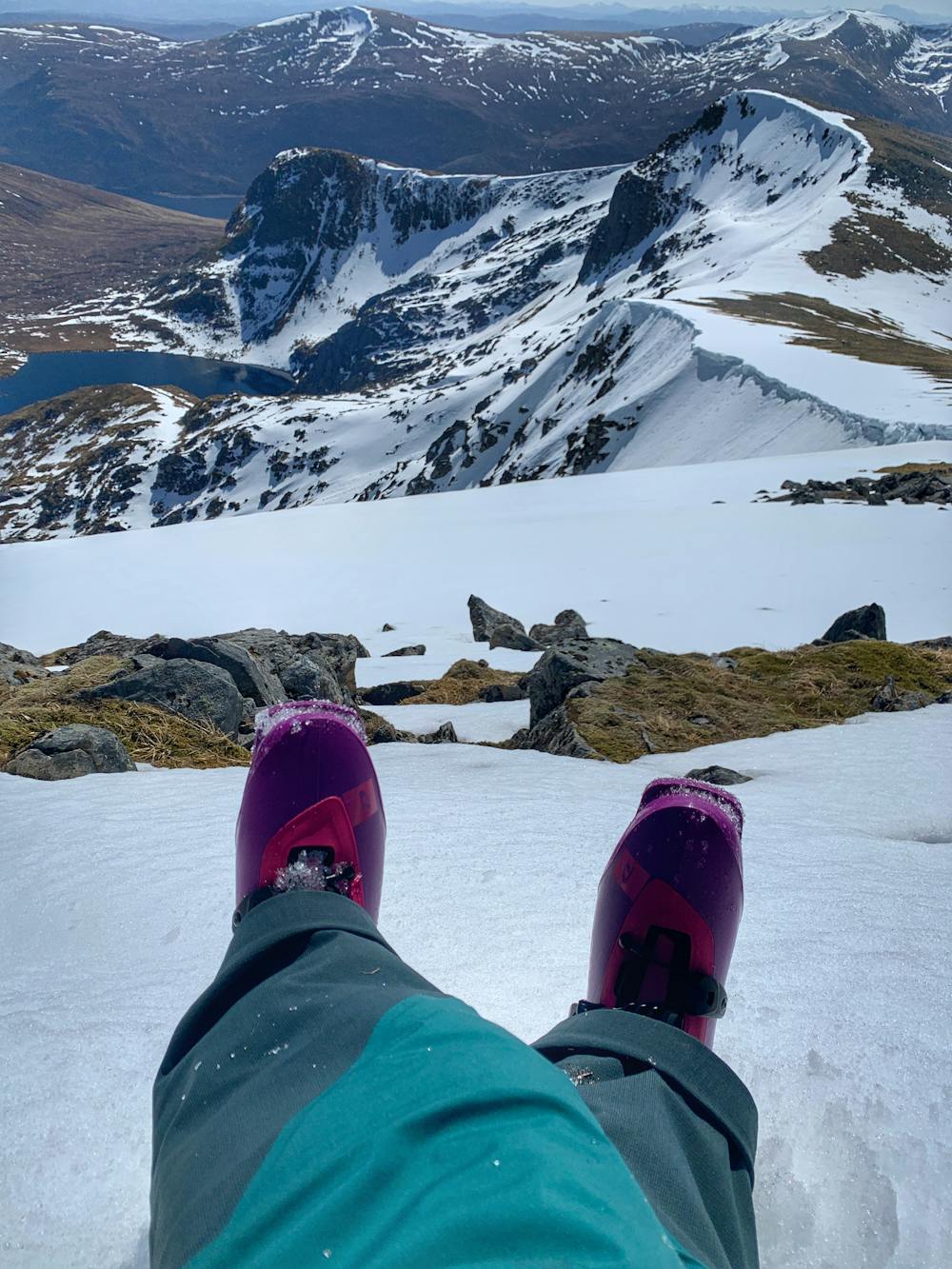
Hike back up to the summit via the ridge to the north. At this point be sure to look into Coire nan Each that lies on the north side of Sgurr Na Lapaich as it may also hold good snow.
If you're still up for more then make your way back round the ridge to Sgurr nan Clachan Geal at 1093 where if conditions allow, the E/NE facing line right down to the loch can be an absolute peach.
On a calm warm sunny day this has to be one of the most beautiful spots on the planet. Whether you choose to take a dip in the loch or simply sit on a rock in the sunshine listening to the waterfall and watching the eagles overheard, it's worth taking it all in before you begin the long hike out.
In late spring, the walk to ski ratio of this adventure will be heavily stacked in favour of the former but as Theodore Roosevelt once said, 'Nothing worth having was ever achieved without effort'.
Just be sure you have the necessary steep skiing experience and equipment, wilderness and navigation skills, self-reliance, and snacks to execute the journey!
Severe
Steep skiing at 38-45 degrees. This requires very good technique and the risk of falling has serious consequences.

In case of a fall, death is highly likely.

In the high mountains or remote conditions, all individuals must be completely autonomous in every situation.
6 routes · Ski Touring