178 m away
Sgùrr nan Clach Geala
A remote and magnificent mountain in the Fannichs
Difficult Ski Touring
- Distance
- 17 km
- Ascent
- 914 m
- Descent
- 914 m
Four of the Fannich's in one big push!
Ski Touring Moderate

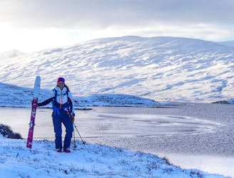
Park in the small car park on the side of the A832. Start down the double track before breaking your own skin track next to Loch a'Bhraoin.

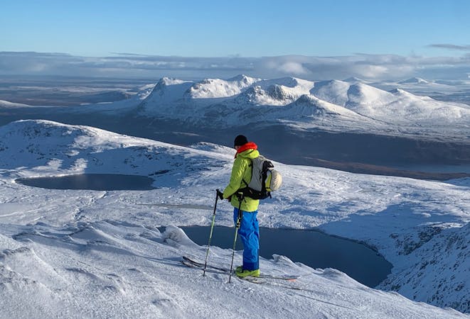
Once onto the ridge of A' Chailleach, Toman Còinnich and Sgùrr Breac you have multiple options of shortening or extending your route. The shortest option being cutting back down the valley having dropped off Sgùrr Breac, but note that this is still tough going.
Whichever option is chosen, the pull back along the valley to pick up your outward skin tracks near the head of Loch a'Bhraoin is not a straight forward skin, especially in the notoriously unpredictable snow conditions. Although not technically difficult at any stage this is still a strenuous day out.
Moderate
Slopes become slightly steeper at around 25-30 degrees.

As well as the slope itself, there are some obstacles (such as rock outcrops) which could aggravate injury.

Little chance of being seen or helped in case of an accident.
178 m away
A remote and magnificent mountain in the Fannichs
Difficult Ski Touring
6 routes · Ski Touring