
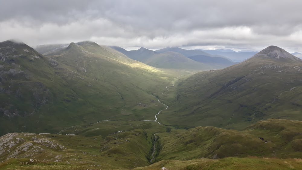
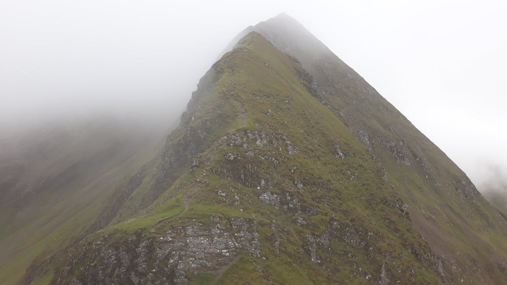
This is a popular trail running route which is generally considered to be severe. It's very remote, it features high exposure and is typically done between May and September. From a low point of 9 m to the maximum altitude of 1.1 km, the route covers 29 km, 2539 vertical metres of ascent and 2539 vertical metres of descent.
- •
- •
- •
- •
Description
A tough day out in the fantastic Scottish mountains - the classic Ring of Steall but with extra distance and climb from Kinlochleven.
Difficulty
Severe
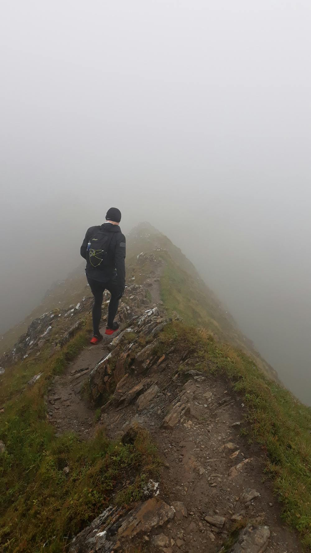
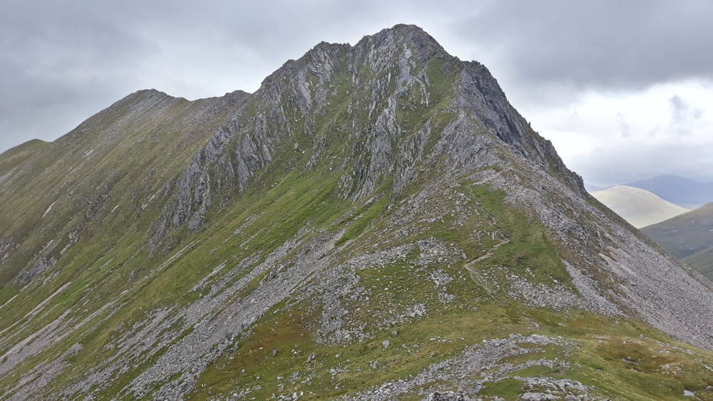
High Exposure

Some trail sections have exposed ledges or steep ascents/descents where falling could cause serious injury.
Remoteness
Little chance of being seen or helped in case of an accident.