42 m away
Ben Lawers - north east face
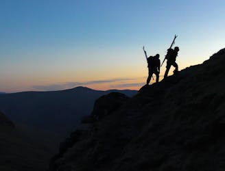
Skiing on one of Scotland's 10 highest peaks with beautiful panoramic views
Severe Ski Touring
- Distance
- 13 km
- Ascent
- 1.1 km
- Descent
- 1.1 km
NE of Meall Corranaich and SW Ben Lawers. Ski/Hike out to road
Ski Touring Difficult

This is a popular ski touring route which is generally considered to be difficult. It's remote, it features medium exposure (e2) and is typically done between December and March. From a low point of 416 m to the maximum altitude of 1.2 km, the route covers 14 km, 1114 vertical metres of ascent and 1108 vertical metres of descent. It's graded 4.1 and Labande grade 4. You'll need skins, ice axe and crampons to complete it safely.
Ski tour up the road. Mellow ascent from the loch up to Meall Corranaich peak. Ski into valley NE towards Ben Lawers. Transition and skin to Ben Lawers and ski back down and out of the saddle to connect to the main trail back to road.
Difficult
Serious gradient of 30-38 degrees where a real risk of slipping exists.

As well as the slope itself, there are some obstacles (such as rock outcrops) which could aggravate injury.
Away from help but easily accessed.
42 m away
Skiing on one of Scotland's 10 highest peaks with beautiful panoramic views
Severe Ski Touring