7.9 km away
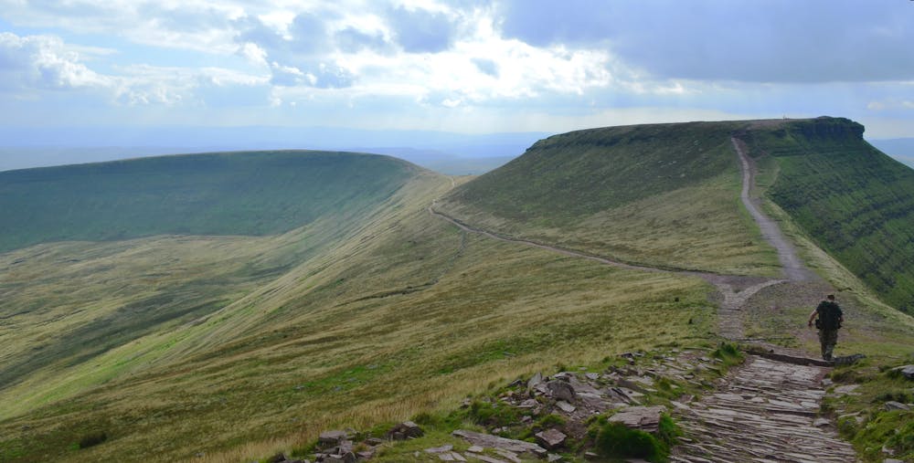
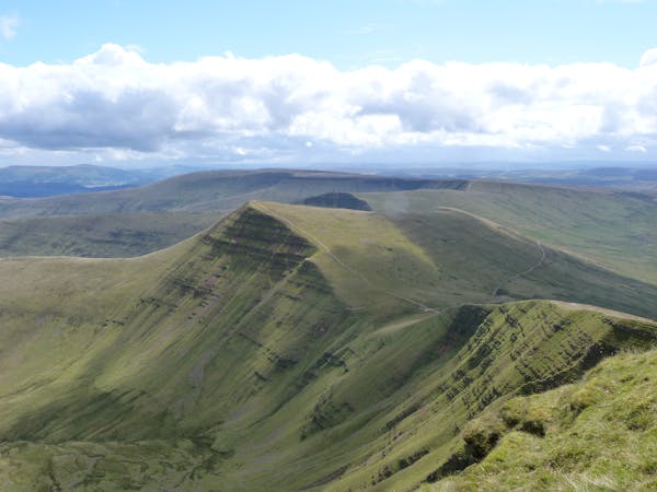
Corn Du, Pen y Fan and Cribin Circular
A day out on mainly easy-to-follow paths that takes in the highest (and most popular) summits in south Wales.
Moderate Hiking
- Distance
- 13 km
- Ascent
- 651 m
- Descent
- 648 m
Simple walk along the Brecon Beacons.
Hiking Moderate

A walk from Aber, all the way over to the A470, taking in all the high points on the way, marked on the OS map, in total 11 'summits'. Note that due to the length of the route, two vehicles would be best suited, one at the end, and one at the beginning, unless trail running, where all summits could be attained and a reversal of the route would be possible in daylight hours.
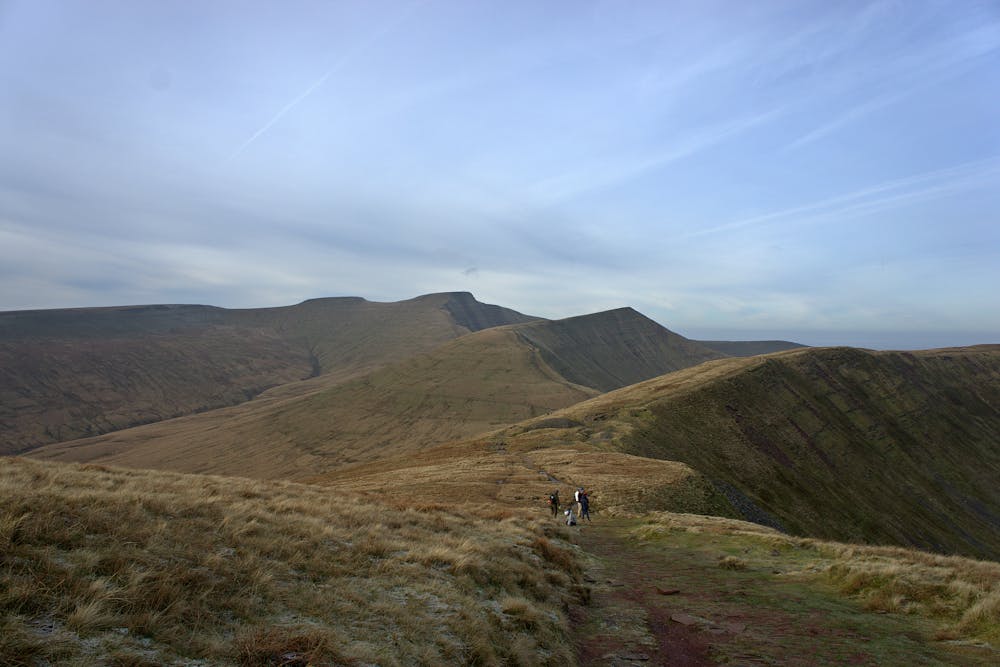
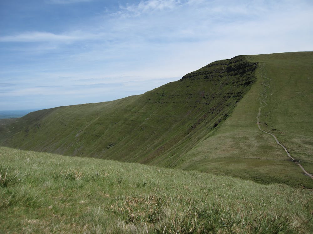
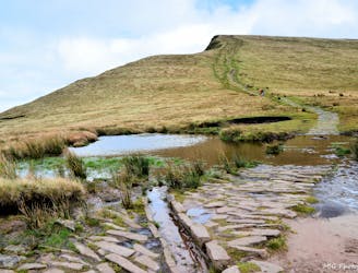
Aber marks the starting point. Follow the path upwards to reach the first summit along the path and continue along to the next summit. Bear left along the top, via a ridgeline to Allt Lwyd, taking in the scenery, then come back along the same ridge. Travel along to another small summit along the plateau, leading to the summit of Waun Rhydd. Join the path to the summit of Blwych Y Ddwyallt. Continue along the top path to reach Fan y Big.
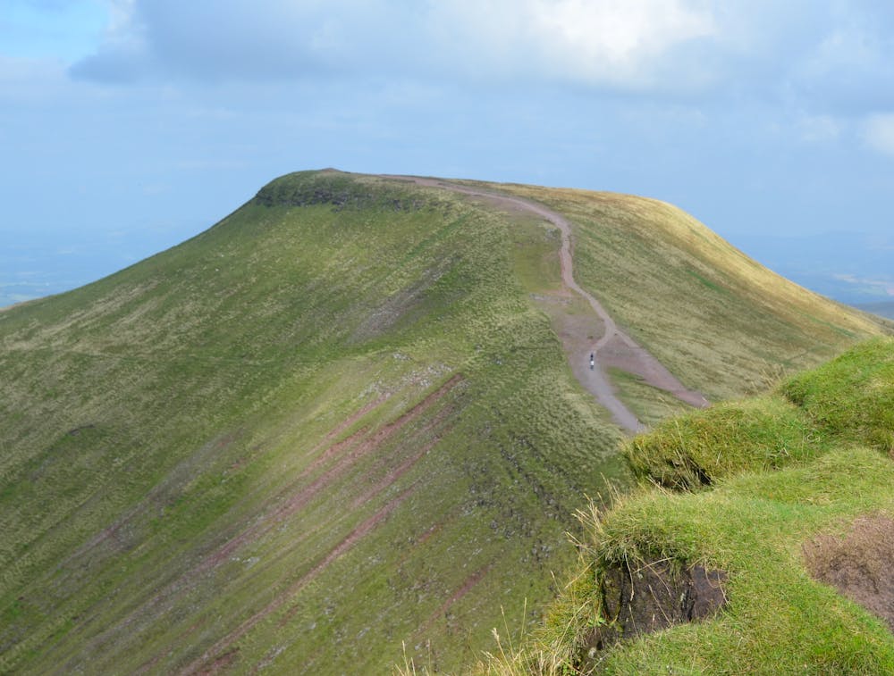
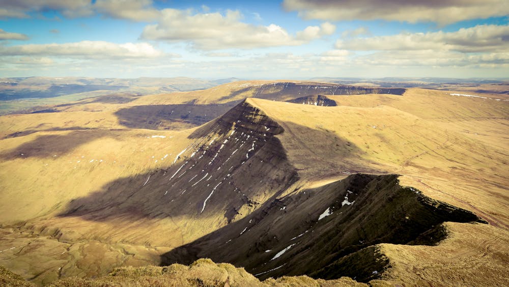
Travel down from Fan y Big, then go up again to Y Cribyn, continuing along the well trodden footpath. Continue onwards to Pen Y Fan - the tallest summit which offers great picnic and photo opportunities provided it's not too windy or wet. Continue to Corn Ddu, then down the back of the summit (or around the easier path if required) passing the Obelisk, curving left on the path. This leads to the final summit, Y Gyrn. Carry on along the path, which eventually leads to the car park near the Storey Arms.
© Matthew Edwards - UKHillwalking.com, Feb 2012
Moderate
Hiking along trails with some uneven terrain and small hills. Small rocks and roots may be present.
7.9 km away
A day out on mainly easy-to-follow paths that takes in the highest (and most popular) summits in south Wales.
Moderate Hiking
7 routes · Mountain Biking · Hiking