

9.6 km away
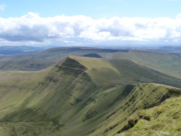
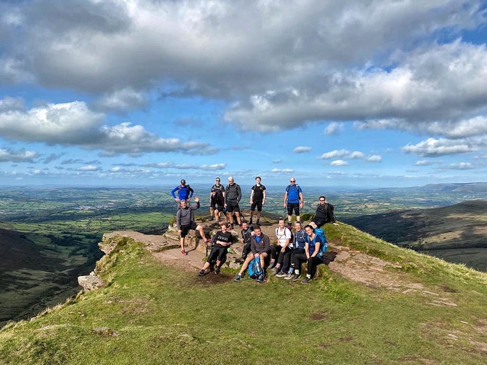
Central Peaks of the Brecon Beacons
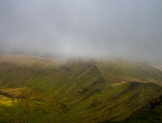
A high level mountain walk from the Storey Arms on the A470 onto the highest mountain (Pen-y-Fan 886 metres) in southern Britain for views, weather permitting, of the Usk Valley to the north and the valleys of the south wales coal fields to the south.
Moderate Hiking
- Distance
- 17 km
- Ascent
- 927 m
- Descent
- 930 m