499 m away
Bushy Park 5-Mile Circular Route
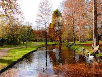
Explore one of London’s eight Royal parks, famed for its roaming herds of red and fallow deer.
Easy Hiking
- Distance
- 8.7 km
- Ascent
- 17 m
- Descent
- 17 m
This walk links the Thames Path and North Downs Way National Trails.
Also in Surrey, United Kingdom
Hiking Difficult

This is a popular hiking route which is generally considered to be difficult. It's an unknown remoteness, it features unknown exposure and is typically done in an unknown time of year. From a low point of 8 m to the maximum altitude of 146 m, the route covers 24 km, 329 vertical metres of ascent and 289 vertical metres of descent.
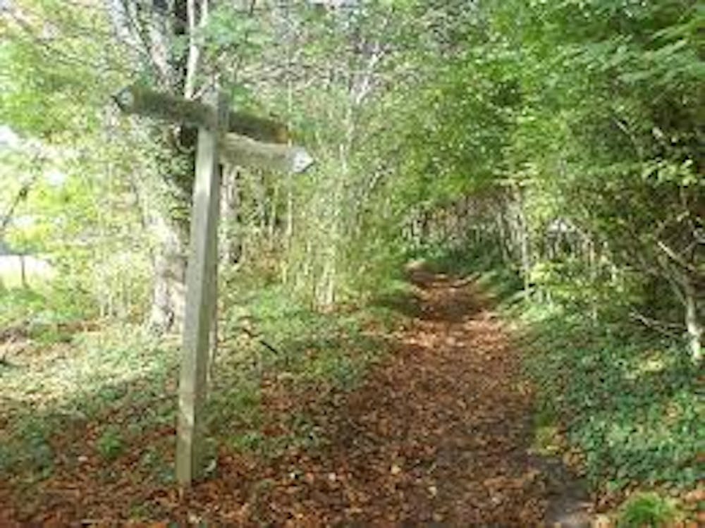
It starts in Kingston upon Thames and heads south through Epsom Common, Horton Country Park and Mickelham Downs. The route finishes at Westumble near the pretty Box Hill Country Park in Surrey.
Difficult
Hiking trails where obstacles such as rocks or roots are prevalent. Some obstacles can require care to step over or around. At times, the trail can be worn and eroded. The grade of the trail is generally quite steep, and can often lead to strenuous hiking.
499 m away
Explore one of London’s eight Royal parks, famed for its roaming herds of red and fallow deer.
Easy Hiking

5 routes · Hiking