4.7 km away
Derwent Reservoir Loop
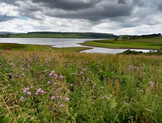
A long and enjoyable stroll around one of England's best known reservoirs
Moderate Hiking
- Distance
- 20 km
- Ascent
- 551 m
- Descent
- 551 m
lovely hike where hardly anyone ever goes
Hiking Difficult

This is a popular hiking route which is generally considered to be difficult. It's remote, it features medium exposure and is typically done between April and October. From a low point of 283 m to the maximum altitude of 530 m, the route covers 12 km, 420 vertical metres of ascent and 420 vertical metres of descent.
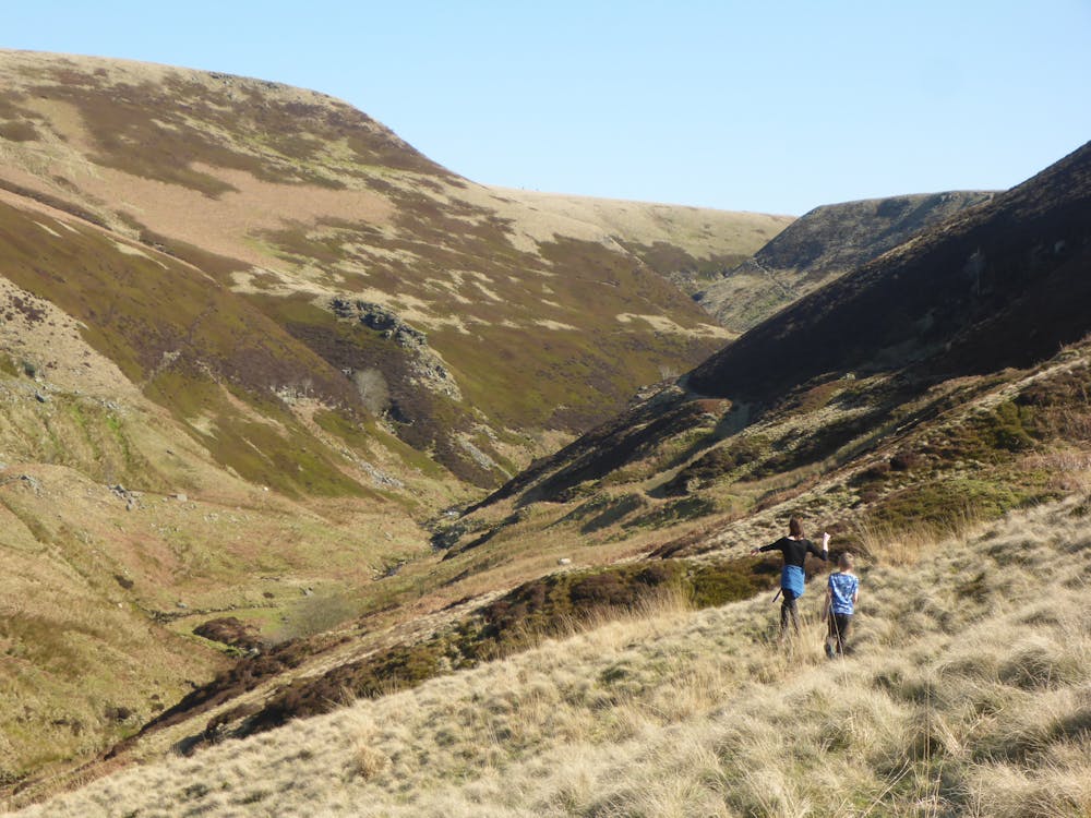
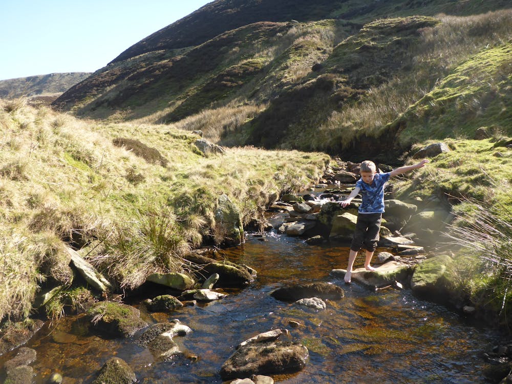
lovely wander up and over Back Tor and down into a remote valley with great paddling
Difficult
Hiking trails where obstacles such as rocks or roots are prevalent. Some obstacles can require care to step over or around. At times, the trail can be worn and eroded. The grade of the trail is generally quite steep, and can often lead to strenuous hiking.

The trail contains some obstacles such as outcroppings and rock which could cause injury.
Away from help but easily accessed.
4.7 km away
A long and enjoyable stroll around one of England's best known reservoirs
Moderate Hiking