5.8 km away
Virginia Water Lake Loop
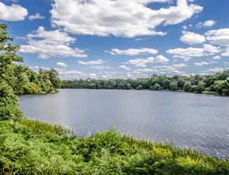
An easy and beautiful stroll around a peaceful lake
Easy Hiking
- Distance
- 8.4 km
- Ascent
- 96 m
- Descent
- 96 m
Travel through the Colne Valley on this walk from Staines to Uxbridge.
Also in Buckinghamshire, United Kingdom • Surrey, United Kingdom
Hiking Difficult

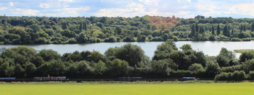
The walk starts by the River Thames in Staines and begins with a lovely section around King George VI and Wraysbury Reservoirs that takes you to Colnbrook. This section also passes across the delightful Staines Moor where you enjoy views of the Wraysbury River and River Colne. The area of grassland attracts grazing horses and cattle with a variety of birdlife around the streams and reservoirs. From Colnbrook you continue north with a waterside section along the River Colne with views of Little Britain lake. The walk finishes at Uxbridge in the London Borough of Hillingdon. The trail also runs close to the pretty Harmondsworth Moor Country Park. Just to the east of Staines Moor the park has some nice footpaths and two lakes. The path also runs close to Runnymede Park and where you can see the Magna Carta monument, enjoy woodland trails and visit the Langham Ponds wetland area.
Difficult
Hiking trails where obstacles such as rocks or roots are prevalent. Some obstacles can require care to step over or around. At times, the trail can be worn and eroded. The grade of the trail is generally quite steep, and can often lead to strenuous hiking.
5.8 km away
An easy and beautiful stroll around a peaceful lake
Easy Hiking