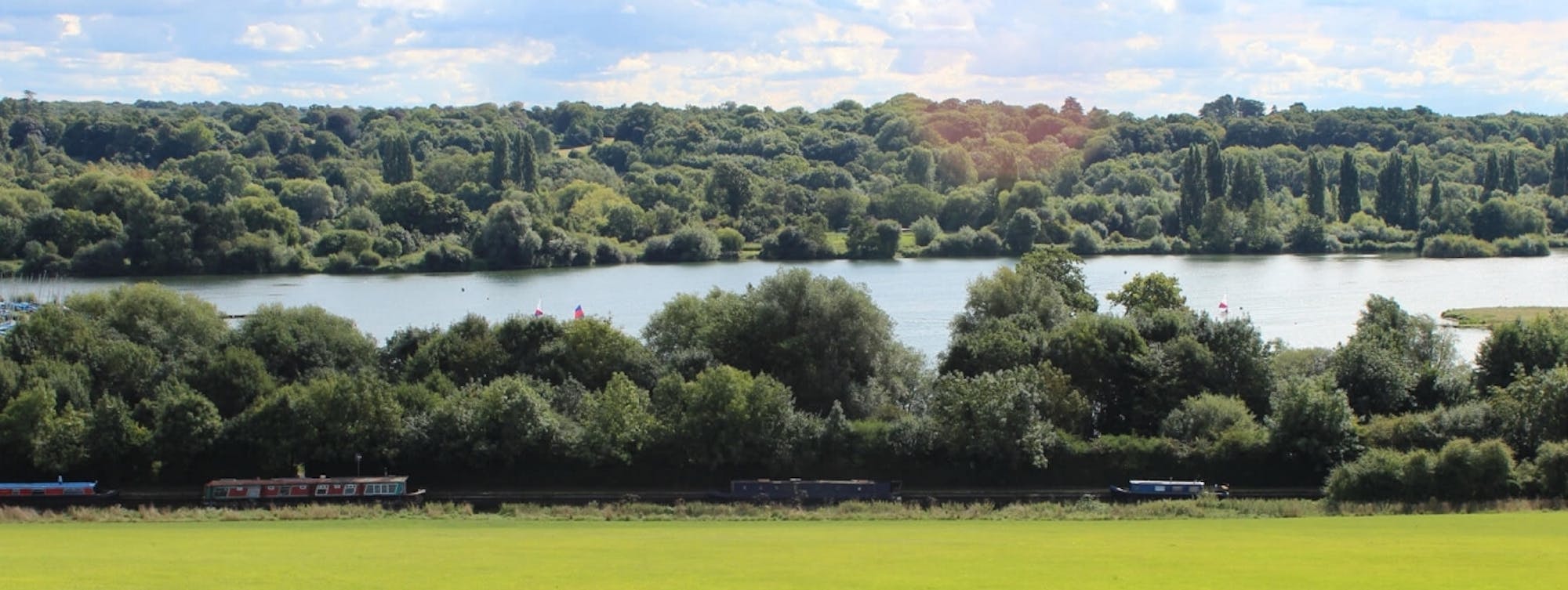
Colne Valley Way
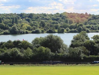
Travel through the Colne Valley on this walk from Staines to Uxbridge.
Difficult Hiking
- Distance
- 19 km
- Ascent
- 74 m
- Descent
- 55 m
Go hiking in Slough with curated guides of the best hikes across the region. With over 1 3D trail maps in FATMAP, you can easily discover and navigate the best trails in Slough.
No matter what your next adventure has in store, you can find a guide on FATMAP to help you plan your next epic trip.
Get a top hiking trail recommendation in Slough, or get inspired by the 1 local adventures uploaded by the FATMAP community. Start exploring now!
Travel through the Colne Valley on this walk from Staines to Uxbridge.
Difficult Hiking