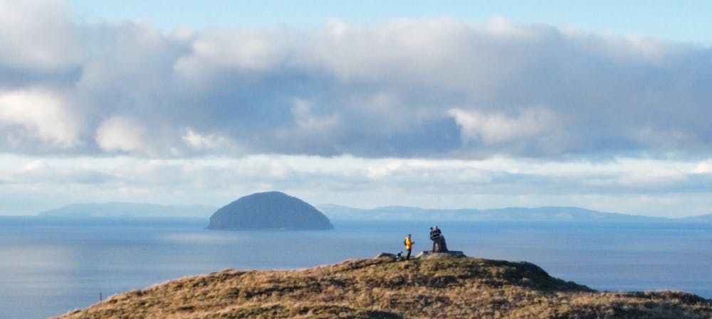
BYNE HILL
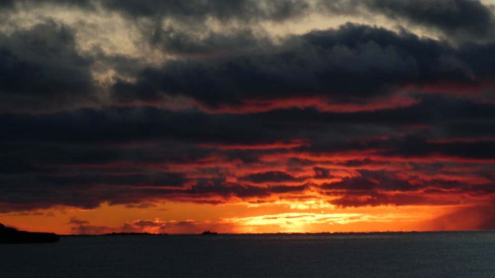
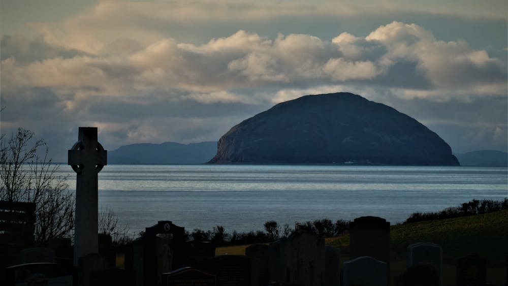
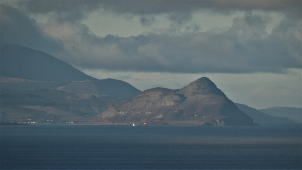
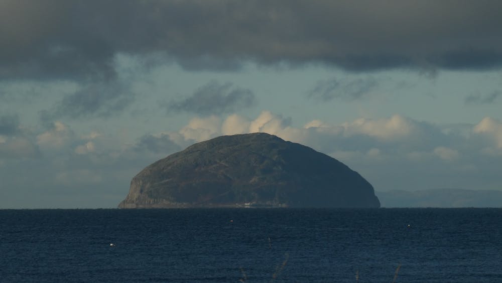
a little hill with fantastic views in girvan
Hiking Easy
- Distance
- 9.6 km
- Ascent
- 229 m
- Descent
- 230 m
- Duration
- 2-3 hrs
- Low Point
- 0 m
- High Point
- 208 m
- Gradient
- 10˚

This is a popular hiking route which is generally considered to be easy. It's not remote, it features low exposure and is typically done between March and October. From a low point of 0 m to the maximum altitude of 208 m, the route covers 9.6 km, 229 vertical metres of ascent and 230 vertical metres of descent.
- •
- •
- •
- •
- •
Description
views and beach walk
Difficulty
Easy
Walking along a well-kept trail that’s mostly flat. No obstacles are present.
Low Exposure

The path is on completely flat land and potential injury is limited to falling over.
Remoteness
Close to help in case of emergency.
Best time to visit
Features
- Wildlife
- Historical
- Picturesque
- Summit Hike
- Dog friendly
- Family friendly