Newlands Corner and Chantry Wood
Explore 2 of Guildford's best loved natural spots
Hiking Moderate
- Distance
- 10 km
- Ascent
- 303 m
- Descent
- 302 m
- Duration
- 2-3 hrs
- Low Point
- 61 m
- High Point
- 181 m
- Gradient
- 6˚

The hike from Newlands Corner to Chantry Wood is a picturesque and enjoyable trail that takes hikers through the beautiful Surrey Hills countryside. The route is approximately 5 miles long and takes around 2-3 hours to complete, depending on your pace and the weather conditions.
Description
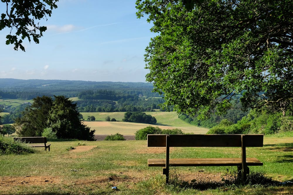
Starting from the car park at Newlands Corner, the trail initially follows the North Downs Way towards St. Martha's Hill. This section of the hike offers breathtaking views of the surrounding countryside and is relatively easy, with only a few gentle inclines.
After reaching St. Martha's Hill, the trail turns towards Chantry Wood. The path descends through a wooded valley, passing by a stream and a picturesque pond before ascending towards the top of the hill.
Once you reach the top of the hill, you'll arrive at the entrance to Chantry Wood. The woodland is a peaceful and tranquil spot, with a variety of tree species and wildlife to discover. The trail winds through the woods, passing by a number of old beech trees and some stunning views of the surrounding hills and valleys.
Chantry Wood is also a haven for wildlife, with a range of animals and birds living amongst the trees and undergrowth. The woods are also home to a variety of wildflowers, including bluebells, primroses, and wild garlic, which bloom in the spring.
At the top of the hill in Chantry Wood, you can see the ruins of Chantry Chapel. The chapel was built in the 14th century as a place of worship for local people and is now a Scheduled Ancient Monument. The ruins are surrounded by beautiful woodland and offer a glimpse into the area's rich history.
When you're ready for a drink, drift back to your car and head into one of the surrounding villages.
Difficulty
Moderate
Hiking along trails with some uneven terrain and small hills. Small rocks and roots may be present.
Low Exposure

The path is on completely flat land and potential injury is limited to falling over.
Remoteness
Close to help in case of emergency.
Best time to visit
Features
- Wildlife
- Picturesque
- Summit Hike
- Dog friendly
- Wild flowers
- Family friendly