3.9 km away
Hampstead Heath Circular Route
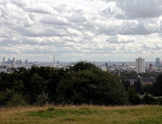
A stroll around Hampstead Heath and surrounding historical gems, including a very famous pub.
Easy Hiking
- Distance
- 6.5 km
- Ascent
- 127 m
- Descent
- 127 m
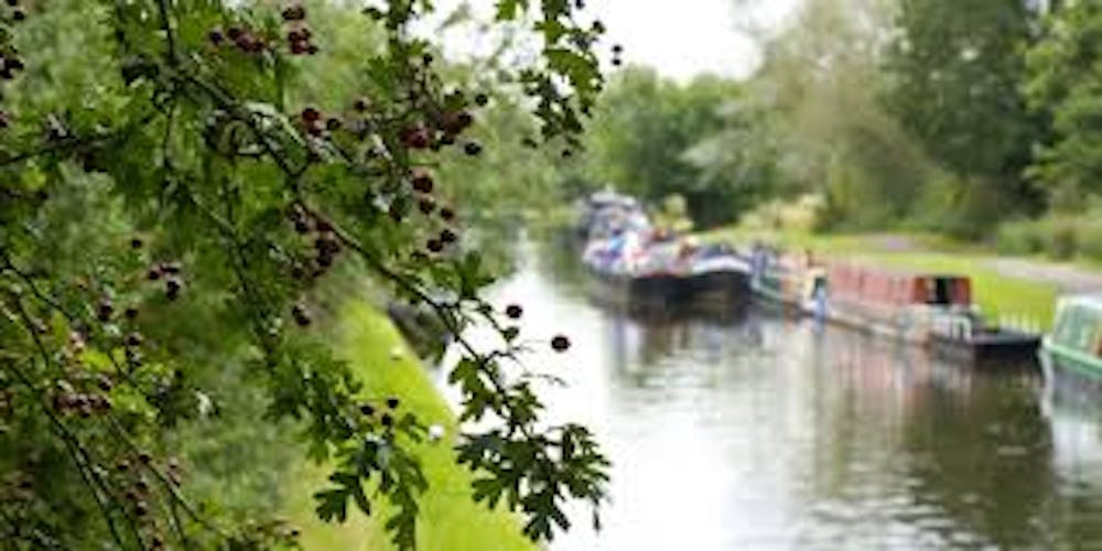
The Grand Union Canal Walk runs along the length of the canal which links England's two biggest cities from Little Venice in Paddington into the heart of Birmingham. As it links the two major English cities it was a major transport link before the coming of the rail and road travel. These days the canal is almost exclusively used by pleasure craft and the towpath by the pleasure craft persons and by leisure and long distance walkers.
Also in Birmingham, United Kingdom • Brent, United Kingdom • Buckinghamshire, United Kingdom • Harrow, United Kingdom • Hertfordshire, United Kingdom • Northamptonshire, United Kingdom • Oxfordshire, United Kingdom • Solihull, United Kingdom • Warwickshire, United Kingdom
Hiking Severe

This is a popular hiking route which is generally considered to be severe. It's an unknown remoteness, it features unknown exposure and is typically done in an unknown time of year. From a low point of 22 m to the maximum altitude of 153 m, the route covers 225 km, 721 vertical metres of ascent and 610 vertical metres of descent.
Days: 9-14
Severe
Hiking challenging trails where simple scrambling, with the occasional use of the hands, is a distinct possibility. The trails are often filled with all manner of obstacles both small and large, and the hills are very steep. Obstacles and challenges are often unexpected and can be unpredictable.
3.9 km away
A stroll around Hampstead Heath and surrounding historical gems, including a very famous pub.
Easy Hiking
7.6 km away
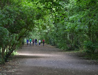
Amble along the old railway from Finsbury Park to Alexandra Palace, through London’s longest local nature reserve.
Easy Hiking
5 routes · Hiking
4 routes · Hiking