Lemosho Route - Kilimanjaro
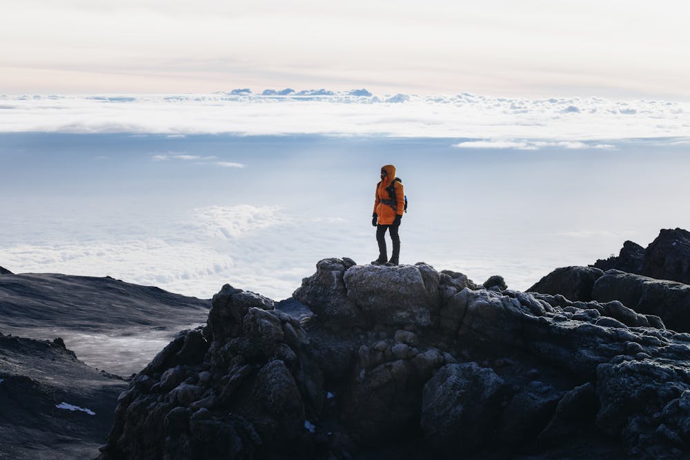
Climbing to Uhuru peak (5,895 m) on Kilimanjaro via the 7-Day Lemosho Route
Hiking Moderate
- Distance
- 61 km
- Ascent
- 3.7 km
- Descent
- 5.5 km
- Duration
- 1 day +
- Low Point
- 1.6 km
- High Point
- 5.9 km
- Gradient
- 23˚

This is a popular hiking route which is generally considered to be moderate. It's remote, it features high exposure and is typically done in January, February, March, June, July, August, September, October and December. From a low point of 1.6 km to the maximum altitude of 5.9 km, the route covers 61 km, 3714 vertical metres of ascent and 5471 vertical metres of descent.
Description
Climbing Kilimanjaro via the popular Lemosho Route
Difficulty
Moderate
Hiking along trails with some uneven terrain and small hills. Small rocks and roots may be present.
High Exposure

Some trail sections have exposed ledges or steep ascents/descents where falling could cause serious injury.
Remoteness

Away from help but easily accessed.
Best time to visit
Features
- Alpine
- Wildlife
- Summit Hike
- Wild flowers
- Water features
- Forestry or heavy vegetation