6 routes · Alpine Climbing · Ski Touring
The epic and scenic journey up the lower reaches of Denali
Alpine Climbing Moderate

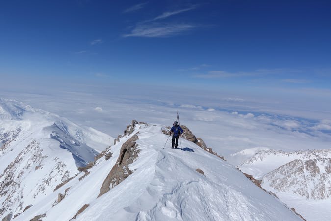
Denali is a mountain of epic proportions. The journey up it is long, tiring, character building and breathtakingly beautiful amid a truly savage mountain range.
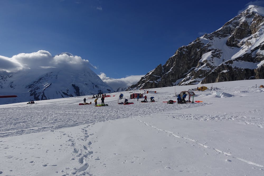
After a spectacular flight in from Talkeetna, teams headed for Denali are dropped off at the landing strip next to Basecamp located at 7,200 ft on the Kalhiltna Glacier. Directly under the north face of Mt. Hunter, Basecamp is a convivial spot during peak season. With a permanent ranger presence and coordinators from a couple of the main ski plane operators, logistics are made easier.
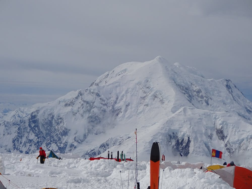
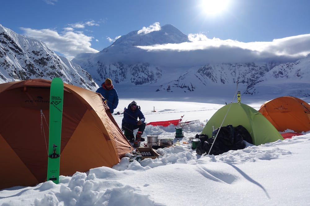
Whatever their objective on Denali, almost all teams make their way up from the Kalhiltna Basecamp to 14k Camp, located at 14,000 ft on Denali. 14k Camp is the starting point for almost every climbing route and ski line on the mountain. The vast majority of teams aim to summit via the West Buttress, which is by far the easiest way to the top. However, 14k Camp is also the starting point for the Cassin ridge, and the high end alpine climbing routes of the South Face via a descent of the Seattle Ramp. Moreover, 14k Camp is also surrounded by fantastic ski terrain, and virtually every ski descent of the mountain starts and finishes there.
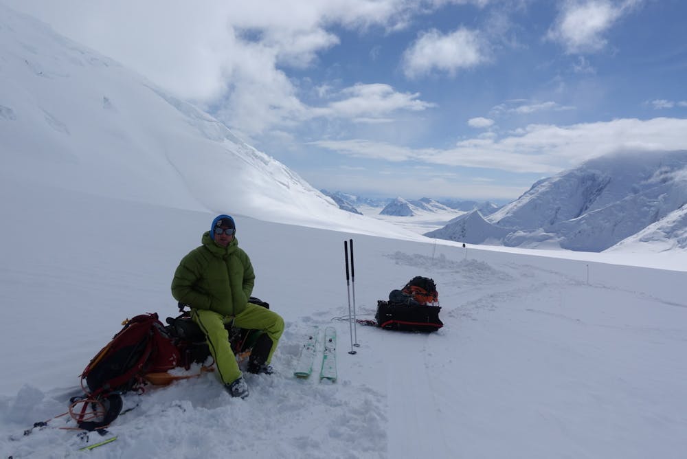
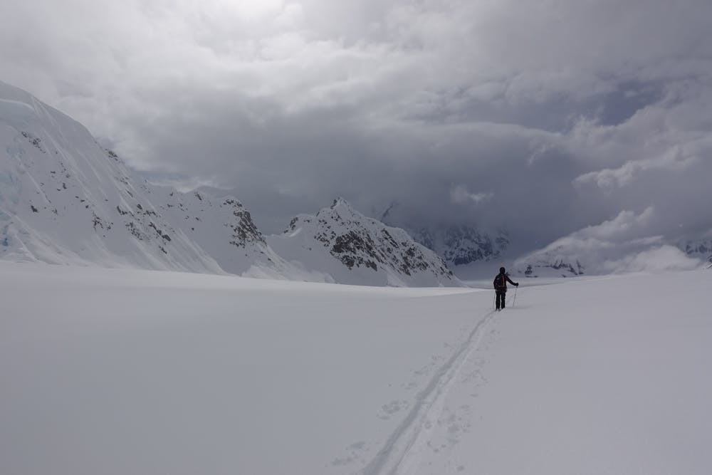
The route between Basecamp and 14k Camp presents no real technical difficulties yet it is long and arduous. The route is marked with wands the entire way which greatly helps navigation in bad weather. Either using snowshoes or skis is highly advisable. Teams will load their sleds with typically 2-3 weeks of food and fuel as well as their camping and climbing gear. A strong team will be able to make their way from Basecamp to 14k Camp in 2-3 days 'single carrying'. Most guided teams take longer and stash supplies along the way.
There are two main camps along the route, Camp 1 at 7,800 ft and 11k Camp at 11,000 ft. Above 11k Camp there are some steeper passages to negotiate, with slopes up to 35 degrees which are sometimes necessary to crampon up. The last obstacle on route to 14k Camp is the aptly named 'Windy Corner' which often has scoured bare glacial ice and open crevasses.
Moderate
May involve slightly more complex glacier hikes, easy but possibly long rock ridges and steep snow up to 45 degrees. Equivalent to PD, PD+

The route is well protected or easy enough that protection is not required.

Little chance of being seen or helped in case of an accident.
6 routes · Alpine Climbing · Ski Touring

18 routes · Alpine Climbing · Hiking