7 routes · Hiking
Wild in every sense of the word––the Arrigetch Peaks beckon the adventurous away from civilization and into the heart of the Brooks Range.
Hiking Difficult

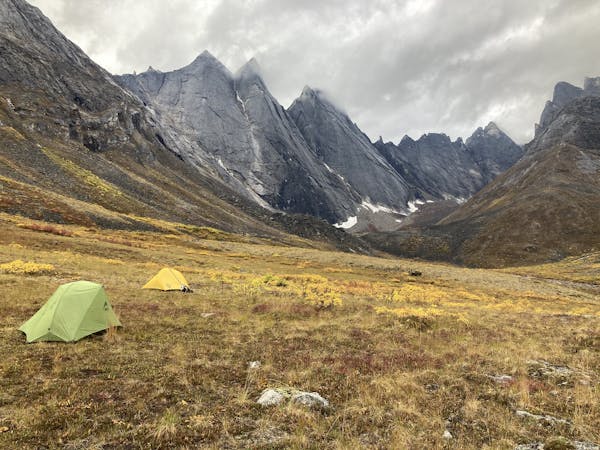
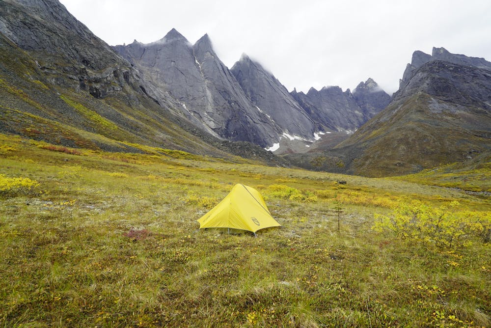
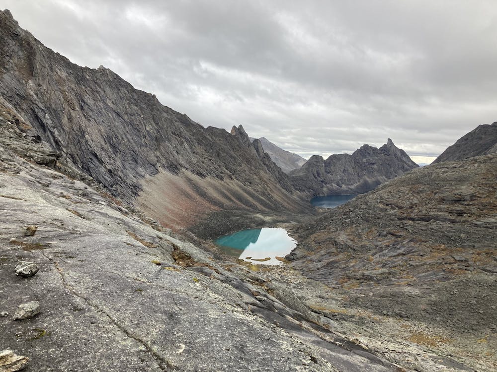
The Arrigetch Peaks are considered by many to be the crown of the Brooks Range. Though not the tallest in this 700-mile chain of mountains, they are some of the most impressive. Arrigetch means “fingers of the hand outstretched,” and so these granite pinnacles claw at the Arctic sky, draped in hanging glaciers and flanked by verdant valleys. Most people witness the spectacle only from the air, on sightseeing flights over Gates of the Arctic National Park. It is possible to hike into the wild midst of it, but not on any official trail, and only after reaching the heart of the range by plane or by boat.
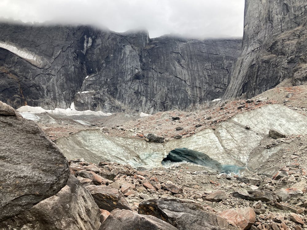
Arrigetch Creek flows from these peaks to the Alatna River, and provides the corridor for reaching them. If you arrive by plane, you’ll likely land on Circle Lake, where the route mapped here begins. If you instead float the Alatna River, you can take out closer to Arrigetch Creek and thereby shave some distance off.
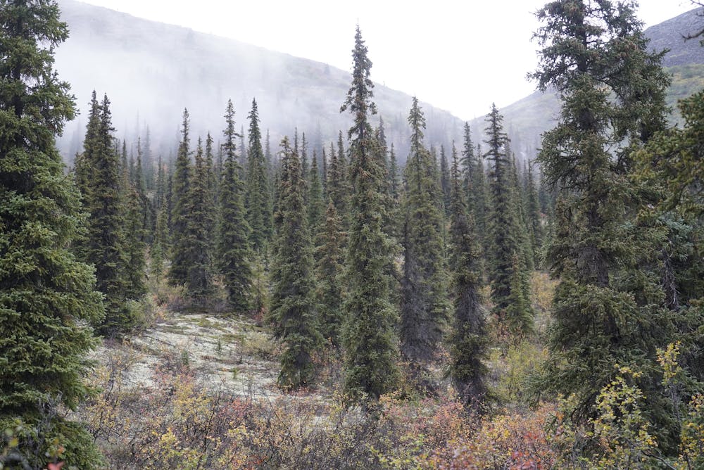
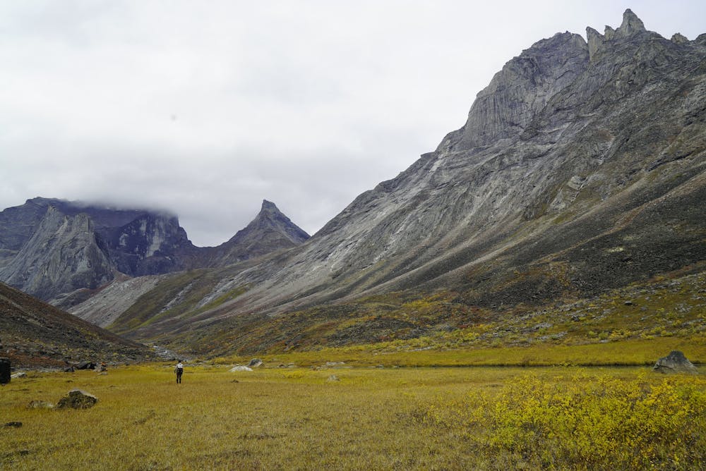
Though Arrigetch Valley may be the most traveled hike in Gates of the Arctic, the route is not easy to follow or to complete. It’s an off-trail journey through difficult terrain and thick vegetation in true wilderness where communications are limited and help may not come for days. It’s a trip only for the most experienced, or for guided groups.
Mapped here is the general way up the valley, ending at the confluence of the creek from Aquarius Valley. This junction is a common area to camp and basecamp. It’s possible to hike there in a day from Circle Lake, but most parties break it into two, camping at one of a few good sites in the lower Arrigetch Valley. Social trails exist much of the way, but they crisscross with game trails, and sometimes no path is visible. Be prepared for significant route finding through tundra brush and mire, plus creek crossings, and expect your track on the ground to differ substantially from what’s mapped here.
Sources: https://www.nps.gov/gaar/planyourvisit/arrigetch-peaks.htm http://www.terragalleria.com/blog/a-backpacking-trip-into-the-arrigetch-peaks-gates-of-the-arctic-national-park/ https://sonjasaxe.com/blog/2016/8/20/the-last-frontier-gates-of-the-arctic-national-park-part-1
Difficult
Hiking trails where obstacles such as rocks or roots are prevalent. Some obstacles can require care to step over or around. At times, the trail can be worn and eroded. The grade of the trail is generally quite steep, and can often lead to strenuous hiking.

The trail contains some obstacles such as outcroppings and rock which could cause injury.

In the high mountains or remote conditions, all individuals must be completely autonomous in every situation.
7 routes · Hiking