787 m away
Bartlett Cove Forest Trail Loop
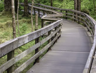
A partially-accessible hike in Bartlett Cove with two spectacular overlooks of a small pond.
Moderate Hiking
- Distance
- 1.8 km
- Ascent
- 41 m
- Descent
- 41 m
Hike through lush spruce-hemlock forests bound for the mouth of Bartlett River.
Hiking Moderate
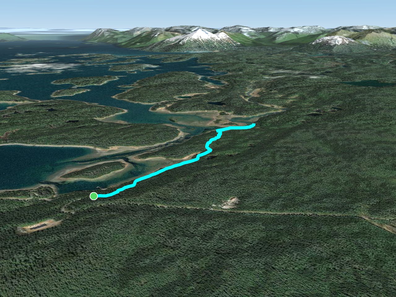
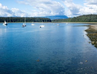
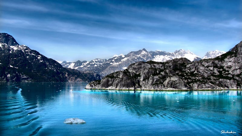
If you're looking for a classic half-day hike in Glacier Bay, the Bartlett River Trail is a spectacular option - especially if your goal is to fish. As one of the park's few maintained trails in the backcountry, this trail roams through lush stands of spruce and hemlock then emerges at the mouth of the Bartlett River as it flows into the bay.
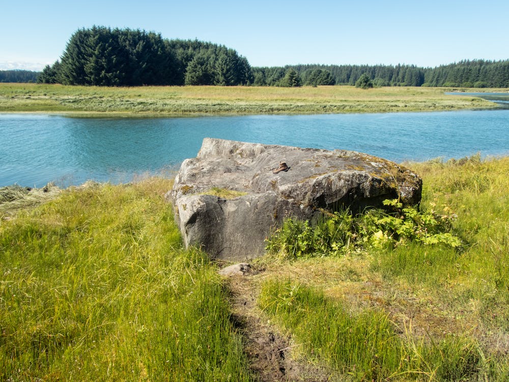
According to the park, a popular option is to continue hiking upstream along the river once the trail officially ends. "Each summer spawning salmon attract hungry otters, eagles, seals, and bears," which also yields excellent fishing opportunities for anglers. More information on fishing in Glacier Bay National Park can be found here.
The most common way to enjoy the Bartlett River Trail is to hike an out-and-back from the main trailhead. When the trail splits less than a mile from the lot, keep left to hike to the trail's end. To the right, the Bartlett Lake Trail continues another 4 miles on a primitive path that rewards "wilderness solitude" throughout the all-day trek.
Moderate
Hiking along trails with some uneven terrain and small hills. Small rocks and roots may be present.

The trail contains some obstacles such as outcroppings and rock which could cause injury.

Little chance of being seen or helped in case of an accident.
787 m away
A partially-accessible hike in Bartlett Cove with two spectacular overlooks of a small pond.
Moderate Hiking
1.1 km away
An easy bayside stroll with several exhibits highlighting native culture and wildlife.
Easy Hiking
1.1 km away

One of Glacier Bay's lesser-known day hikes to an impressive overlook of the bay.
Moderate Hiking
4 routes · Hiking

63 routes · Alpine Climbing · Hiking