
4 routes · Hiking
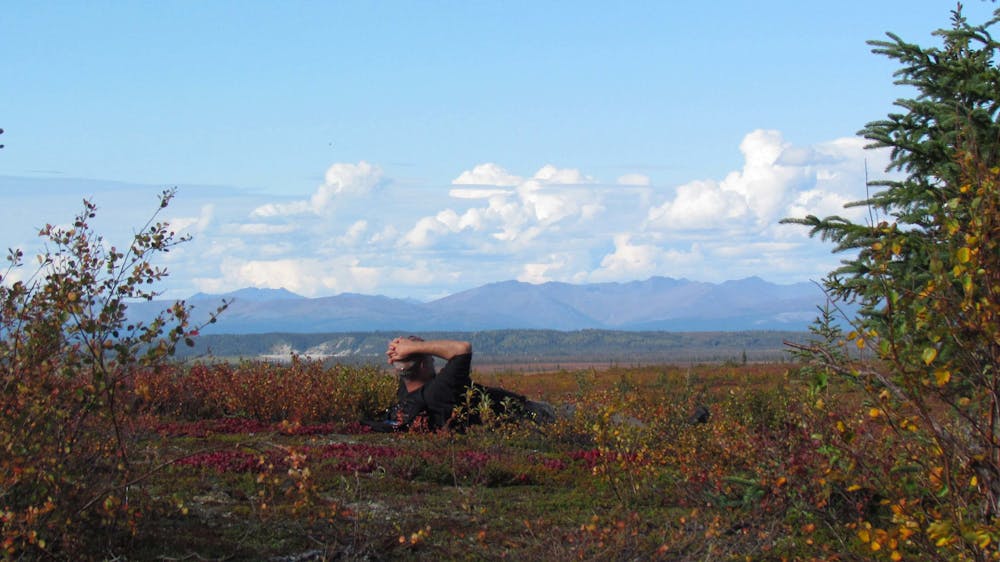
A historical point of interest along the Kobuk River, and a great place to look for caribou in autumn.
Hiking Easy

This spot along the Kobuk River is one of the most significant archaeological sites in the Arctic, and also an important cultural site to Native Alaskans. It’s a place where the caribou herds predictably cross the river on their migrations, becoming vulnerable targets in the water. It’s therefore been a crucial hunting ground for thousands of years.
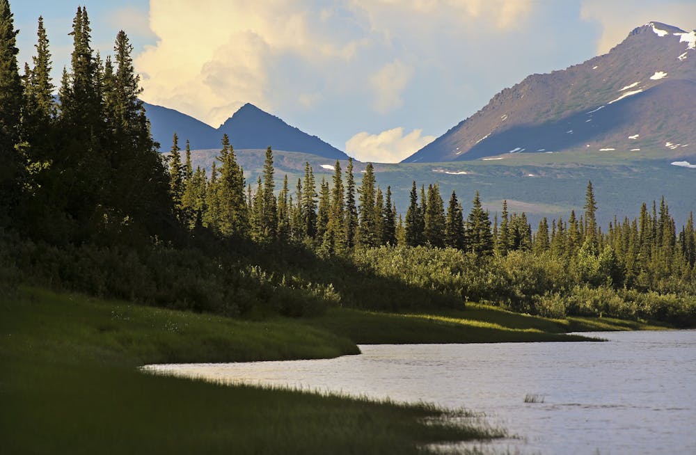
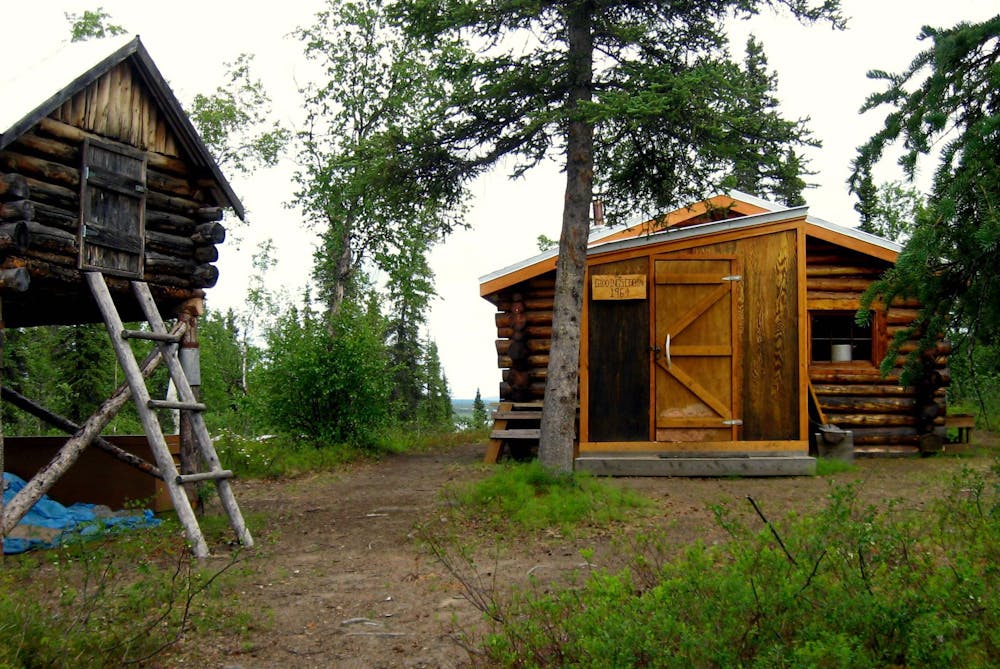
Because Onion Portage is still used for hunting by Kobuk Valley residents, access may sometimes be restricted. Otherwise, it makes an interesting stop on a river trip or flightseeing excursion, especially in the fall when caribou might be spotted. At the portage site, a gravel beach and a wooded slope lead to a historic log cabin maintained by the Park Service. It’s occasionally manned as a ranger station but is normally closed to the public. The track mapped here is a short walk in the vicinity of the cabin. Longer hikes along the river or across the peninsula are possible.
Sources: https://www.nps.gov/kova/learn/historyculture/onion-portage.htm https://en.wikipedia.org/wiki/OnionPortageArcheologicalDistrict
Easy
Walking along a well-kept trail that’s mostly flat. No obstacles are present.

The trail contains some obstacles such as outcroppings and rock which could cause injury.

Little chance of being seen or helped in case of an accident.
4 routes · Hiking