0 m away
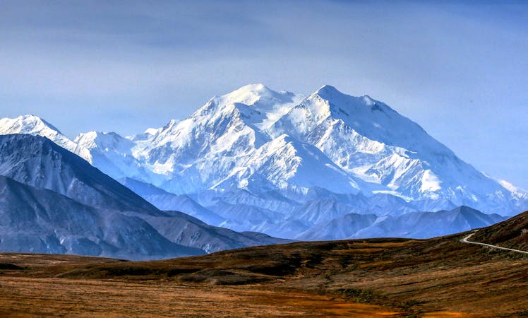
Savage Alpine Trail
Enjoy fantastic views of Denali from the alpine tundra that this beautiful trail passes through.
Difficult Hiking
- Distance
- 6.8 km
- Ascent
- 521 m
- Descent
- 476 m
A short hike deep in Denali NP, yet still accessible by private passenger vehicle.
Hiking Easy

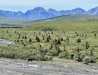
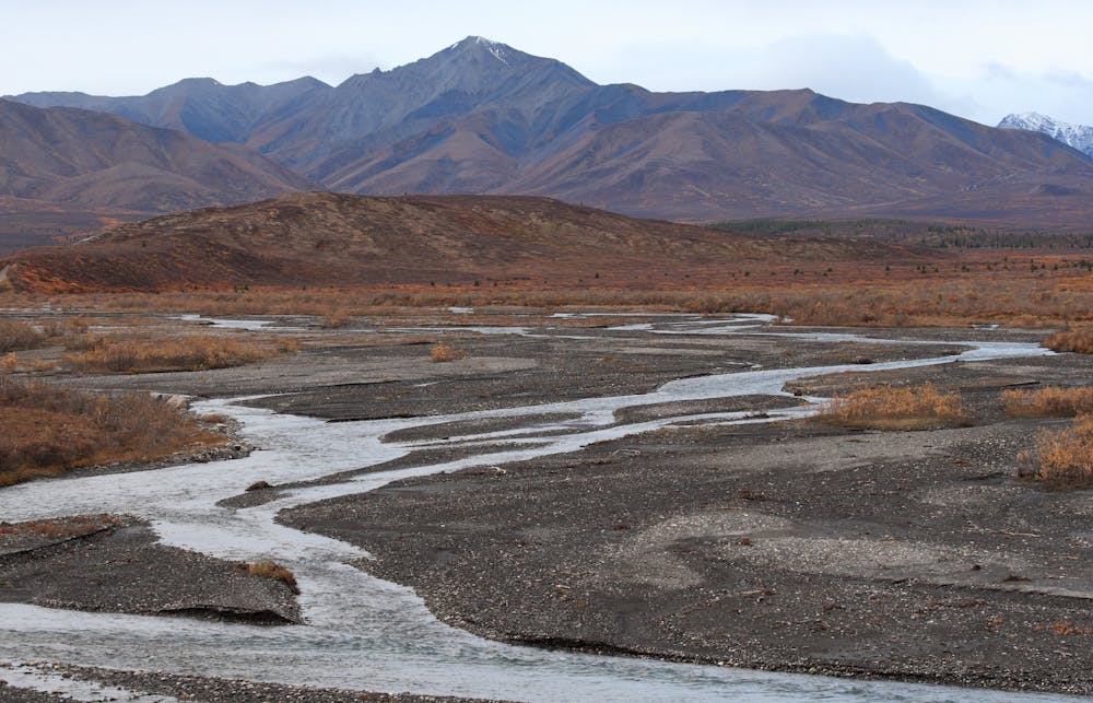
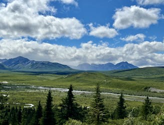
The Savage River Loop Trail is a spectacular short hike in Denali NP worth planning a day trip around. It's the most remote trailhead accessible by private vehicle, with shuttle busses as the only option available for heading further into the park. The views along the river are nothing short of spectacular, and the spring and early-summer yield a beautiful assortment of wildflowers. Wildlife sightings are also quite common through the canyon, though you should always observe from a distance.
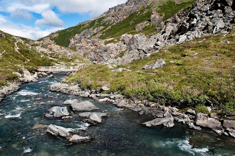
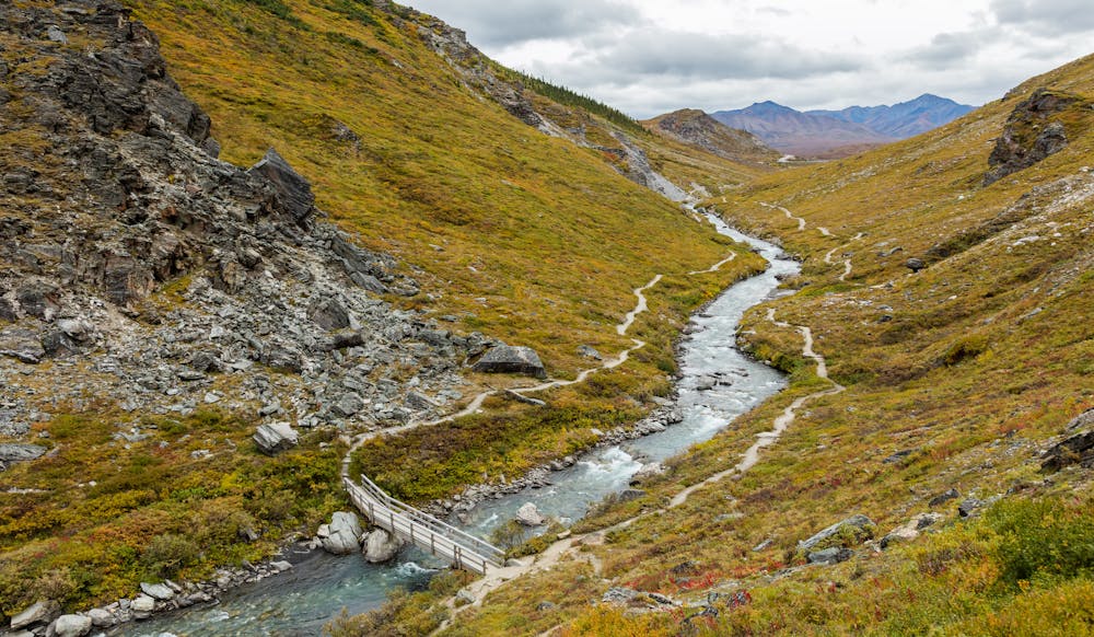
To hike the Savage River Loop, drive 15 miles on Denali Park Road past the main entrance station. A day-use area offers plenty of parking for cars and RV's, plus restrooms are available whenever the road is open - typically April through early-October. As the name implies, the path loops back to the same trailhead, making it difficult to get lost.
One major bonus to this hike is that off-trail travel is permitted in most of Denali, a rarity amongst national parks. Though there is a defined path, wandering along the side of the canyon can offer a unique perspective for photographers, while children may enjoy time playing near the river. Though not completely vertical, the steep and rocky canyon walls do pose a risk of serious injury or fall, the park warns.
Easy
Walking along a well-kept trail that’s mostly flat. No obstacles are present.

The path is on completely flat land and potential injury is limited to falling over.

Away from help but easily accessed.
0 m away
Enjoy fantastic views of Denali from the alpine tundra that this beautiful trail passes through.
Difficult Hiking
3.3 km away
One of the best spots for viewing Denali.
Easy Hiking
8 routes · Hiking

10 routes · Alpine Climbing · Canyoning · Hiking