16 Mile DH Trail
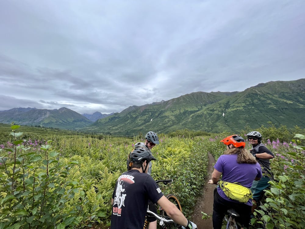
One of Alaska's favorite shuttle runs.
Mountain Biking Difficult
- Distance
- 3 km
- Ascent
- 6 m
- Descent
- 298 m
- Duration
- 0-1 hrs
- Low Point
- 469 m
- High Point
- 764 m
- Gradient
- 6˚

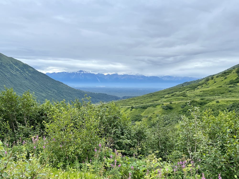
The 16 Mile DH Trail isn't nearly 16 miles in length, but rather is located near the 16-mile marker on Hatcher Pass. The trail drops off the side of the paved road and plunges nearly straight down the mountainside, ending at a lower section of pavement. Thanks to both a convenient parking lot at the top and bottom, many locals will come out here and run laps over and over again on this fast, flowy trail.
- •
- •
- •
Description
At just under two miles in length, these downhill laps are short, but there aren't too many trails available in Alaska that are easy to shuttle, making it unusual for the area and quite appealing to local riders.
Despite being called a "DH Trail," this flowy descent is intermediate in difficulty. At the time of this writing in 2022, the initial drop-in to the trail is fairly steep and eroded, with a trench down the middle and some loose, rolling stones down the trench. Presently, this is actually the most difficult portion of the entire trail, but rumor has it that trail work is planned to touch things up.
After that washed-out section, the trail is quite smooth and flowy throughout. It's well-built and well-maintained, but like every trail in Alaska, it can get overgrown in the summertime.
As you rip down the mountain, a whole slew of fantastic berms will help keep your speed and stoke high. In between the berms, a wide array of jumps will beg you to launch your bike into the air. All the jumps can easily be rolled, but advanced riders will enjoy the diversity of the jumps here. You'll find a few big table tops, some booters and kickers, a few step downs. The hits aren't all obvious or straightforward and could require a scouting run before really sending them.
Overall, though, the intermediate rating does check out. While advanced riders will enjoy the hang time and the shuttle runs, intermediates will be just fine on this downhill shuttle.
Difficulty
Difficult
Mostly stable trail tread with some variability featuring larger and more unavoidable obstacles that may include, but not be limited to: bigger stones, roots, steps, and narrow curves. Compared to lower intermediate, technical difficulty is more advanced and grades of slopes are steeper. Ideal for upper intermediate riders.
Medium Exposure

The trail contains some obstacles such as outcroppings and rock which could cause injury.
Remoteness
Away from help but easily accessed.
Best time to visit
Features
- Flow
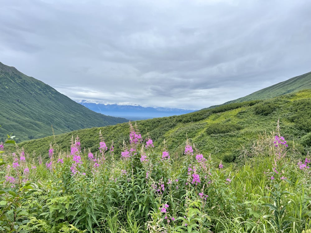
- Picturesque
- Shuttle-run
- Singletrack
- Drops
- Jumps
- Gap Jumps
- Tabletops