Resurrection Pass
An epic backcountry point-to-point trail, renowned as one of the most beautiful on the Kenai Peninsula.
Trail Running Difficult
- Distance
- 60 km
- Ascent
- 1.8 km
- Descent
- 1.8 km
- Duration
- 1 day +
- Low Point
- 108 m
- High Point
- 810 m
- Gradient
- 6˚

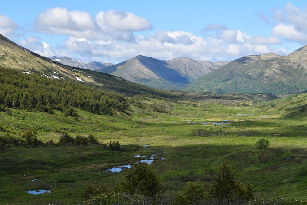
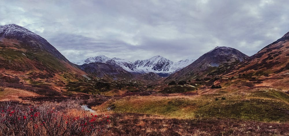
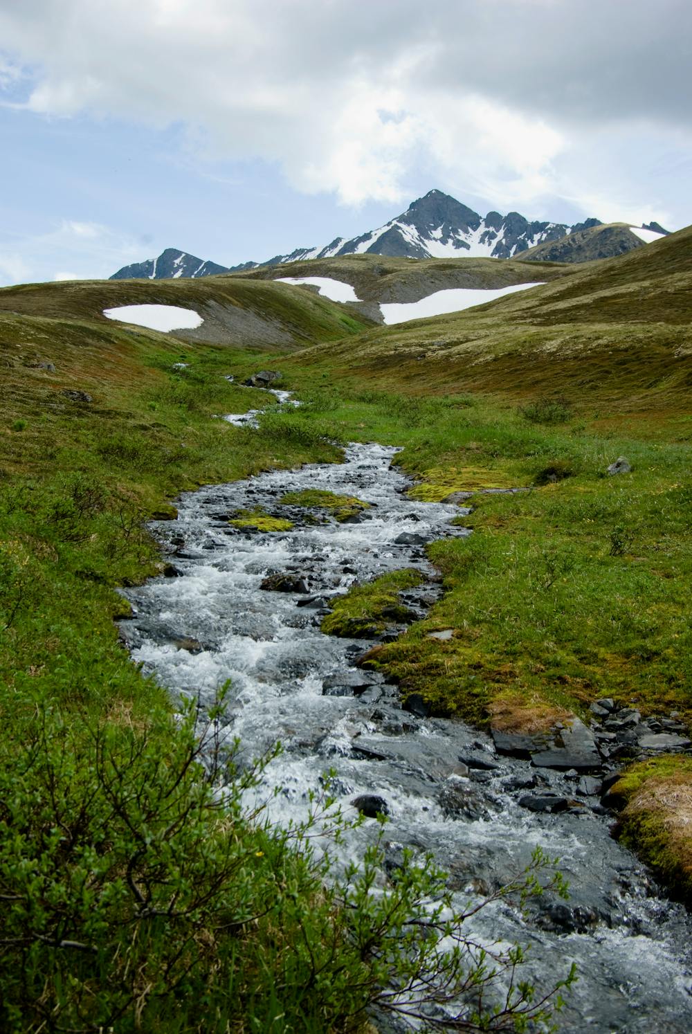
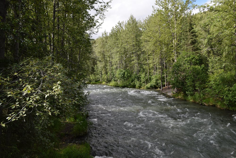
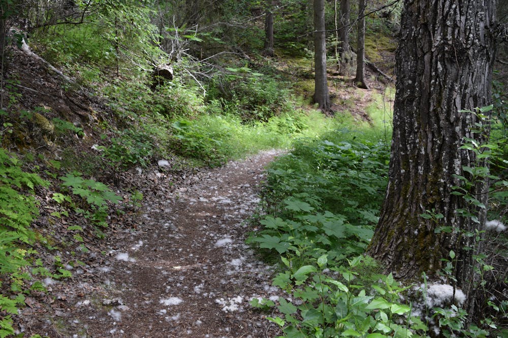
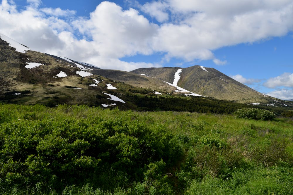
Resurrection Pass is a classic backcountry point-to-point trail on the Kenai Peninsula running ~38 miles from just outside the town of Hope to Sterling Highway and the Kenai River. This epic trail crosses a majestic alpine pass high in the mountains. Along the way, it passes crystal-clear lakes and rushing streams, and it provides endless views of mountain peaks. While this is a full-commitment backcountry trek, the reward is well worth the effort.


- •
- •
- •
- •
- •
- •
- •
- •
Description
The ease of access to both ends of this trail makes it a popular point-to-point backpacking trip. You can easily set up a self-shuttle with a pair of cars and traverse this majestic mountain range over the course of 3 or 4 days. Since this is such a popular backpacking trip, you'll find numerous established campsites along the way.
This is bear country, so be bear aware, come prepared with bear spray, and practice all Leave No Trace and bear safety guidelines.
Difficulty
Difficult
Medium Exposure

The trail contains some obstacles such as outcroppings and rock which could cause injury.
Remoteness

In the high mountains or remote conditions, all individuals must be completely autonomous in every situation.