9 km away
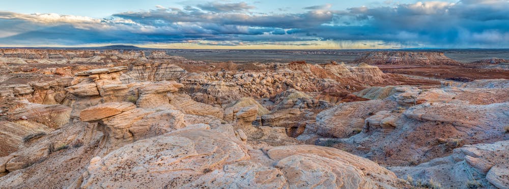
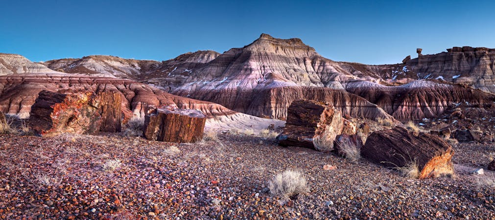
Crystal Forest
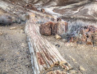
One of the best places to see petrified wood in the national park.
Easy Hiking
- Distance
- 1.4 km
- Ascent
- 14 m
- Descent
- 14 m
One of the best hikes in Petrified Forest National Park.
Hiking Easy

Blue Mesa is regarded as one of the best hikes in Petrified Forest National Park. On this short loop, you'll get to view the beautiful petrified logs set with a backdrop of bluish bentonite clay hills. These hills are particularly beautiful when the rising or setting sun casts long, low-angle rays across the landscape.
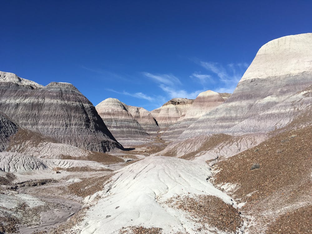
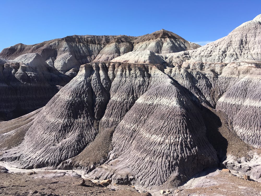
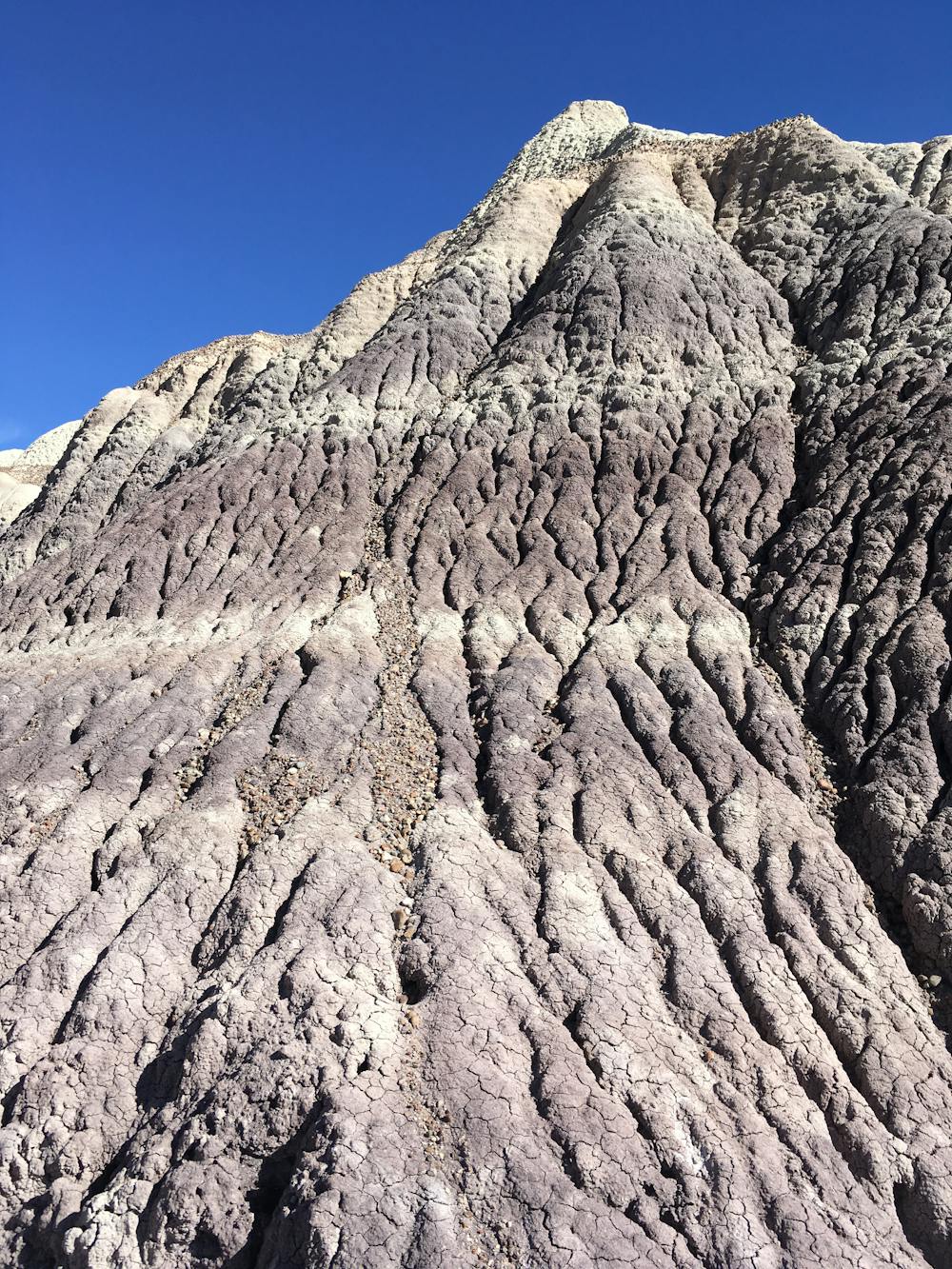
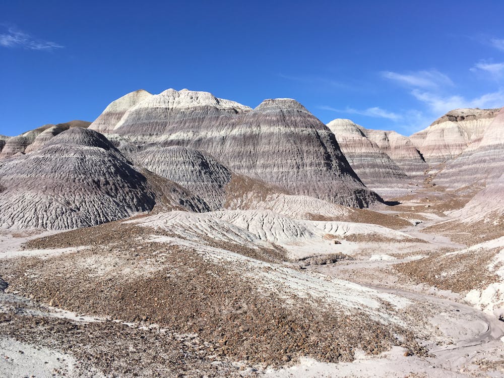
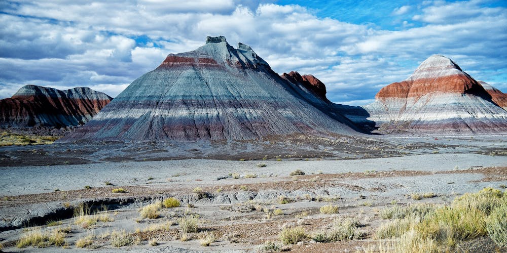
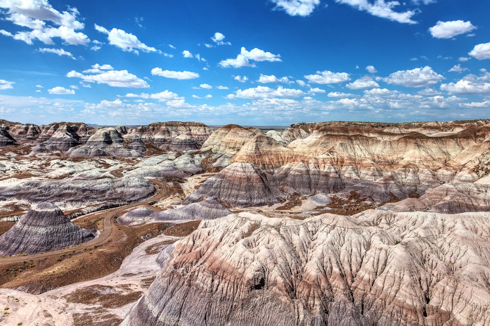
The hike begins with a short but steep descent from the trailhead down into the bottomlands. The entire trail tread is a maintained paved surface, meaning that the hike is entirely non-technical. However, the initial descent (and subsequent climb at the end) is plenty steep. But once down in the bottom, you'll hike a flat, scenic loop through the towering bentonite hills, gaining a new perspective of the area around every corner.
These "towering hills are banded by colorful layers of silts, sands, and gravels left behind by massive Triassac-age river systems that more than 200 million years ago left sedimentary deposits upwards of 1,000 feet deep across the landscape," according to Kurt Repanshek on NationalParksTraveler.com. Numerous fossils have been discovered in this area by paleontologists.
Once you've complete the lower loop, it's a short but steep grunt back to the top of the ridge and the trailhead where you began.
Easy
Walking along a well-kept trail that’s mostly flat. No obstacles are present.

The path is on completely flat land and potential injury is limited to falling over.
Close to help in case of emergency.
9 km away
One of the best places to see petrified wood in the national park.
Easy Hiking
5 routes · Hiking

63 routes · Alpine Climbing · Hiking