Sunset Trail to Marshall Peak
Climb a wonderful peak as a logical extension to the classic Sunset Trail
Hiking Moderate
- Distance
- 9.8 km
- Ascent
- 449 m
- Descent
- 449 m
- Duration
- 2-3 hrs
- Low Point
- 2.3 km
- High Point
- 2.5 km
- Gradient
- 8˚

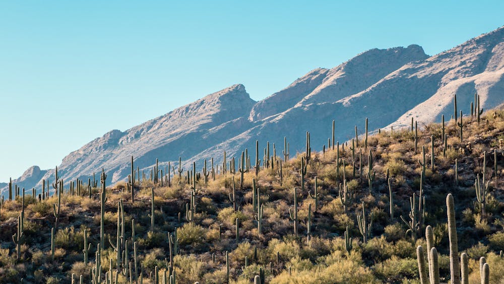
The Sunset Trail is a classic easy hike in the Santa Catalina Research Natural Area, just to the northeast of Tucson. This line takes you along the trail, but adds on the trip (almost) to the summit of Marshall Peak, a rocky summit in the heart this wild area.
Description
Park up at Soldier Camp and follow the Sunset Trail into the Marshall Gulch. Follow this as it climbs through increasingly sparse vegetation to join the Aspen Trail - follow this as it ascends up to the foot of Marshall Peak's rocky summit block. It's possible, for adventurous hikers, to climb onto the summit itself, but this involves off-trail hiking and makes this a more challenging trip. The views across the Santa Catalina are fabulous regardless of whether you go all the way to the top of Marshall peak.
Having either tagged the summit or just passed beneath it, descend the Aspen Trail as it winds down a blunt ridge to Sabino Creek. Retrace your steps from the start of the day and head back to Soldier Camp.
Difficulty
Moderate
Hiking along trails with some uneven terrain and small hills. Small rocks and roots may be present.
Medium Exposure

The trail contains some obstacles such as outcroppings and rock which could cause injury.
Remoteness

Little chance of being seen or helped in case of an accident.
Best time to visit
Features
- Wildlife
- Picturesque
- Summit Hike
- Dog friendly
- Family friendly