
23 routes · Mountain Biking · Hiking
A classic northern Arizona Trail mountain biking experience, complete with singletrack and doubletrack, abundant wildlife, awesome views, and some route-finding challenges.
Mountain Biking Moderate

Follow the historic stagecoach line from Flagstaff to Grand Canyon during this 100-mile adventure. Over four days you’ll see terrain as diverse as anywhere in northern Arizona, from the fern and aspen groves of the San Francisco Peaks, to the big sky country across the Babbitt Ranch, and through pinon-juniper forests that lead right up to the South Rim of Grand Canyon. This is a classic mountain biking route that is ideal for upper beginner and intermediate riders.
Day 3
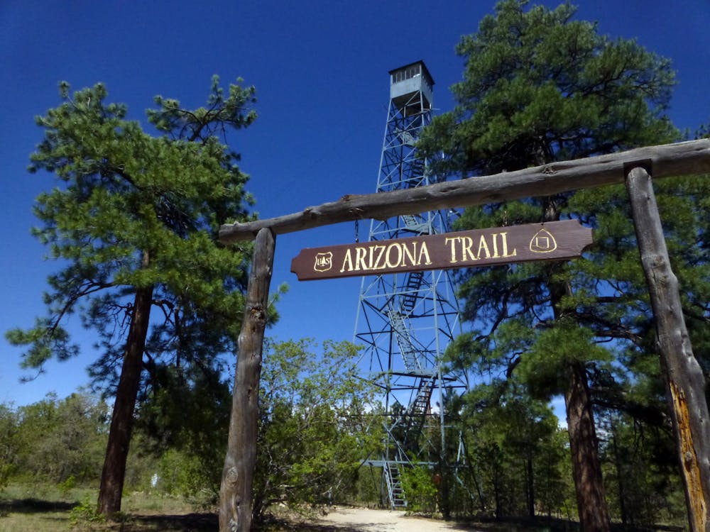
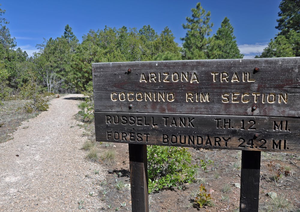
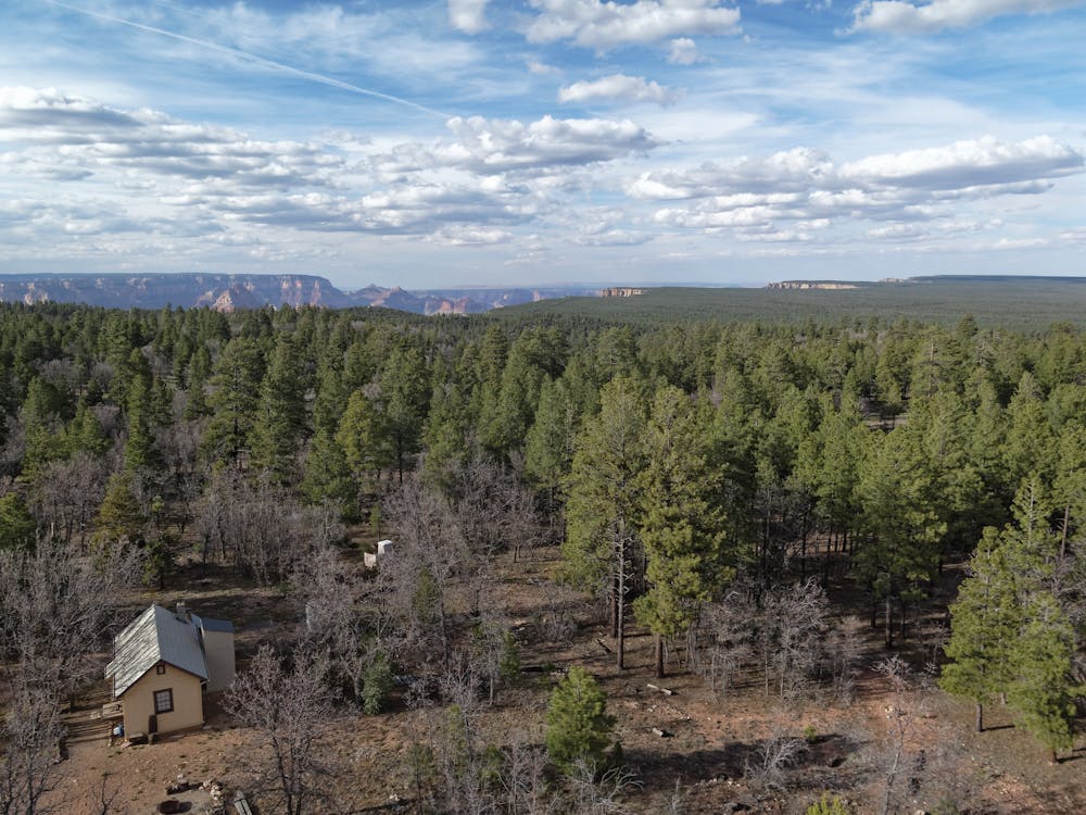
This ride is a classic northern Arizona Trail mountain biking experience, complete with singletrack and doubletrack, abundant wildlife, awesome views, and some route-finding challenges. But for the most part, it’s easy riding. You’ll gain elevation steadily over the first 17 miles, then descend gradually toward the town of Tusayan. Watch out for low-growing prickly pear cactus as well as some of the steep drainages than can get blown out after summer storms. The chances of seeing and hearing elk along this segment are very good, since their populations are abundant in the Kaibab National Forest. You will get an unforgettable view of the Grand Canyon if you climb the Grandview Lookout Tower (19 miles into the ride). From there, continue pedaling west toward the town of Tusayan. In addition to some fun forest roads you’ll also enjoy some pleasant singletrack. After crossing under Highway 64 you’ll ride through Tusayan – stop and check out the Arizona Trail display inside the IMAX Theater courtyard – then meet us at camp in the forest just south of town. Ice cream, cold beer and other luxuries can be found in Tusayan. Ride length is 35 miles.
For more information and to book a tour, visit: http://aztexpeditions.com/arizona-trail-20.html
Moderate
Mostly stable trail tread with some variability, with unavoidable obstacles 8in/20cm tall or less. Other obstacles such as rock gullies and steep sections may exist. Ideal for lower intermediate riders.

The trail contains some obstacles such as outcroppings and rock which could cause injury.
Away from help but easily accessed.
23 routes · Mountain Biking · Hiking