
23 routes · Mountain Biking · Hiking
One of the Top 10 passages on the entire Arizona Trail.
Mountain Biking Difficult

One of Arizona’s least visited natural wonders lies hidden on the Kaibab Plateau north of Grand Canyon National Park. Along the Arizona Trail between Grand Canyon and the Utah state line you’ll discover outstanding singletrack, phenomenal views, and beautiful forests and meadows that seldom see human visitors. This area is only accessible between May and November as winter can bury the entire plateau in snow for over half the year.
This was the first segment of Arizona Trail to be designated in the 1980s and remains one of the most significant portions of trail in the state. After four days of riding you’ll understand why. While the first two days include rolling terrain at high elevation, the last two are mostly downhill. The highpoint of this ride on Day 1 is above 9,150 ft. and the lowpoint on day 4 is at 5,000 feet. Riders of all ability levels will appreciate this AZT Expedition, including beginners who don’t mind sucking a little wind at altitude.
Day Two
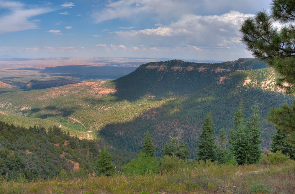
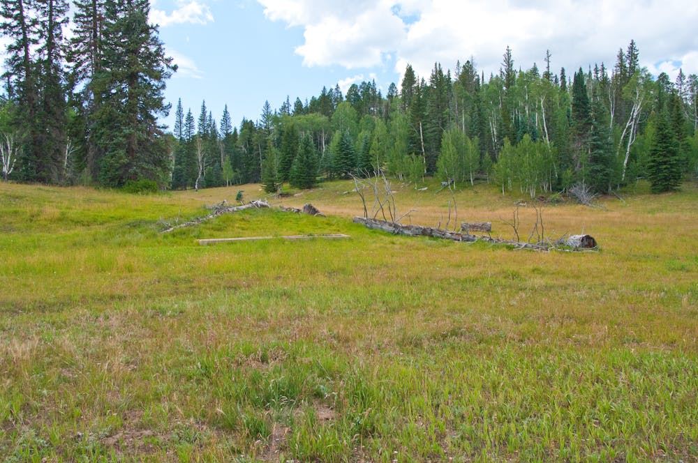
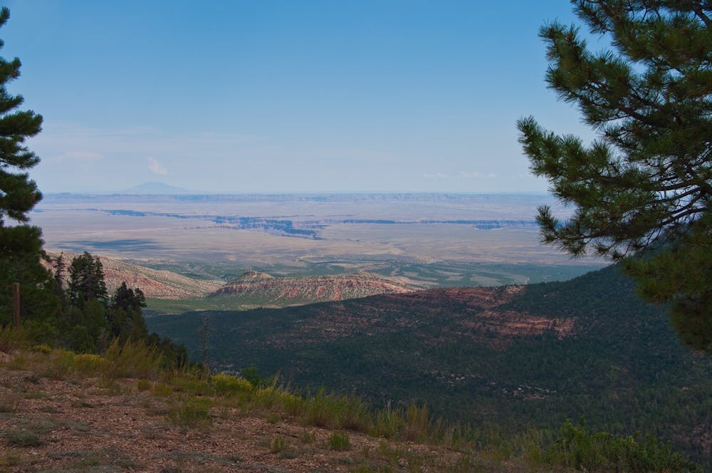
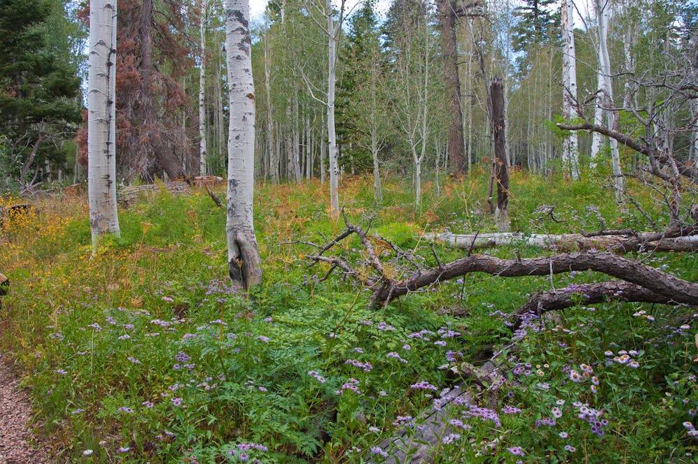
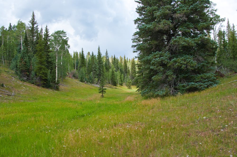
The 21 miles you’ll cover today are considered one of the Top 10 passages on the entire Arizona Trail. The trail is filled with short and exciting challenges, but mostly consists of quality tread through thick sub-alpine forest. Spruce, aspen and fir trees obscure your view for most of the morning. That is, until you approach the East Rim View. This will stop you in your tracks and beckon you to ditch your bike for a while and soak up the scene. From this viewpoint you gaze out across Saddle Mountain Wilderness, Marble Canyon, Vermilion Cliffs and Navajo Mountain in the distance. It’s absolutely stunning. Once you’re back in the saddle the trail just keeps getting better as you pass Dog Lake and the lush open meadows of Tater Canyon. Riding through here is the stuff of dreams, and you’re unlikely to see any other people. The trail continues to climb and descend through minor canyons until you pass Crane Lake and approach our camp near Telephone Hill. Ride length is 21 miles.
For more information and to book a tour, visit: http://aztexpeditions.com/portfolio/grand-canyon-to-utah.html
Difficult
Mostly stable trail tread with some variability featuring larger and more unavoidable obstacles that may include, but not be limited to: bigger stones, roots, steps, and narrow curves. Compared to lower intermediate, technical difficulty is more advanced and grades of slopes are steeper. Ideal for upper intermediate riders.

The trail contains some obstacles such as outcroppings and rock which could cause injury.

In the high mountains or remote conditions, all individuals must be completely autonomous in every situation.
23 routes · Mountain Biking · Hiking